Donets River
While there are no massive hydroelectric cascades on the Donets River comparable to those on the Dnieper, the river features several smaller reservoirs and…
Are there any significant dams or reservoirs built on the Donets River, and what is their purpose?
While there are no massive hydroelectric cascades on the Donets River comparable to those on the Dnieper, the river features several smaller reservoirs and infrastructure projects designed to manage its water resources.
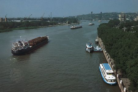
Smaller reservoirs are located on various tributaries of the Donets, and additional small reservoirs have been constructed near industrial cities like Kharkiv to support municipal and industrial water needs. Additionally, six weirs have been built along the river to facilitate navigation upstream as far as Donetsk.12
Because the Donets River serves as a vital water source for the Donets Basin industrial region, it has historically faced water shortages and pollution. To address these challenges, a canal was constructed in the 1970s to divert additional water from the Dnieper River to the Donets, ensuring a more reliable supply for the region’s heavy industrial and municipal demands.23
How does the Donets River contribute to the local climate and ecosystem of the region it flows through?
The Donets River plays a significant role in the regional environment, though its natural state has been heavily altered by industrial activity. Flowing through the Donets Basin, the river serves as a primary water source for the region’s heavy industry and municipal needs. This intensive usage, combined with industrial runoff, has led to severe pollution problems that negatively impact the river’s ecosystem.1
Hydrologically, the river is characterized by a continental regime, remaining frozen from early December to late March. Because the local demand for water often exceeds the river’s natural capacity, a canal was constructed in the 1970s to divert additional water from the Dnieper River to the Donets. While this infrastructure helps maintain water levels for industrial and municipal stability, such diversions and the presence of weirs for navigation fundamentally change the river’s natural flow patterns and ecological health.1
The river’s contribution to the regional climate is typical of the broader East European Plain, where rivers act as vital arteries within a moderately continental climate. However, the cumulative impact of industrial pollution and water management remains a critical environmental concern for the region.31
How long is the Donets River, and what are its major tributaries?
The Donets River has a total length of 650 miles (1,050 km).1
While the river is a significant waterway that drains a basin of 39,000 square miles (100,000 square km), the provided search results do not specify its major tributaries. The river rises in the Central Russian Upland, flows through parts of Russia and Ukraine, and eventually joins the Don River.1
Where is the Donets River located, and what countries does it flow through?
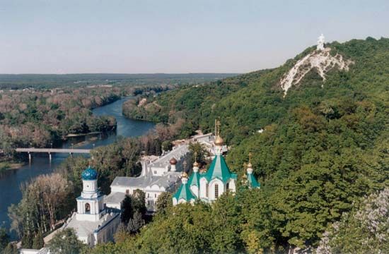
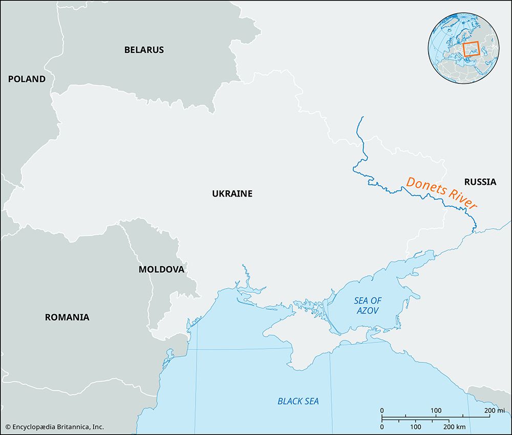
The Donets River is located in southwestern Russia and eastern Ukraine.
Rising in the Central Russian Upland, the river follows a winding path across the border between the two nations:
Sources
- Donets River — Encyclopædia Britannica
- Ukraine - Drainage — Encyclopædia Britannica
- Don River — Encyclopædia Britannica
- Tsimlyansk Reservoir — Encyclopædia Britannica
- Dnieper River - History and economy — Encyclopædia Britannica
- Europe - Topographic influences — Encyclopædia Britannica
- Europe - Hydrology — Encyclopædia Britannica
Published on · 2 min read