Ganges-Yamuna Doab
The Ganges-Yamuna Doab is one of India's most fertile regions, primarily due to its geological formation as an alluvial trough created by sediment deposits…
How does the geography and climate of the Ganges-Yamuna Doab affect agriculture in the region?
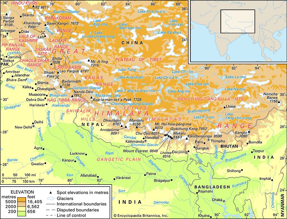
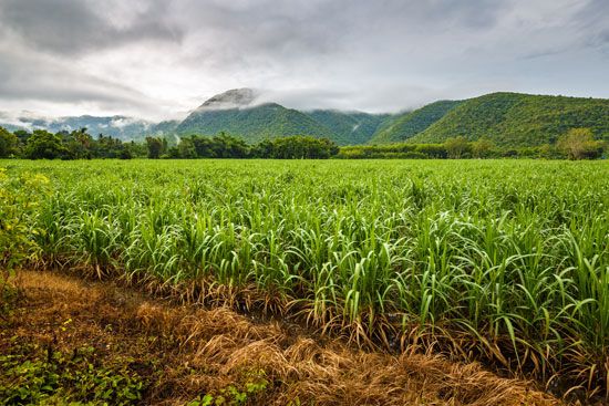
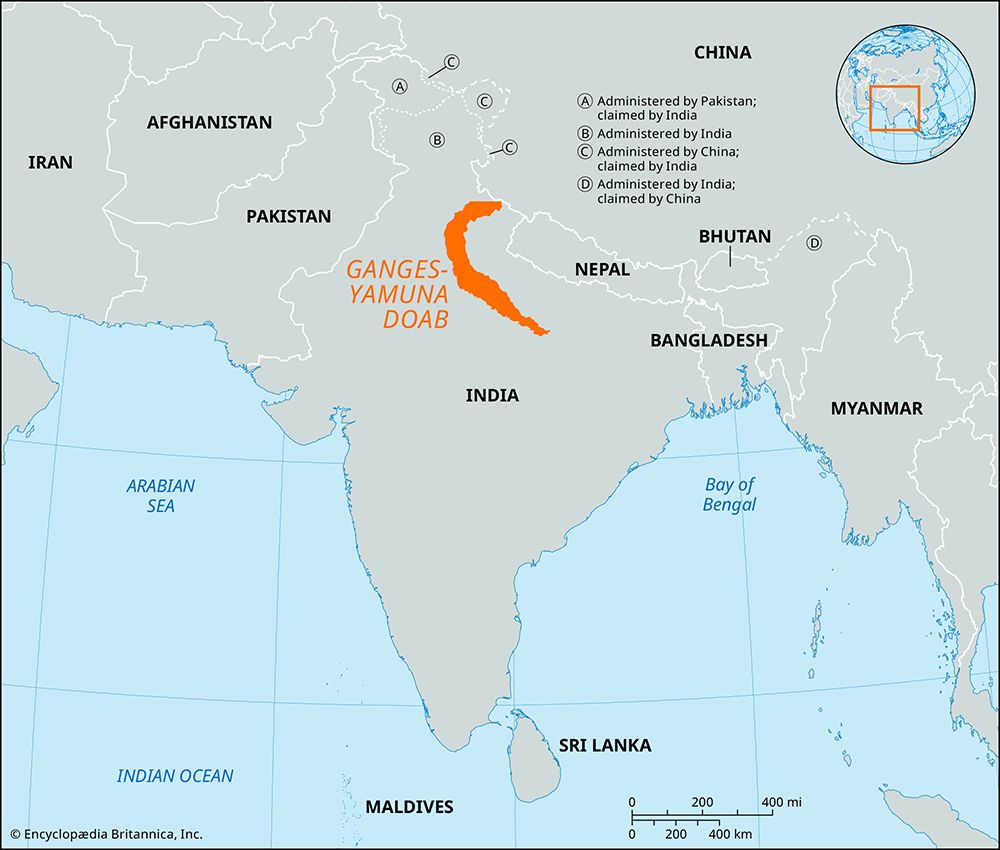
The Ganges-Yamuna Doab is one of India’s most fertile regions, primarily due to its geological formation as an alluvial trough created by sediment deposits from rivers flowing from the Himalayas. This rich, deep alluvial soil supports intensive cultivation and crop rotation, including cereals, pulses, sugarcane, fruits, and vegetables.1
The region’s agricultural success is heavily dependent on its hydrology and climate:
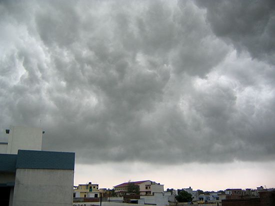
- Water Supply: Agriculture relies on a combination of seasonal rainfall from the southwest monsoon (July to October) and meltwater from Himalayan snows during the hot season (April to June).2
- Irrigation: Because rainfall in the upper Gangetic Plain is moderate (averaging 30–40 inches annually), the region has developed an extensive network of gravity canals, such as the Upper Ganga Canal, to support water-intensive cash crops like sugarcane.32
- Topography: The gentle slope of the land facilitates the distribution of water, though higher northern areas often require groundwater pumping from wells to supplement canal irrigation.13
How has the water management system evolved in the Ganges-Yamuna Doab over time?
The water management system in the Ganges-Yamuna Doab has evolved significantly over millennia, transitioning from ancient traditional methods to extensive modern engineering.
Historical Development
Irrigation in the region dates back over 2,000 years, with early practices documented in ancient scriptures and by the Greek historian Megasthenes in the 4th century BCE. During the period of Muslim rule starting in the 12th century, irrigation techniques were further refined, and Mughal rulers commissioned the construction of several canals. This infrastructure was later expanded and modernized during the British colonial era.2
Modern Infrastructure
Today, the region relies on a complex network of gravity canals that support intensive agriculture, particularly for cash crops like sugarcane and cotton. Key components include:
- Canal Systems: The Upper Ganga Canal and the Lower Ganga Canal serve as primary arteries for water distribution.2
- Groundwater Extraction: In northern areas where canal irrigation is geographically difficult, farmers utilize hand-dug wells and electric pumps to access groundwater.2
Environmental Challenges
The intensification of water management has introduced significant ecological pressures. High demand for irrigation often reduces river flow, hindering the natural dilution of industrial and agricultural pollutants. Furthermore, modern efforts have shifted toward restoration; the Namami Gange program, launched in 2014, represents a contemporary commitment to improving water quality and expanding sewage treatment infrastructure to mitigate the environmental degradation caused by centuries of human activity.45
What role did the Ganges-Yamuna Doab play in the development of ancient Indian empires?
The Ganges-Yamuna Doab served as a vital foundation for ancient Indian empires due to its exceptional fertility and strategic location within the Indo-Gangetic Plain. As the heartland of Hindustan, this region provided the agricultural surplus necessary to support dense populations and sustain the administrative and military needs of successive civilizations.12
The region’s importance is highlighted by the following:
- Strategic Capitals: The western Ganges basin, which includes the Doab, hosted the centers of the Mughal Empire at Delhi and Agra. Additionally, Kannauj served as the capital for the empire of Harsha in the 7th century, underscoring the area’s role as a seat of political power.2
- Agricultural Foundation: The Doab’s ability to support intensive cultivation has been a constant throughout history. Ancient irrigation practices, recorded in scriptures over 2,000 years ago and observed by Megasthenes in the 4th century BCE, allowed empires to harness the land’s productivity for economic stability.8
How has the Ganges-Yamuna Doab contributed to India’s agricultural production?
The Ganges-Yamuna Doab is one of India’s most fertile and productive agricultural regions. Its high productivity is rooted in its geological formation as an alluvial trough, which provides nutrient-rich soil deposited by rivers flowing from the Himalayas.1
The region’s agricultural success is driven by:
- Intensive Cultivation: The economy relies on intensive farming and crop rotation, producing a diverse range of goods including cereals, legumes (pulses), sugarcane, fruits, and vegetables.1
- Advanced Irrigation: The Doab benefits from a sophisticated, long-standing irrigation network. Ancient practices have evolved into a modern system of gravity canals, such as the Upper Ganga Canal and the Lower Ganga Canal, which significantly boost the yields of cash crops like cotton and oilseeds.2
- Groundwater Utilization: In areas where canal irrigation is geographically challenging, farmers effectively utilize hand-dug wells and electric pumps to maintain consistent water access.2
Beyond crop production, the region supports significant dairy farming and livestock raising, further cementing its role as a cornerstone of India’s agricultural output.1
Sources
- Ganges-Yamuna Doab — Encyclopædia Britannica
- Ganges River - Irrigation — Encyclopædia Britannica
- Ganges River - Climate and hydrology — Encyclopædia Britannica
- Ganges River - Navigation — Encyclopædia Britannica
- Ganges River - Environmental issues — Encyclopædia Britannica
- pollution in India - Pollutant buildup in rivers — Encyclopædia Britannica
- Indus River - Irrigation of the Indus River — Encyclopædia Britannica
- Ganges River - People — Encyclopædia Britannica
Published on · 3 min read