Gunnbjørn Mountain
Gunnbjørn Mountain is the highest mountain in Greenland, reaching an elevation of 12,139 feet (3,700 meters). Located in the southeastern part of the island…
What is Gunnbjørn Mountain?
Gunnbjørn Mountain is the highest mountain in Greenland, reaching an elevation of 12,139 feet (3,700 meters). Located in the southeastern part of the island, it sits approximately 40 miles (65 km) inland from the Blosseville Coast.1
The peak is part of a mountain range that stretches 500 miles (800 km) along the coast, with many summits in this belt exceeding 7,000 feet (2,000 meters). Named after a 9th-century Icelandic voyager, the mountain is characterized by several large glaciers that flow eastward toward the Denmark Strait.1
What is the climate like in Greenland’s mountain regions?
The climate in Greenland’s mountain regions is characterized by an Arctic environment, where rapid weather shifts—ranging from clear sunshine to intense blizzards—are common. These conditions are driven by the movement of low-pressure air masses over the island’s permanent, cold interior ice cap.12
Key climatic features of these regions include:
- Temperature: The climate is generally extreme, though it varies by location and elevation. In the interior and northern areas, the climate is continental, with mean temperatures significantly lower than in the south. Strong, cold winds blowing off the ice cap are a frequent occurrence across the island.1
- Precipitation: Annual precipitation levels vary drastically, decreasing from over 75 inches (1,900 mm) in the south to as little as 2 inches (50 mm) in the north, leading many areas to be classified as Arctic deserts.2
- Topography and Weather: Mountain chains parallel the east and west coasts, creating sheltered valleys where marine influences are less marked. In these high-altitude areas, visibility can be severely reduced by drifting snow and whiteout conditions.123
- Seasonal Changes: Greenland experiences about two months of midnight sun during the summer, while winter is marked by long periods of extreme cold and, in some areas, significant snowfall.12
Who was the 9th-century voyager Gunnbjorn Ulfsson?
The premise that Gunnbjørn Ulfsson was a 9th-century voyager is inaccurate; historical accounts indicate he was active during the 10th century.1
Gunnbjørn Ulfsson was a Norwegian explorer credited with being one of the first Europeans to sight Greenland. According to the Icelanders’ sagas, he skirted the coast of the island during the 10th century, long before the arrival of Erik the Red, who founded the first European settlement there around 985 CE. While Gunnbjørn is historically significant for this early sighting, he did not establish a permanent presence on the island. His name is preserved today in Gunnbjørn Mountain, the highest peak in Greenland.18
How do glaciers shape the landscape of Greenland?
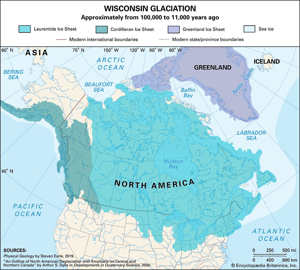
Glaciers have profoundly sculpted the landscape of Greenland, primarily through the action of the massive Greenland Ice Sheet, which covers approximately 80 percent of the island.37
Erosional Impact
The movement of ice has fundamentally altered Greenland’s topography:
- Fjords: As glaciers flow from the interior toward the coast, they carve deep, long fjords into the bedrock. These complex systems reach far into the east and west coasts, creating the island’s characteristic deeply indented coastline.97
- Valley Reshaping: Glaciers transform V-shaped stream valleys into U-shaped valleys by eroding the valley floor and sidewalls. This process is highly efficient because ice, unlike water, maintains contact with a larger portion of the valley’s cross-section.1011
- Highland Features: In mountainous regions, glacial erosion creates sharp, jagged landforms such as arêtes (knife-edge ridges) and horns (sharp peaks), as well as amphitheatre-shaped hollows known as cirques.11
Deposition and Dynamics
- Sedimentation: Glaciers transport and deposit debris, known as till, which can form ridges called moraines at the margins of the ice.1210
- Iceberg Calving: Along the coast, the ice sheet fronts directly on the sea. Large outlet glaciers calve into the ocean, releasing vast numbers of icebergs that are then carried away by currents](https://www.britannica.com/science/iceberg) that are then carried away by currents.37
Sources
- Gunnbjørn Mountain — Encyclopædia Britannica
- Tundra - Climate — Encyclopædia Britannica
- Greenland Ice Sheet — Encyclopædia Britannica
- glacier - Greenland Ice Sheet — Encyclopædia Britannica
- iceberg - Impacts on ice sheets and sea level — Encyclopædia Britannica
- Arctic - Climate of the Arctic — Encyclopædia Britannica
- Greenland - Land — Encyclopædia Britannica
- Erik the Red — Encyclopædia Britannica
- Arctic - Greenland ice sheet — Encyclopædia Britannica
- Quaternary - Landforms — Encyclopædia Britannica
- glacial valley — Encyclopædia Britannica
- glacial landform - Cirques , tarns, U-shaped valleys, arêtes, and horns — Encyclopædia Britannica
- Arctic - Present-day glaciation — Encyclopædia Britannica
- Arctic - Other glacier groups — Encyclopædia Britannica
Published on · 3 min read