Isar River
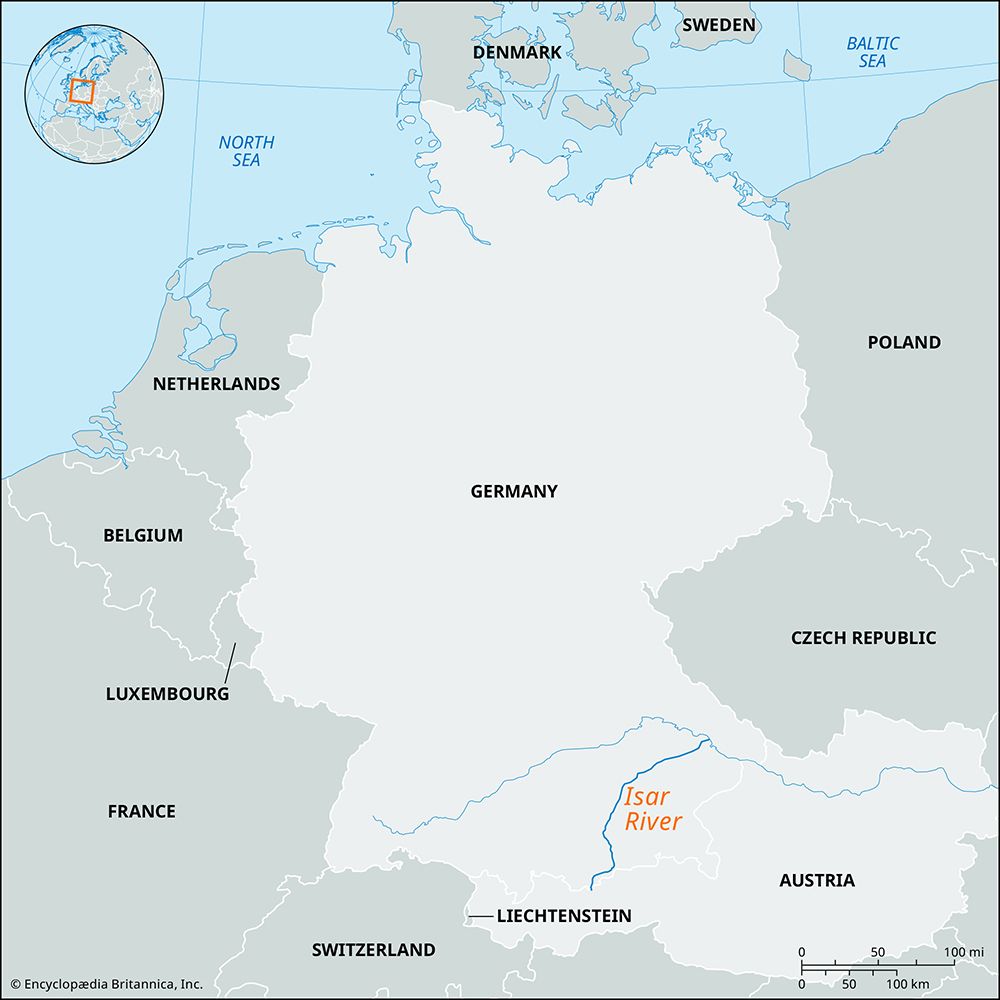
The Isar River is a 183-mile (295-km) long river located in southern Germany and Austria. It originates in the Karwendelgebirge mountains at an elevation of…
What is Isar River?
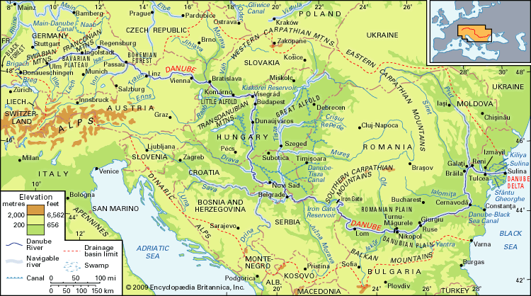
The Isar River is a 183-mile (295-km) long river located in southern Germany and Austria. It originates in the Karwendelgebirge mountains at an elevation of 5,741 feet, northeast of Innsbruck, Austria.1
After crossing into Bavaria through the Scharnitz Pass, the river flows through a historic gorge once known to the Romans as Porta Claudia. It continues northeast, passing through the city of Munich before eventually joining the Danube River downstream from Regensburg. Due to its swift current and shallow depth, the river is generally not navigable. Its primary tributaries include the Loisach, Würm, and Amper rivers.1
What is the significance of the Danube River?
The Danube River is a vital artery for central and southeastern Europe, serving as a critical corridor for political, economic, and cultural development. Flowing 1,770 miles through 10 countries, it has historically acted as both a commercial highway and a strategic boundary between empires.3
Economic Significance
The river is essential to the economies of its bordering nations, facilitating:
- Freight Transport: It serves as a major trade route, with navigation improved by extensive dredging and canal systems, such as the Main–Danube Canal, which connects the Danube to the North Sea.4
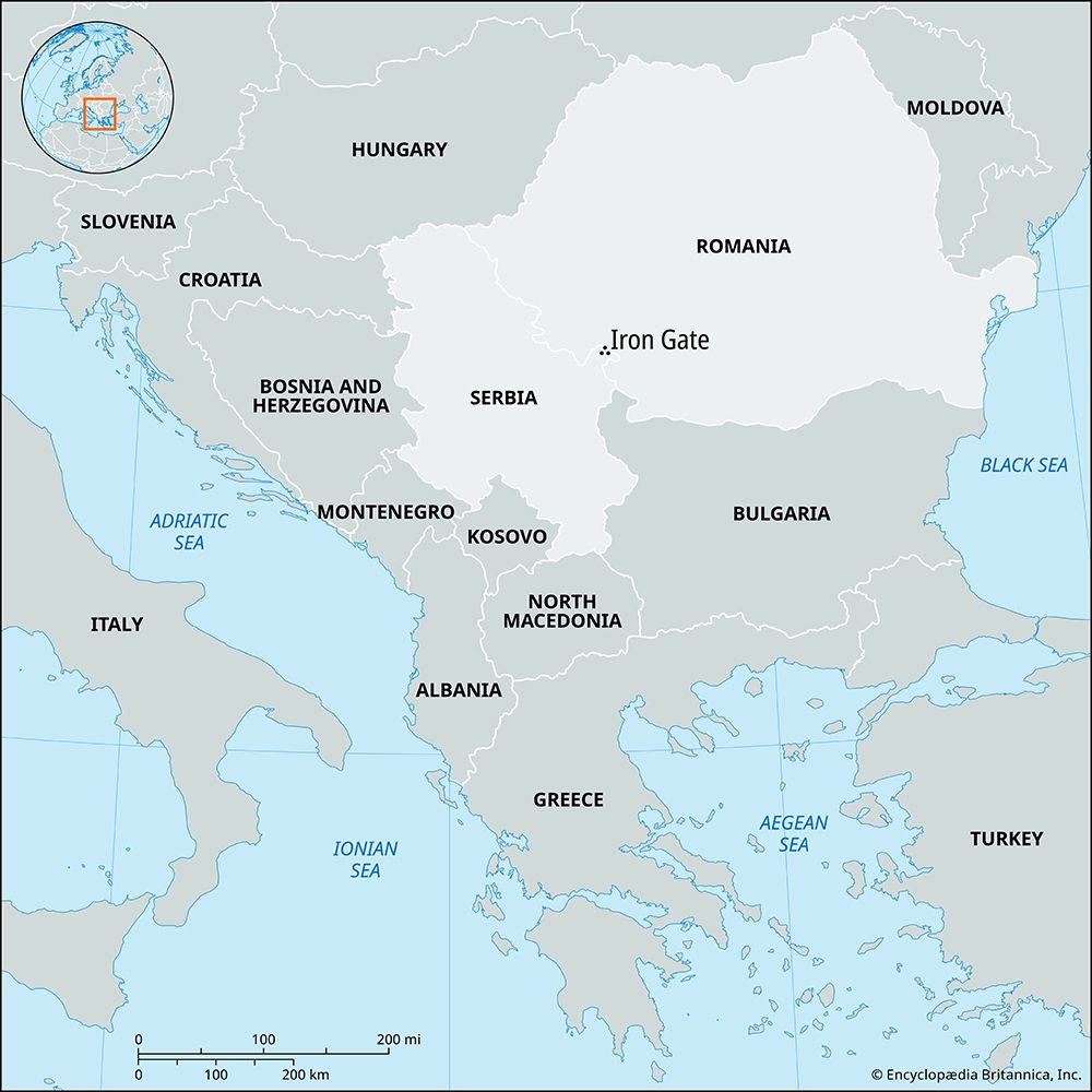
- Energy Production: The river is heavily harnessed for hydroelectric power, most notably through the Iron Gate project notably through the Iron Gate project.34
- Resource Utility: It provides water for industrial, residential, and agricultural needs, though rising pollution levels have increasingly threatened these uses and local fishing grounds4.5
Beyond its utility, the Danube holds deep cultural significance, famously inspiring works like The Blue Danube by Johann Strauss the Younger.3
How do rivers like the Isar shape the landscape of Bavaria?
Rivers like the Isar River act as primary agents of landscape evolution in Bavaria by continuously reshaping the terrain through erosion and sediment deposition.1
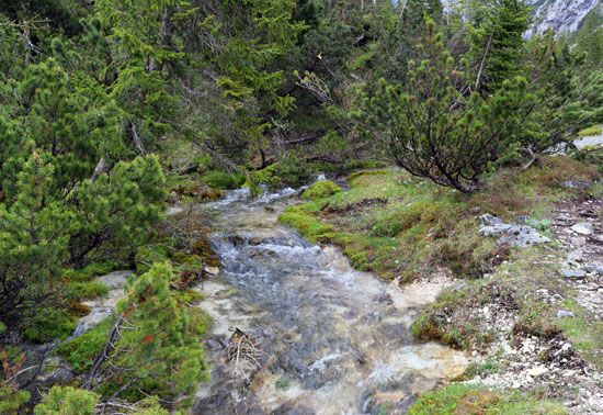
In the mountainous regions, rivers often expend energy in vertical entrenchment, carving deep, narrow gorges—such as the one at the Scharnitz Pass—into the bedrock. As these rivers emerge onto the Bavarian plain, their flow patterns and gradients change, leading them to broaden their valley floors and smooth their longitudinal profiles.67
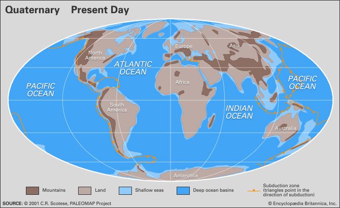
The broader landscape of Bavaria, particularly the Alpine Foreland, has been significantly defined by the interplay between tectonic uplift and river action. Throughout the Quaternary Period, rivers eroded the rising Alpine chains, filling the surrounding furrows with sediment. This process created extensive gravel-covered river terraces and alluvial deposits, which are fundamental to the region’s current surface configuration. Furthermore, the specific pattern of valleys eroded by these streams provides the detailed morphology that influences local hydrology, soil fertility, and agricultural land use across the state.18
What are some other major rivers in Germany?
Germany is home to several major rivers that serve as vital transport arteries and geographical landmarks. Beyond the Danube and the Rhine, key rivers include:
- Elbe River: A major waterway of central Europe, the Elbe flows northwest through Germany to the North Sea. It is essential for navigation, connecting inland cities like Dresden and Magdeburg to the port of Hamburg.1011
- Weser River: Formed by the union of the Fulda and Werra rivers, the Weser flows northward through western Germany. It is a critical transport route for the ports of Bremen and Bremerhaven.1213
- Oder River: This river flows northward through the northeastern part of Germany, forming part of the border with Poland before emptying into the Baltic Sea.10
- Main, Neckar, and Moselle: These are significant tributaries of the Rhine that drain the Central German Uplands and facilitate extensive inland navigation.1014
Sources
- Isar River — Encyclopædia Britannica
- Isar — Merriam-Webster
- Danube River — Encyclopædia Britannica
- Danube River - The economy — Encyclopædia Britannica
- Danube River - Hydrology of Danube River — Encyclopædia Britannica
- river - Valley evolution — Encyclopædia Britannica
- Alps - Geology — Encyclopædia Britannica
- Regnitz River — Encyclopædia Britannica
- Germany - Land of Germany — Encyclopædia Britannica
- Germany - Drainage of Germany — Encyclopædia Britannica
- Elbe River — Encyclopædia Britannica
- Weser River — Encyclopædia Britannica
- Germany - Waterways — Encyclopædia Britannica
- Germany - Seaports — Encyclopædia Britannica
- Werra River — Encyclopædia Britannica
Published on · 3 min read