Lågen
In Norway, the name Lågen refers to two distinct and significant rivers:
What is Lågen?
In Norway, the name Lågen refers to two distinct and significant rivers:
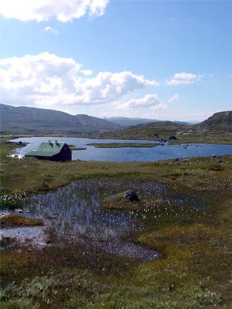
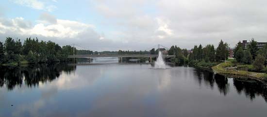
- Southeastern Lågen: Rising in the Hardanger Plateau, this 209-mile-long river flows through the Numedalen valley and past Kongsberg before reaching the Skagerrak at Larvik. It is the third-longest river in Norway and is historically significant for its silver mines and medieval stave churches.1
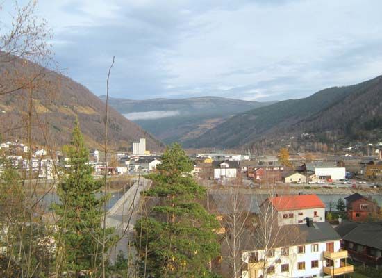
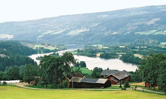
- South-central Lågen: Located in Oppland county, this river flows 122 miles through the Gudbrands Valley to Lake Mjøsa. Upon exiting the lake, it continues as the Vorma River, eventually joining the Glomma River. This region is a vital corridor for road and rail travel between Oslo and Trondheim and features extensive hydroelectric power infrastructure.2
Because the name is used for different waterways, it is helpful to distinguish them by their geographic location or the valleys they traverse.
What are Norwegian stave churches?
Norwegian stave churches are a unique type of medieval wooden architecture characterized by their structural use of vertical posts, or “staves.” Built primarily between the 11th and 14th centuries, these structures represent a sophisticated tradition of timber construction that preceded the widespread adoption of stone churches in northern Europe.56
Key features of these churches include:
- Construction: A foundation of boulders supports a horizontal wooden frame, upon which four corner posts (staves) rest. Unlike common log construction, the outer wall timbers are positioned vertically and joined using wooden pegs or dovetailing.5
- Design: While simple versions consist only of a nave and chancel, larger examples may feature cruciform plans, ambulatories, and multiple tiers of gabled roofs that diminish in size.5
- Artistry: Many churches are adorned with intricate woodcarvings, including grotesque masks, and wall paintings that blend pagan and Christian motifs.5
Approximately 30 of these structures survive in Norway today, with notable examples including the Heddal church and the well-preserved Borgund church. Some continue to serve as active houses of worship.5
How is hydroelectric power generated from rivers?
Hydroelectric power is generated by converting the potential energy of stored or fast-flowing water into mechanical energy and, ultimately, into electricity.89
The process typically involves the following steps:
- Water Collection: Dams are used to impound rivers, creating a reservoir at a higher elevation. This elevation difference between the reservoir and the turbine exit is known as the head.8
- Flow: Water is directed downward through large pipes or tunnels called penstocks. The pressure created by this falling water is essential for the energy conversion process.108
- Turbine Rotation: As the water reaches the bottom of the penstocks, it flows through turbines. The force of the moving water causes the turbine blades to rotate, converting the water’s energy into mechanical energy.1189
- Generation: The rotating turbine drives an electric generator, which produces electricity. Transformers then increase the voltage for efficient long-distance transmission.8
While this process provides a renewable energy source, it is important to acknowledge that dams can significantly disrupt natural ecosystems, including fish migration patterns and local habitats.108
What is the significance of the Hardanger Plateau?
The Hardanger Plateau is a significant geographical feature in southwestern Norway, recognized primarily as the largest peneplain in Europe. Spanning thousands of square miles, this eroded, level plain serves as a vital natural landscape characterized by its high elevation, numerous lakes, and rivers that feed into dramatic waterfalls, such as the Vørings Falls.1213
The plateau holds ecological and cultural importance:
- Biodiversity: It has traditionally served as a critical habitat for a stock of wild reindeer.12
- Conservation: In 1979, a large portion of the area was designated a national park to protect its unique environment.12
- Infrastructure: The region is a key transit corridor, crossed by a major east-west highway and the Oslo-Bergen Railroad, which connect different parts of the country.12
Geologically, the plateau is a remnant of ancient forces that shaped the Norwegian landscape, standing as a testament to the extensive glaciation and erosion that defined the region’s relief.13
Sources
- Lågen — Encyclopædia Britannica
- Lågen — Encyclopædia Britannica
- Gudbrands Valley — Encyclopædia Britannica
- Norway - Drainage — Encyclopædia Britannica
- Stave church — Encyclopædia Britannica
- construction - Construction in timber and brick — Encyclopædia Britannica
- stave church — Merriam-Webster
- Did you know? — Merriam-Webster
- turbine — Encyclopædia Britannica
- hydroelectric power — Encyclopædia Britannica
- potential energy — Encyclopædia Britannica
- Hardanger Plateau — Encyclopædia Britannica
- Norway - Relief — Encyclopædia Britannica
- Hardanger Fjord — Encyclopædia Britannica
Published on · 3 min read