Lake Victoria
Lake Victoria serves as the primary reservoir for the Nile River system. It acts as the first great natural reservoir in the basin, collecting water…
What role does Lake Victoria play in the Nile River system?
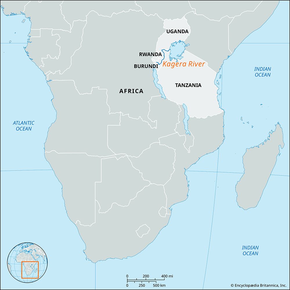
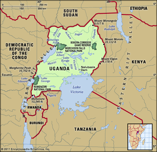
Lake Victoria serves as the primary reservoir for the Nile River system. It acts as the first great natural reservoir in the basin, collecting water primarily from rivers draining into it, most notably the Kagera River. While the lake receives significant rainfall, this input is nearly balanced by surface evaporation, making the inflow from its tributaries the main source of its outflow.12
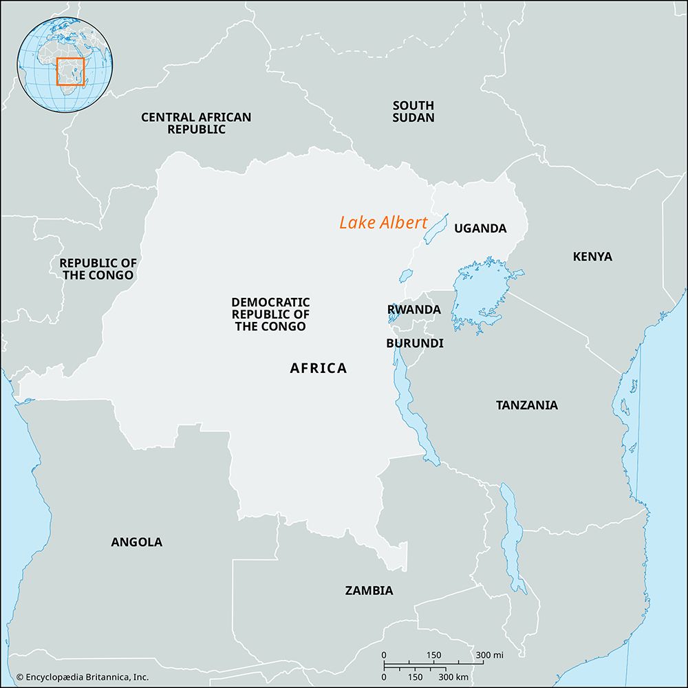
The lake’s water exits via the Victoria Nile, which flows northward toward Lake Kyoga and eventually Lake Albert. In the mid-20th century, the construction of the Nalubaale Dam (formerly Owen Falls Dam) and the subsequent Kiira dam at the lake’s outlet transformed it into a vast, regulated reservoir, enabling large-scale hydroelectric power generation. Together with the East African Lake Plateau system, Lake Victoria contributes a portion of the water that eventually reaches the lower Nile, providing a consistent supply that helps regulate the river’s flow.132
How was Lake Victoria formed, and how old is it?
Lake Victoria was formed approximately 100,000 years ago during the Pleistocene Epoch. Its formation occurred when a rise in the shoulders of the Western Rift caused a reversal in the drainage of several rivers, including the Kagera, Katonga, and Kyoga-Kafu. This geological shift diverted water from the northern section of the rift into a shallow downwarp, creating the lake in its current basin between the Eastern and Western Rift Valleys.41
While the broader East African Rift System underwent significant earth movements throughout the Pleistocene, Lake Victoria is considered geologically recent. Evidence of its historical water levels, including a series of strandlines around its shores, indicates that the lake has experienced various fluctuations in size and depth since its inception.4
What is the geographical location and size of Lake Victoria?
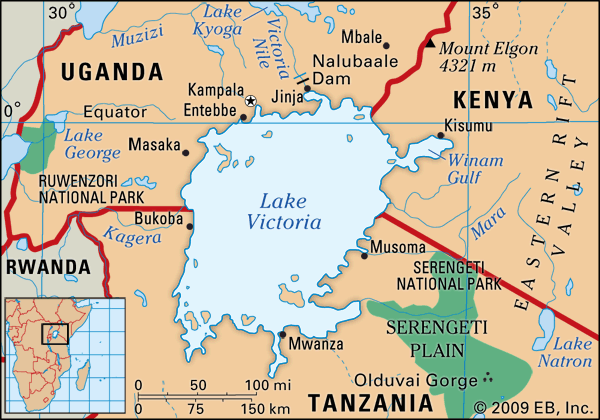
Lake Victoria is located in East Africa, occupying a shallow downwarp on a plateau between the Eastern and Western Rift Valleys. The lake is shared by three countries: Tanzania, Uganda, and Kenya.51
Regarding its size and dimensions, Lake Victoria is the largest lake in Africa and the second-largest freshwater lake in the world by surface area, surpassed only by Lake Superior in North America.51
- Surface Area: 26,828 square miles (69,484 square km)1
- Basin Area: 92,240 square miles (238,900 square km)1
- Maximum Length: 210 miles (337 km) from north to south1
- Maximum Breadth: 150 miles (240 km)1
- Coastline: Exceeds 2,000 miles (3,220 km)1
- Maximum Depth: 270 feet (82 meters)1
- Elevation: 3,720 feet (1,134 meters) above sea level1
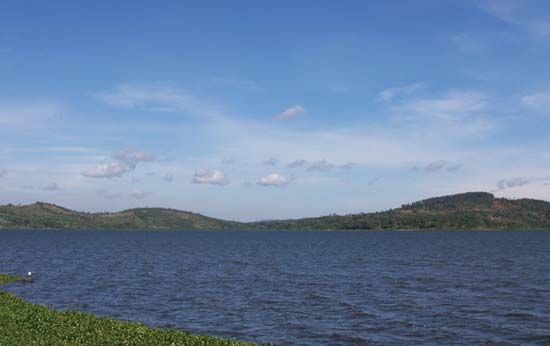
The lake features an irregular quadrilateral shape with deeply indented shores, except along its western coast.1
How does climate change affect Lake Victoria and the surrounding regions?
Lake Victoria and its surrounding regions are highly sensitive to climatic fluctuations, as the lake’s water levels are directly correlated with precipitation patterns and evaporation rates. Because the lake acts as a massive reservoir, it also influences the local climate, particularly along its northern and western margins, where it helps maintain moderate temperatures and consistent annual precipitation.4
The relationship between climate and the lake is characterized by:
- Sensitivity to Fluctuations: Lake levels are perceptibly sensitive to long-term climatic trends. Historical records show significant variations in water levels, with extreme ranges often linked to periods of drought or exceptional rainfall.41
- Hydrological Balance: The lake’s water budget is governed by the balance between inputs (primarily rainfall) and outputs (evaporation and outflow via the Victoria Nile). Because the lake is relatively shallow, it is particularly vulnerable to the effects of drought, which can lead to significant drops in water levels.41
- Regional Climate Regulation: The lake creates a localized climatic zone extending 30 to 50 miles (48 to 80 km) inland, where temperatures are moderated and rainfall is well-distributed throughout the year.4
Sources
- Lake Victoria — Encyclopædia Britannica
- Victoria Nile — Encyclopædia Britannica
- Nile River - Climate and hydrology — Encyclopædia Britannica
- East African lakes - Geology, climate, and hydrology — Encyclopædia Britannica
- East African lakes — Encyclopædia Britannica
- Victoria, Lake — Merriam-Webster
- lake - Water level fluctuations — Encyclopædia Britannica
Published on · 3 min read