Laurentian Trough
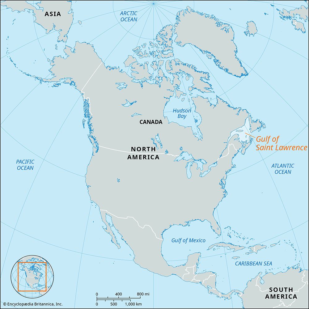
The Laurentian Trough is a massive submarine glacial trough located on the eastern continental shelf of North America. It is considered the most impressive…
What is Laurentian Trough?
The Laurentian Trough is a massive submarine glacial trough located on the eastern continental shelf of North America. It is considered the most impressive feature of its kind on Earth.1
Stretching from the mouth of the St. Lawrence River, the trough runs eastward through the Gulf of St. Lawrence until it reaches the edge of the continental shelf, approximately 190 miles (306 km) south of Newfoundland. It spans a mean width of 50 miles (80 km) and reaches depths of up to 1,700 feet (518 m) below sea level1.
The formation’s topography was significantly shaped by glacial activity during the Pleistocene Epoch. The movement of glaciers caused the Earth’s crust to depress, resulting in the creation of submerged shorelines and silt deposits. The trough’s floor functions as a basin, complete with its own system of tributaries and distributaries.1
How do glaciers shape underwater landscapes?
Glaciers significantly reshape underwater landscapes primarily through erosion and the movement of large ice streams, leaving behind distinct geological features that remain visible even after the ice has retreated.
Erosional Processes
When glaciers flow into the sea, they act as powerful agents of erosion, carving deep, narrow, U-shaped valleys known as fjords. These features are characterized by steep walls and deep basins that extend inland. At the mouth of a fjord, the glacier often leaves behind a “rock threshold”—a shallower area where the floor rises significantly, sometimes covered by only a few meters of water.2
Submerged Troughs
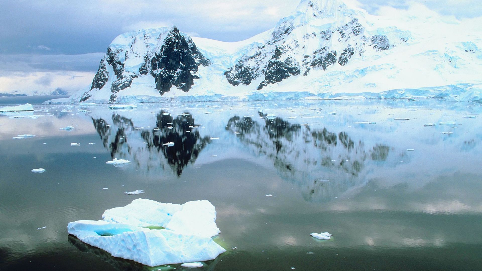
On the continental shelf, large, fast-moving tongues of ice known as ice streams carve out massive, sculpted troughs. These features are ubiquitous near modern ice sheets, such as those in Antarctica. Relict examples of these underwater landscapes include the Laurentian Trough and the Hudson Strait.3
Sedimentation and Deposition
Glaciers also shape the seafloor through the deposition of till and other sediments. Tidewater glaciers, for instance, deposit sediment as a moraine shoal at their terminus. This shoal can influence water depth, which in turn affects the rate of iceberg calving and the stability of the glacier’s position. Additionally, glacial-marine deltas built into the sea provide evidence of postglacial sea-level changes and isostatic rebound, where land rises after the weight of the ice is removed.43
What is the significance of the St. Lawrence River?
The St. Lawrence River is a vital hydrographic system in east-central North America that serves as a critical gateway between the interior of the continent and the Atlantic Ocean. Its significance is defined by its geographic, economic, and historical roles:10
- Economic Hub: As the foundation of the St. Lawrence Seaway, the river facilitates the movement of approximately 140 million metric tons of cargo annually. It is a primary route for transporting bulk commodities, including grain from the North American prairies, iron ore, and coal, supporting industries in both Canada and the United States.111011
- Navigational Gateway: Completed in 1959, the Seaway project opened the industrial and agricultural heartlands of the continent to deep-draft ocean vessels, linking the Great Lakes to global markets.1012
- Energy and Development: The river is a major source of hydroelectric power, with infrastructure developed along its course to support regional needs.13
- Historical Significance: Since the era of early exploration, such as the voyages of Jacques Cartier, the river has been viewed as the essential route for accessing the continental interior. The riverbanks also served as the historical cradle for French-speaking populations in Canada.1213
What defines a continental shelf?
A continental shelf is a broad, relatively shallow submarine terrace of continental crust that forms the edge of a continental landmass. These regions represent a continuation of the continental landmass beneath the ocean margins and account for approximately 8 percent of the total area covered by the world’s oceans.1415
Physical Characteristics
- Depth and Slope: Shelves typically extend from the coast to depths of 100–200 metres (330–660 feet) with a very gentle seaward incline.15
- Boundaries: The seaward edge is marked by the shelf break, an abrupt change in slope where the seafloor transitions into the much steeper continental slope.1516
- Topography: Surfaces often feature a “ridge and swale” topography, consisting of small hills, ridges, and shallow depressions. They are generally covered in sand, silts, and silty muds.1514
- Dimensions: While the average width is roughly 65–75 km, this varies significantly based on the adjacent coastline; shelves are typically narrow off mountainous coasts and broad off plains.1516
Legal Definition
Under the United Nations Convention on the Law of the Sea, the continental shelf is legally considered a continuation of a country’s land territory. Coastal nations hold exclusive rights to resources within this area, which is defined as extending to the outer edge of the continental margin or up to 370 km (200 nautical miles) from shore, whichever is farther, subject to specific distance and depth limits.17
Sources
- Laurentian Trough — Encyclopædia Britannica
- glacial landform - Erosional landforms of continental glaciers — Encyclopædia Britannica
- Quaternary - Landforms — Encyclopædia Britannica
- Pleistocene Epoch - Coastal environments and sea-level changes — Encyclopædia Britannica
- Pleistocene Epoch - Glaciation — Encyclopædia Britannica
- ocean basin - General features — Encyclopædia Britannica
- glacial valley — Encyclopædia Britannica
- glacier - Tidewater glaciers — Encyclopædia Britannica
- paleogeography - Agents of paleogeographic change — Encyclopædia Britannica
- St. Lawrence River — Encyclopædia Britannica
- St. Lawrence River - The economy — Encyclopædia Britannica
- St. Lawrence Seaway - Early navigation — Encyclopædia Britannica
- St. Lawrence River - Physiography — Encyclopædia Britannica
- continental shelf - Structure — Encyclopædia Britannica
- continental shelf — Encyclopædia Britannica
- continental shelf - The Law of the Sea — Encyclopædia Britannica
- ocean - Major subdivisions of the oceans — Encyclopædia Britannica
Published on · 4 min read