Luangwa River
The Luangwa River is a significant waterway in southern Africa that rises near Isoka on the border of Malawi and Zambia. It flows approximately 500 miles…
What is Luangwa River?
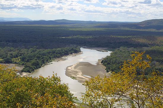
The Luangwa River is a significant waterway in southern Africa that rises near Isoka on the border of Malawi and Zambia. It flows approximately 500 miles (800 km) in a south-southwesterly direction, skirting the Muchinga Mountains before joining the Zambezi River near the border of Mozambique.1
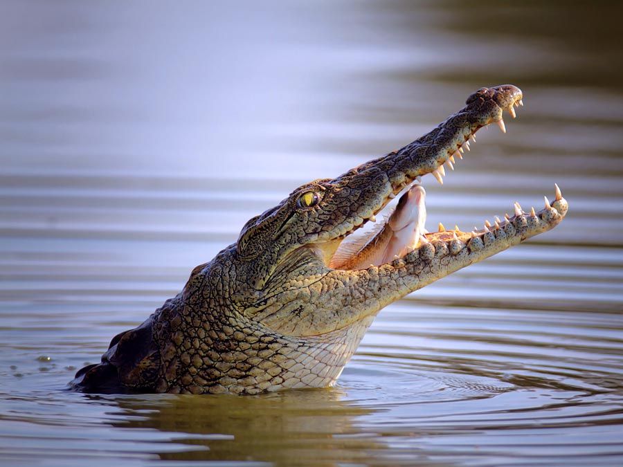
Unlike other major tributaries, the Luangwa is largely confined within a rift trough. Its valley is ecologically vital, hosting several game parks, including the Luangwa National Park, which is renowned for its abundant wildlife, such as elephants, hippopotamuses, and the Nile crocodile. The river’s meandering course has created numerous oxbow pools and alluvial flats that support diverse habitats, ranging from savanna and woodland to riparian forests. Along its lower reaches, the river serves as a portion of the international boundary between Zambia and Mozambique.213
What animals live in the Luangwa Valley?
The Luangwa Valley is home to a remarkably diverse range of wildlife, supported by its varied habitats of savanna, woodland, and floodplain grasslands. The region is particularly noted for its high concentrations of large mammals, though populations have faced significant pressure from poaching and human activity.21
Mammals
The valley hosts a wide variety of species, including:
- Predators: Lions, leopards, cheetahs, wild dogs, and hyenas.2
- Herbivores: Elephants, zebras, giraffes, buffaloes, and hippopotamuses.2
- Antelopes: Kudu, eland, puku, Cookson’s wildebeest, and sable and roan antelopes.2
- Unique Species: The Thornicroft’s giraffe is unique to the Luangwa Valley.1
- Primates: Vervet monkeys and baboons.2
- Others: Black rhinoceroses, which have been severely impacted by illegal trade.21
Reptiles and Birds
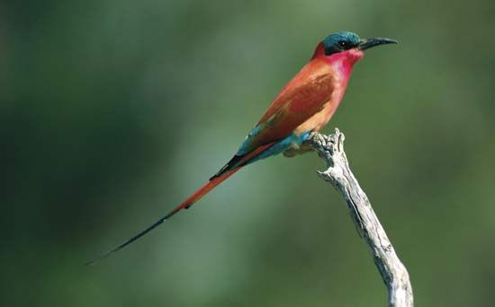
The Luangwa River provides a critical habitat for the Nile crocodile, and the area is also home to various tortoises, terrapins, lizards, and numerous snake species. Birdlife is abundant, featuring storks, geese, cranes, and carmine bee-eaters.21
Protecting these species is an ethical imperative, as the valley serves as a vital sanctuary for biodiversity in southern Africa.1
How do oxbow pools form along a river?
An oxbow lake is a crescent-shaped body of water that forms when a river abandons a meander loop. This process typically occurs through the following stages:
- Development of a Meander: Rivers flowing through alluvial materials naturally form extreme U-bends known as meanders. Over time, these bends can become highly constricted, forming a narrow neck of land between the upstream and downstream arms of the loop.5
- Formation of a Cutoff: Through lateral erosion, the river eventually cuts through this narrow neck, creating a shortcut known as a chute. This allows the water to take a straighter, more efficient path.6
- Isolation: Once the new channel is established, the ends of the old meander loop are rapidly blocked off by silt and sediment deposits, isolating the loop from the main river channel.57
- Evolution: Over time, these lakes often fill with sediment, eventually transforming into marshes or meander scars.85
What is the Zambezi River system?
The Zambezi River is the fourth-largest river basin in Africa, draining an area of more than 500,000 square miles across south-central Africa. Flowing approximately 2,200 miles from the Central African Plateau to the Indian Ocean, the river system traverses or borders six countries: Angola, Zambia, Namibia, Botswana, Zimbabwe, and Mozambique.9
Key Features of the System
- Upper Course: Rising in a marshy bog in Zambia, the river flows through expansive floodplains, such as the Barotse Plain, and is joined by major tributaries like the Kabompo, Lungwebungu, and Kwando rivers.10
- Victoria Falls: Marking the end of the upper course, Victoria Falls is a world-renowned natural wonder formed by the river’s erosion of volcanic rock joints.910
- Middle Course: This section features the massive Lake Kariba and Lake Cahora Bassa, created by major hydroelectric dams. It also receives the Kafue River and the Luangwa River.1011
- Lower Course: After passing through the Lupata Gorge, the river enters the Mozambique Plain, receives the Shire River, and eventually empties into the Indian Ocean through a wide, marshy delta.10
The system is vital for hydroelectric power, though large-scale projects like the Cahora Bassa dam have had significant social and ecological impacts on downstream communities and wetlands.1112
Sources
- Luangwa River — Encyclopædia Britannica
- Luangwa National Park — Encyclopædia Britannica
- Zambia - Drainage — Encyclopædia Britannica
- Zambia - Plant and animal life — Encyclopædia Britannica
- oxbow lake — Encyclopædia Britannica
- meander — Encyclopædia Britannica
- chute, or Cutoff — Encyclopædia Britannica
- oxbow lake — Merriam-Webster
- Zambezi River — Encyclopædia Britannica
- Zambezi River - Physiography — Encyclopædia Britannica
- Zambezi River - Kariba and Cahora Bassa schemes — Encyclopædia Britannica
- Cahora Bassa — Encyclopædia Britannica
Published on · 3 min read