Luangwa National Park
Luangwa National Park, located in northeastern Zambia, is divided into two distinct areas: North Luangwa and South Luangwa.
What are the best times to visit Luangwa National Park, and what activities are available for tourists?
Luangwa National Park, located in northeastern Zambia, is divided into two distinct areas: North Luangwa and South Luangwa.12
Best Time to Visit
The park’s climate is characterized by three seasons. The cool dry season (May to August) and the hot dry season (September to October) are generally the most favorable times for visitors. During the dry months, the lack of rain makes wildlife easier to spot as animals congregate near the Luangwa River and remaining water sources. Conversely, the warm wet season (November to April) brings heavy rains, which can make travel more difficult.31
Tourist Activities
- Wildlife Viewing: The park is home to a vast array of animals, including lions, leopards, elephants, giraffes, and various antelope species.12
- Walking Safaris: North Luangwa is particularly noted for offering true wilderness adventures through walking safaris.2
- Guided Trails: The main camp at Mfuwe serves as a hub for various trails that allow visitors to explore the park’s diverse landscape of savanna, woodland, and floodplain grassland.1
What is the history behind the establishment of Luangwa National Park?
Luangwa National Park, situated in northeastern Zambia, was officially established as a national park in 1972. Prior to this designation, the area functioned as a game reserve.1
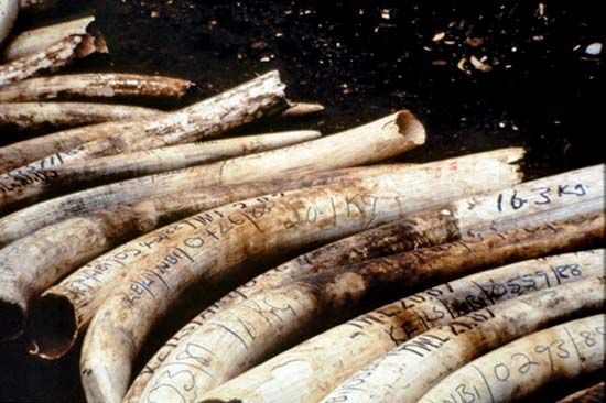
The park encompasses 6,000 square miles (15,540 square km) along the Luangwa River rift valley, a region defined by its alluvial flats and proximity to the Muchinga escarpment. Following its establishment, the park faced significant challenges during the 1970s and 1980s, a period marked by rampant poaching that led to a decline in wildlife populations, particularly affecting elephant and rhinoceros numbers. In response to these threats, dedicated efforts were initiated to revive the park and restore its ecological health. Today, the area is divided into two distinct sections, North Luangwa and South Luangwa, both of which serve as vital protected habitats for a wide variety of African wildlife.13
How does the Luangwa River influence the ecosystem of the national park?
The Luangwa River is the lifeblood of the Luangwa National Park ecosystem, shaping both its physical landscape and its biological diversity. The river has meandered over time, creating a complex environment of dry beds and oxbow pools that are rich in vegetation and nestled between mountain ranges.1
This dynamic water source influences the park in several key ways:
- Habitat Creation: The river supports a variety of vegetation zones, including riparian forests that border floodplain grasslands, savanna, and thickets. These diverse habitats provide essential resources for a wide range of wildlife.1
- Wildlife Concentration: The river serves as a critical water source, particularly during the dry season, drawing large concentrations of animals—such as elephants, hippopotamuses, and various antelope species—to its banks.14
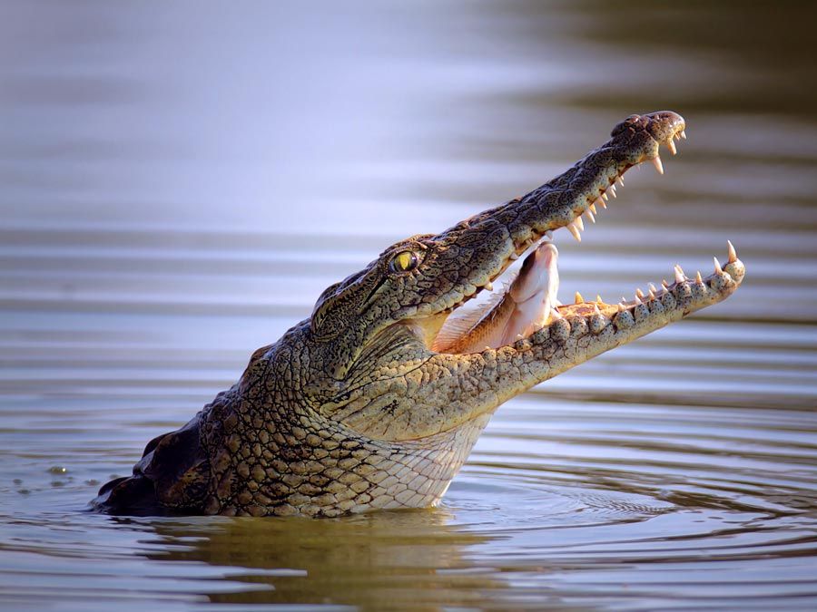
- Aquatic Life: The river itself provides a vital habitat for species like the Nile crocodile.1
- Geological Foundation: The park is situated along the river’s rift valley, which features alluvial flats that contribute to the unique ecological character of the region.1
Where is Luangwa National Park located in Zambia, and what are its main geographical features?
Luangwa National Park is located in northeastern Zambia, covering 6,000 square miles (15,540 square km). The park is divided into two distinct sections, North and South, and is situated along 120 miles (193 km) of the Luangwa River rift valley.1
The park’s geography is defined by several key features:
- Elevation and Terrain: The elevation ranges from approximately 1,600 to 3,600 feet (500 to 1,100 meters). The landscape consists of a wide area of alluvial flats containing Karoo sediments, which are dissected into ridges.1
- Escarpment: The terrain rises gently to the west, reaching about 2,500 feet (765 meters) at the base of the 4,600-foot (1,400-meter) Muchinga escarpment.1
- Hydrology: The meandering Luangwa River has historically shifted course, creating numerous dry beds and oxbow pools nestled between high mountain ranges.1
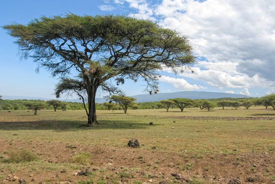
- Vegetation: The area supports diverse plant life, including miombo woodland, savanna, thickets, and floodplain grasslands bordered by riparian forests.1
Sources
- Luangwa National Park — Encyclopædia Britannica
- Zambia - Climate of Zambia — Encyclopædia Britannica
- Zambia - Plant and animal life — Encyclopædia Britannica
- Luangwa River — Encyclopædia Britannica
- Luapula River — Encyclopædia Britannica
Published on · 3 min read