Mount Pinatubo
The 1991 eruption of Mount Pinatubo in the Philippines was one of the most significant volcanic events of the 20th century. Its impact was multifaceted:
What was the significance of Mount Pinatubo’s 1991 eruption?
The 1991 eruption of Mount Pinatubo in the Philippines was one of the most significant volcanic events of the 20th century. Its impact was multifaceted:12
- Climatic Cooling: The eruption injected approximately 17 million tons of sulfur dioxide into the stratosphere, creating a global aerosol layer that reduced solar radiation. This resulted in an average global temperature decrease of about 0.4–0.5 °C (0.7–0.9 °F) between 1992 and 1993.23
- Human and Economic Toll: The event caused widespread devastation, leaving 100,000 people homeless and resulting in hundreds of deaths from the eruption and subsequent disease in evacuation camps. Recurring mudflows caused by heavy rains continued to displace populations and destroy infrastructure for years.12
- Military Impact: The heavy ashfall forced the permanent closure of the U.S.-leased Clark Air Base, which was located near the volcano.12
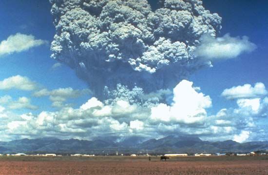
How did the eruption of Mount Pinatubo affect the global climate?
The 1991 eruption of Mount Pinatubo had a measurable impact on the global climate by injecting approximately 17 million tons of sulfur dioxide into the stratosphere.2
This gas reacted to form an aerosol layer composed of tiny sulfuric acid droplets. Because this layer formed above the tropospheric clouds, the particles were not quickly washed away by rain; instead, they circled the globe and reflected incoming solar radiation back into space.245
As a result of this reduced solar energy reaching the surface, the Earth experienced an average global cooling of approximately 0.4–0.5 °C (0.7–0.9 °F) between 1992 and 1993. This stratospheric haze gradually diminished over the following three years as the aerosols settled out of the atmosphere.245
How has the landscape around Mount Pinatubo changed since the 1991 eruption?
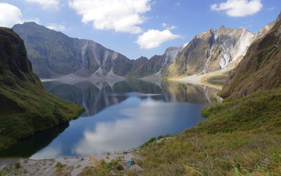
The 1991 eruption of Mount Pinatubo fundamentally transformed the surrounding landscape in several dramatic ways:
- Topographic Alteration: Prior to the eruption, the mountain lacked a classic conical shape, appearing instead as a ragged, jungle-covered ridge. The massive Plinian-type eruption significantly altered the summit and flanks, sterilizing 400 square kilometers (154 square miles) of land with intensely hot pyroclastic flows. These flows filled surrounding valleys with volcanic deposits reaching up to 200 meters (660 feet) in thickness.2
- Persistent Mudflows: The landscape remained unstable for years due to the accumulation of loose volcanic ash. Heavy rainfall, often exacerbated by typhoons, triggered recurring lahars—destructive mudflows that poured down river valleys, burying towns and farmland, and destroying critical infrastructure like roads and bridges.2
- Surface Deposits: The eruption blanketed an area of 7,500 square kilometers (2,900 square miles) with ash and pumice, with depths reaching up to 50 centimeters (20 inches) near the vent area.2
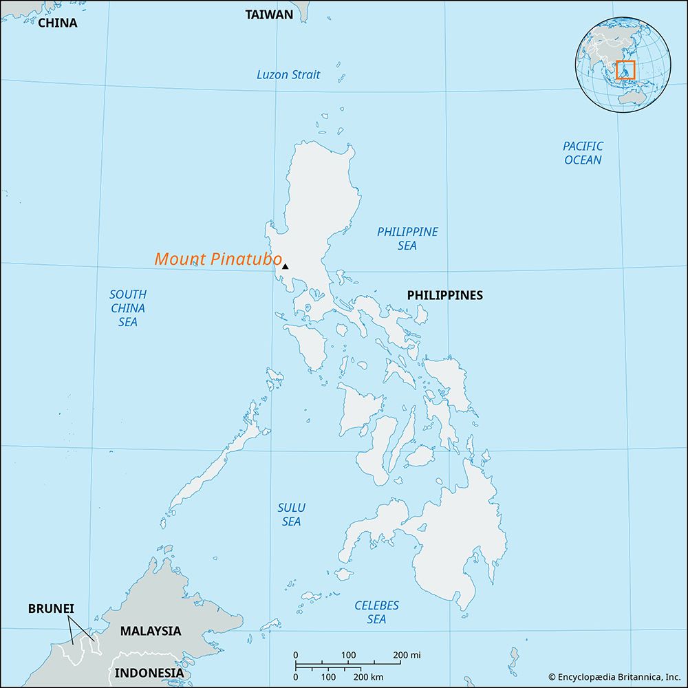
Where is Mount Pinatubo located and what type of volcano is it?
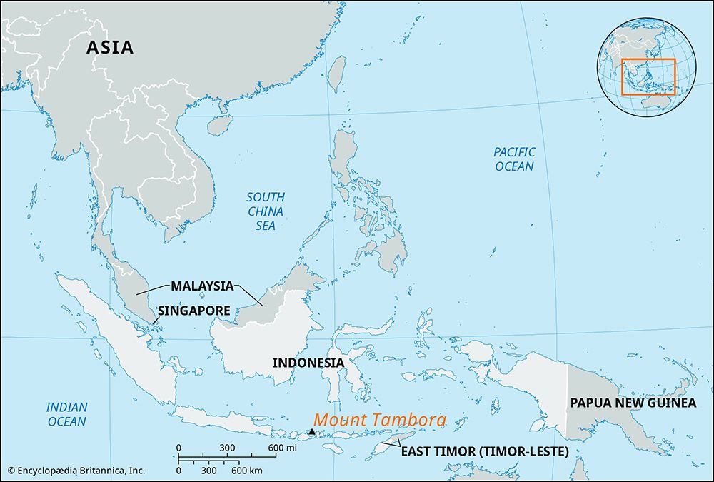
Mount Pinatubo is located in the western part of Luzon in the Philippines, approximately 55 miles (90 km) northwest of Manila90 km) northwest of Manila.1
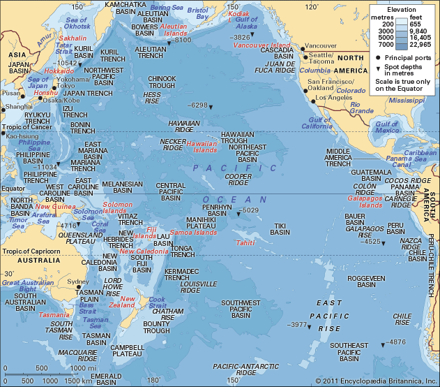
Geologically, it is classified as a stratovolcano, also known as a composite volcano. These landforms are characterized by their steep, conical shapes built up by successive layers of volcanic material, including ash, lava, and pyroclastic debris. Like many other stratovolcanoes, Mount Pinatubo is situated along the Ring of Fire, a seismically active belt surrounding the Pacific Ocean where tectonic plates frequently subduct, generating the magma that fuels such eruptions.12
Sources
- Mount Pinatubo — Encyclopædia Britannica
- volcano - Mount Pinatubo , Philippines, 1991 — Encyclopædia Britannica
- Global warming - Volcanic aerosols — Encyclopædia Britannica
- volcano - Long-term environmental effects — Encyclopædia Britannica
- volcanic winter — Encyclopædia Britannica
- lahar — Encyclopædia Britannica
- Philippines - Relief — Encyclopædia Britannica
- Ring of Fire — Encyclopædia Britannica
- stratovolcano — Encyclopædia Britannica
Published on · 3 min read