Musi River
There are two distinct rivers known as the Musi River:
What is Musi River?
There are two distinct rivers known as the Musi River:
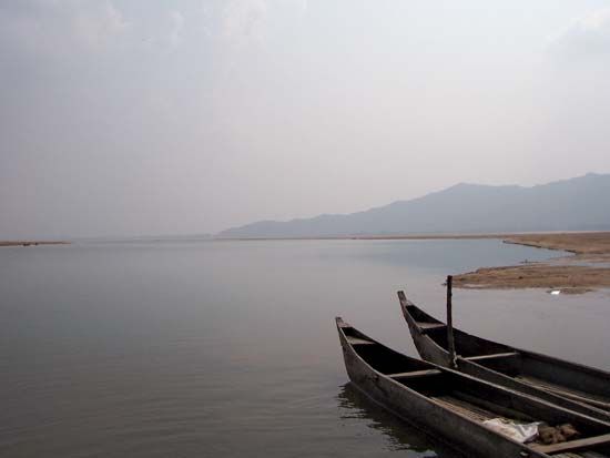
- Musi River (Indonesia): This is the main stream of southern Sumatra, Indonesia. It is approximately 325 miles (525 km) long and drains an area of 24,500 square miles (63,500 square km). Rising in the Barisan Mountains, it flows through the Palembang district and eventually enters the Bangka Strait via a large delta. It is deep enough for ocean vessels downstream from Palembang.1
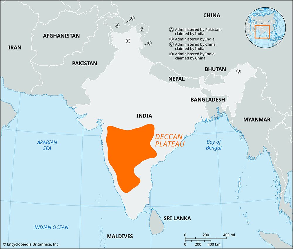
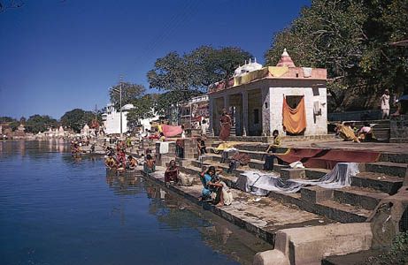
- Musi River (India): This river flows through the heart of the Telangana Plateau in south-central India. The city of Hyderabad was established on its east bank in 1591 by the Qutb Shahi dynasty.2
What is the historical significance of the Charminar in Hyderabad?
The Charminar is a historic monument in Hyderabad, India, that serves as an iconic symbol of the city’s heritage. Built in 1591 by Muhammad Quli Qutb Shah, the fifth ruler of the Qutb Shahi dynasty, it was reportedly the first building constructed in his new capital city.4
Historically, the monument is significant for its association with the end of a devastating plague that afflicted the region as the capital was being moved from Golconda. The structure was designed as a mosque to commemorate the end of this epidemic and served as the centerpiece around which the city of Hyderabad was planned.4
Architecturally, it is considered a supreme achievement of the Qutb Shahi period, showcasing Indo-Saracenic design. Beyond its religious function, the building historically housed a madrasah on its first floor, reflecting its role as a center for Islamic learning.4
How does the geography of the Deccan Plateau influence river systems in India?
The geography of the Deccan Plateau exerts a profound influence on the river systems of peninsular India, primarily through its elevation, slope, and interaction with monsoon weather patterns.
Topography and Drainage
The Deccan Plateau is characterized by a high triangular tableland with an average elevation of approximately 2,000 feet (600 meters). A defining feature of the plateau is its gradual eastward declivity, which dictates the flow of its major river systems—the Mahanadi, Godavari, Krishna, and Kaveri (Cauvery). These rivers originate in the Western Ghats along the plateau’s western edge and traverse the entire width of the peninsula to empty into the Bay of Bengal.567
Monsoon Dependency
The Western Ghats act as the principal watershed for these rivers. By trapping moisture from the Arabian Sea during the southwest monsoon, the mountains create a tropical climate on the western coast while leaving the interior Deccan in a rain shadow. Because the region lacks snowpack, these rivers are entirely dependent on rainfall for their flow. Consequently, they experience significant seasonal variations, with flow volumes fluctuating dramatically between the dry and wet seasons.8697
Navigability and Flow
Due to the plateau’s steep gradients and rocky terrain, these rivers are generally not navigable. Their lower courses are often marked by gorges and rapids as they cross the Eastern Ghats toward the coast. While these characteristics limit navigation, they have allowed for the development of dams to harness water for electric power.78
What are the primary differences between the Musi River in India and the Musi River in Indonesia?
The Musi River in Indonesia and the Musi River in India are distinct geographical features with significant differences in scale, function, and environment.
Musi River, Indonesia
Located in southern Sumatra, this river is a major waterway approximately 325 miles (525 km) long. It serves as a vital transportation artery, with sufficient depth to accommodate ocean-going vessels downstream from the city of Palembang. It drains a vast area of 24,500 square miles and flows through a large delta before entering the Bangka Strait. The river is essential to the regional economy, supporting trade in commodities such as rubber, petroleum, and coal.13
Musi River, India
The Musi River in India is a tributary located in the Deccan region of south-central India. It flows through the heart of the Telangana Plateau and is historically significant for being the site upon which the city of Hyderabad was founded in 1591. Unlike the Indonesian river, which is a major navigable stream, the Indian Musi is a smaller river characterized by the monsoonal climate of the interior plateau, where flow is heavily dependent on seasonal rainfall.10
Sources
- Musi River — Encyclopædia Britannica
- Telangana - Cultural life — Encyclopædia Britannica
- Hyderabad — Encyclopædia Britannica
- Charminar — Encyclopædia Britannica
- India - History of India — Encyclopædia Britannica
- Western Ghats — Encyclopædia Britannica
- Deccan — Encyclopædia Britannica
- climate of India - The southwest monsoon — Encyclopædia Britannica
- India - Peninsular rivers — Encyclopædia Britannica
- Palembang — Encyclopædia Britannica
Published on · 3 min read