Neman River
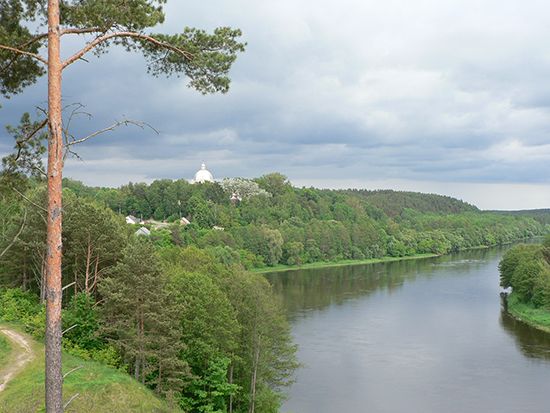
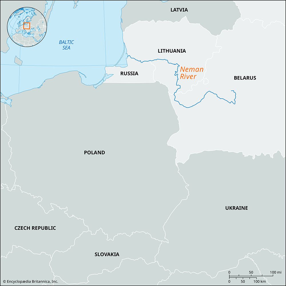
The Neman River is a major waterway in Central Europe, spanning 582 miles (937 km) through Belarus and Lithuania.
What is Neman River?
The Neman River is a major waterway in Central Europe, spanning 582 miles (937 km) through Belarus and Lithuania.12
Rising near Minsk in the Minsk Upland, the river flows west through a broad, swampy basin before turning north into Lithuania. It eventually shifts west near Kaunas—the site of a hydroelectric plant—and flows into the Curonian Lagoon (Kurisches Gulf) of the Baltic Sea near Klaipeda-Sea) near Klaipeda. The river also forms part of the border with the Russian exclave of Kaliningrad.12
Historically known by its German name, Memel, the river is navigable for 416 miles (670 km) up to Belitsa and serves as an important route for timber transport.1
What is the significance of the Baltic Sea to the region?
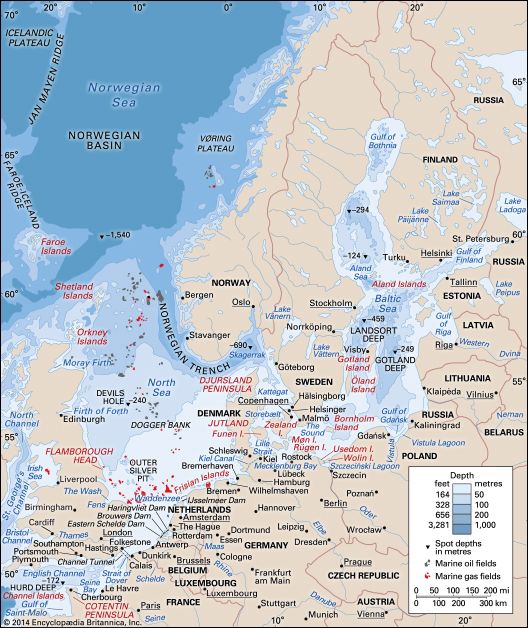
The Baltic Sea is a vital geographic and historical feature of Northern Europe, serving as a strategic meeting point for nine bordering nations. Its significance is defined by its historical role as a trade hub, its unique ecological characteristics, and its ongoing importance to regional industry and tourism.3
Historical and Economic Significance
Historically, the Baltic Sea was the economic heart of the Hanseatic League, a powerful medieval trading network that facilitated the exchange of goods like timber, grain, furs, and salted fish. Control over the sea and its straits was a primary driver of regional power, influencing the expansion of empires such as the Danish and Swedish. While its role as a primary trade highway has evolved, it remains a critical route for bulk cargo, including oil, coal, and consumer goods, supported by modern ferry and shipping infrastructure.435
Ecological and Scientific Importance
As the world’s largest expanse of brackish water, the Baltic is a semienclosed sea with a slow circulation pattern, making it highly vulnerable to pollution. This fragility has spurred intensive scientific research and international cooperation, most notably through the Helsinki Convention, which serves as a landmark agreement for protecting the shared marine environment.53
Modern Regional Role
Today, the Baltic coast is a popular destination for tourism, featuring numerous resort towns and beaches. Additionally, the sea remains a focal point for energy infrastructure, including undersea pipelines, and continues to be a subject of environmental monitoring due to the impact of industrial development and agricultural runoff on its unique flora and fauna.45
How do hydroelectric plants like the one in Kaunas work?
Hydroelectric plants, such as the one located on the Neman River in Kaunas, generate electricity by converting the potential energy of water into mechanical energy and then into electricity.8
The process typically functions as follows:
- Water Collection: A dam is used to impound a river, creating a reservoir that raises the water level to a specific height, known as the head.8
- Flow and Pressure: Water is directed from the reservoir downward through large pipes or tunnels called penstocks. The difference in elevation between the reservoir and the turbine creates the pressure necessary to drive the system.8
- Energy Conversion: As the water reaches the bottom of the penstocks, its force causes turbines to rotate. These turbines are connected to generators, which convert the mechanical rotation into electrical energy.8
- Transmission: Transformers increase the voltage of the generated electricity to make it suitable for long-distance transmission to the power grid.8
While this process provides a renewable energy source, it is important to acknowledge that the construction of dams can have significant environmental consequences, such as disrupting fish migration and altering local ecosystems.98
What are terminal moraines and how are they formed?
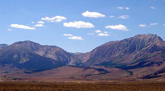
A terminal moraine is a ridgelike accumulation of glacial debris (till) deposited at the outermost edge of a glacier’s maximum extent during a specific period of glaciation.101112
How They Are Formed
Terminal moraines are created through the movement and melting of ice:
- Transportation: As a glacier moves, it acts like a conveyor belt, picking up and transporting rock debris—ranging from fine clay to massive boulders—from the valley walls and floor.1213
- Concentration: This material is carried to the glacier’s snout (the lower end). If the glacier’s margin remains in a constant position for an extended period, debris accumulates at the edge as it melts out of the ice.12
- Bulldozing: If a glacier advances or readvances, it acts as a powerful force, “bulldozing” loose material in front of it. This process piles the debris into a chaotic, ridgelike structure that closely follows the shape of the glacier’s snout.12
- Deposition: The resulting ridge, which may appear as a belt of hilly ground, marks the furthest point the ice reached before retreating.1012
Sources
- Neman River — Encyclopædia Britannica
- Neman — Merriam-Webster
- Baltic Sea - Study and exploration — Encyclopædia Britannica
- Baltic Sea - Economic aspects — Encyclopædia Britannica
- Baltic Sea — Encyclopædia Britannica
- Baltic Sea - Hydrology — Encyclopædia Britannica
- Baltic Sea - Climate — Encyclopædia Britannica
- Did you know? — Merriam-Webster
- hydroelectric power — Encyclopædia Britannica
- moraine — Encyclopædia Britannica
- terminal moraine — Merriam-Webster
- glacial landform - Moraines — Encyclopædia Britannica
- glacial landform - Glacial deposition — Encyclopædia Britannica
- Quaternary - Landforms — Encyclopædia Britannica
Published on · 3 min read