Rakhine Mountains
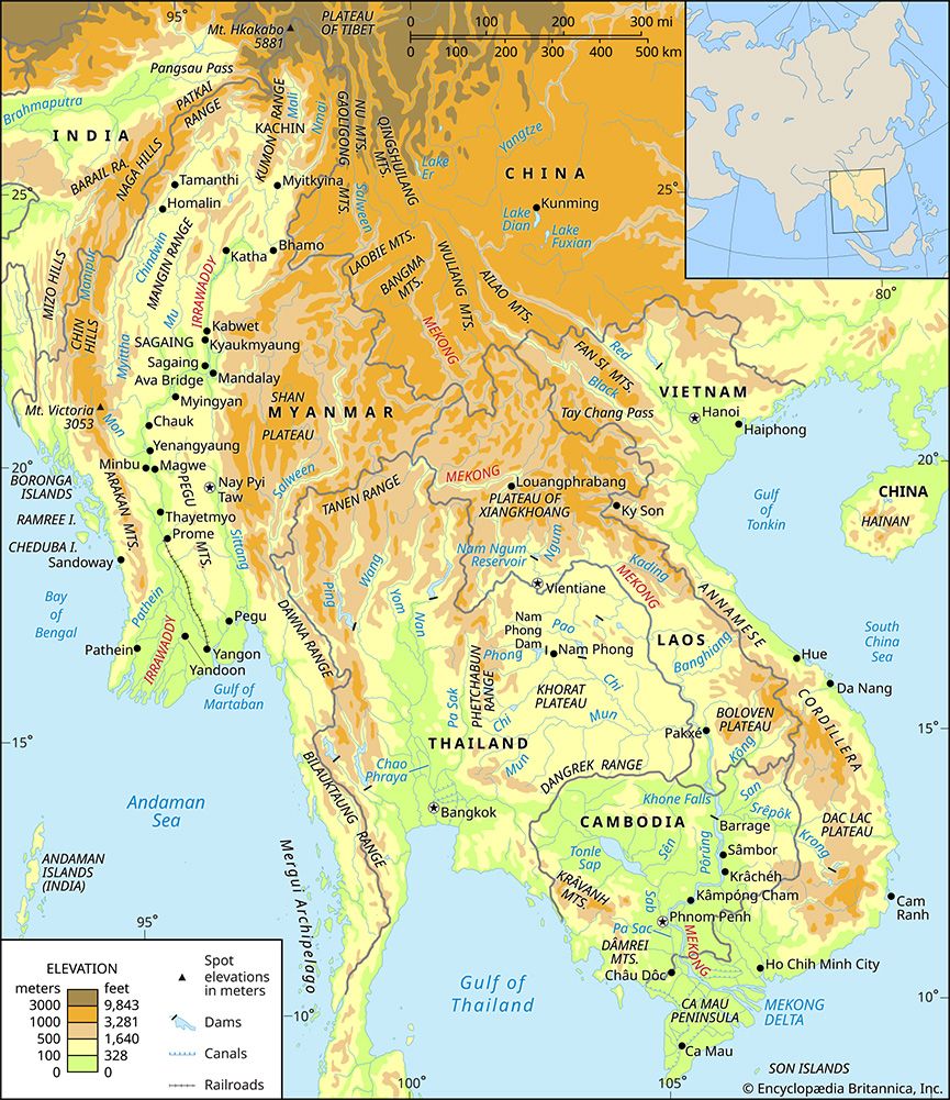
The Rakhine Mountains (also known as the Arakan Mountains) are a mountain arc located in western Myanmar. Stretching approximately 250 miles in length, this…
What is Rakhine Mountains?
The Rakhine Mountains (also known as the Arakan Mountains) are a mountain arc located in western Myanmar. Stretching approximately 250 miles in length, this range serves as a significant geographical and climatic barrier, separating the Rakhine coast from the Irrawaddy River valley and shielding central Myanmar from southwestern monsoon rains.12
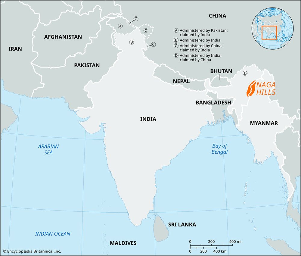
The range is part of a larger mountain system that extends about 600 miles northward toward Manipur, India, encompassing the Naga, Chin, and Mizo hills. The highest point of the Rakhine Mountains is Mount Victoria, which reaches an elevation of 10,150 feet (3,094 meters). Historically, these mountains have acted as a divide between Myanmar and the Indian subcontinent, though they are traversed by specific routes, including an all-weather road connecting Taungup to Pyay.1
How do the Rakhine Mountains affect the climate of central Myanmar?
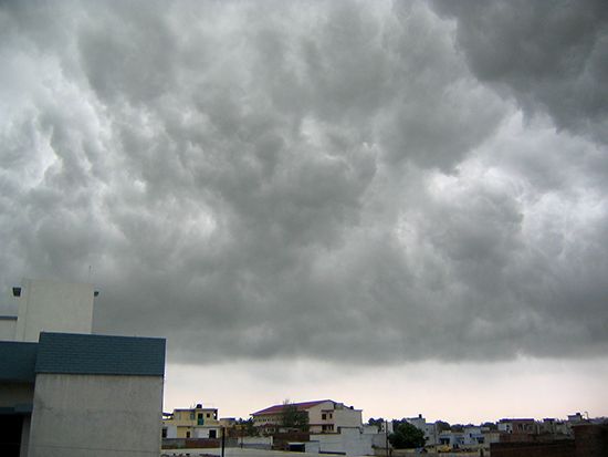
The Rakhine Mountains act as a significant climatic barrier that profoundly influences the weather patterns of central Myanmar. By serving as a physical wall, the range creates a rain shadow effect on its eastern, leeward side.31
As the moisture-laden southwest monsoon winds move inland from the coast, they are forced to rise over the mountains, resulting in heavy precipitation on the western slopes and coastal regions. Consequently, central Myanmar—situated on the drier, lee side of the range—is shielded from these rains. This process contributes to the formation of a “dry zone” in the central basin, where annual precipitation is significantly lower, often ranging between only 20 to 40 inches (500 to 1,000 mm) per year.31
Beyond precipitation, the mountains also contribute to the region’s distinct temperature characteristics, as the central basin experiences greater daily temperature ranges compared to the more humid coastal areas.3
What is the significance of Mount Victoria in the Rakhine range?
Mount Victoria is the highest point of the Rakhine Mountains, reaching an elevation of 10,150 feet (3,094 meters). Its significance lies primarily in its status as the peak of this major mountain arc, which serves as a critical geographical and climatic barrier in western Myanmar.1
By anchoring the highest reaches of the range, Mount Victoria contributes to the physical structure that separates the Rakhine coast from the Irrawaddy River valley. This mountain system, of which Mount Victoria is the apex, has historically functioned as a divide between Myanmar and the Indian subcontinent, while also playing a vital role in shielding central Myanmar from the heavy rainfall of the southwestern monsoon.1
How do the western mountain ranges of Myanmar connect to the Andaman and Nicobar Islands?
The western mountain ranges of Myanmar, specifically the Rakhine Mountains, are geologically connected to the Andaman and Nicobar Islands as part of a vast, continuous island arc.1
The Andaman and Nicobar Islands are essentially the above-sea extensions of submarine ridges that originate from the Rakhine Mountains and the Patkai Range to the north. This submerged mountain chain stretches southward for approximately 620 miles (1,000 km) from Myanmar toward the island of Sumatra, Indonesia. Myanmar toward the island of Sumatra, Indonesia.17
This arc serves as a significant geological boundary, separating the Bay of Bengal to the west from the Andaman Sea to the east. The formation of this region is a result of complex tectonic processes, where the islands represent the peaks of a ridge system that continues southward into the Mentawai Ridge, which forms the Mentawai Islands of Indonesia.55
Sources
- Rakhine Mountains — Encyclopædia Britannica
- Myanmar - Relief — Encyclopædia Britannica
- Myanmar - Climate of Myanmar — Encyclopædia Britannica
- Irrawaddy River - Climate — Encyclopædia Britannica
- Andaman and Nicobar Islands - Relief and drainage — Encyclopædia Britannica
- plate tectonics - Mountains by subduction — Encyclopædia Britannica
- Andaman and Nicobar Islands — Encyclopædia Britannica
- Andaman Sea — Encyclopædia Britannica
- plate tectonics - Mountain building — Encyclopædia Britannica
Published on · 3 min read