Rappahannock River
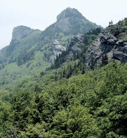
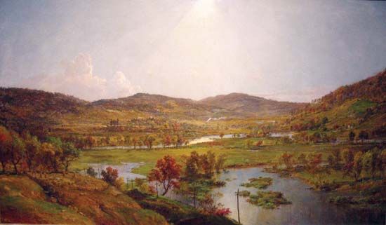
The Rappahannock River is a 212-mile (341 km) waterway located entirely within the U.S. state of Virginia. It originates near Chester Gap in the Blue Ridge…
What is Rappahannock River?
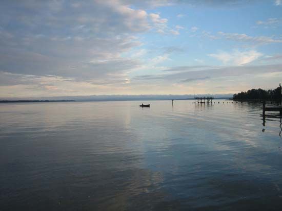
The Rappahannock River is a 212-mile (341 km) waterway located entirely within the U.S. state of Virginia. It originates near Chester Gap in the Blue Ridge Mountains and flows southeast, passing through Fredericksburg—which serves as the head of navigation and tidewater—before emptying into the Chesapeake Bay.1
The river’s name is derived from an Algonquian word meaning “quick rising waters.” Historically, the river is significant for its evidence of early Native American and colonial settlements, as well as its former use for navigation canals and locks. It also served as a major theater for several American Civil War battles, most notably the Battle of Fredericksburg, where Union and Confederate forces clashed along its banks in 1862. Its primary tributary is the Rapidan River.12
What are the main characteristics of the Chesapeake Bay watershed?
The Chesapeake Bay is the largest inlet in the Atlantic Coastal Plain of the United States, formed by the submergence of the lower Susquehanna River and its tributaries.3
Key Characteristics
- Geography: The bay spans 193 miles in length and varies from 3 to 25 miles in width. Its western shore is characterized by long stretches of cliffs, while the eastern shore is predominantly low and marshy.3
- Hydrology: It is fed by numerous rivers, including the James, York, Rappahannock, Potomac, and Patuxent from the west, and the Wicomico, Nanticoke, Choptank, and Chester from the east. The bay provides approximately 3,200 miles of shoreline through its various estuarial tributaries.34
- Environmental Status: Historically a nutrient-rich “protein factory,” the bay has faced significant degradation since the 1970s due to pollution from sewage, industrial waste, and sediment runoff from its surrounding drainage area. These factors have negatively impacted fish and shellfish populations, such as oyster beds.34
- Economic and Human Use: The bay is a vital hub for shipping, supporting major ports like Baltimore and Hampton Roads, and remains a center for commercial fishing, particularly for the blue crab.34
Which Native American tribes originally lived along the Rappahannock River?
The Rappahannock River is historically significant for its evidence of early Native American settlements, which were primarily Algonquian-speaking peoples.1
While the provided search results confirm that the region was inhabited by Algonquian-speaking groups and note that the river’s name itself is of Algonquian origin, the specific names of the individual tribes that resided directly along the Rappahannock are not explicitly detailed in the current Britannica knowledge base provided. At the time of European settlement in Virginia, the broader region was home to peoples belonging to the Algonquian, Iroquoian, and Siouan language families, with the Algonquian-speaking population in the Tidewater region estimated between 14,000 and 22,000.15
How did the geography of the Rappahannock River influence Civil War military strategies?
During the American Civil War, the Rappahannock River served as a critical geographic barrier that dictated military positioning and defensive strategy in Virginia.
In August 1862, Union Maj. Gen. John Pope retreated behind the Rappahannock to defend both Washington, D.C. and the supply line at Aquia Creek. This positioning created a strategic dilemma: the river forced the Union army to cover two distinct lines, making it nearly impossible to protect both simultaneously without leaving one vulnerable. Confederate Gen. Robert E. Lee exploited this by pinning Pope’s forces along a 10-mile stretch of the river between Bealeton and Waterloo, while simultaneously maneuvering to outflank the Union right wing.
The river’s influence extended beyond tactical positioning; its physical state directly impacted operations. When Pope prepared to launch an offensive, a violent storm caused the river to swell, effectively halting all movement and ending the immediate tactical maneuvers in that sector. The river’s role as a natural obstacle remained a recurring theme throughout the conflict, as its crossings were frequently contested during campaigns in the region.16
Sources
- Rappahannock River — Encyclopædia Britannica
- Battle of Fredericksburg — Encyclopædia Britannica
- Chesapeake Bay — Encyclopædia Britannica
- Maryland - Drainage and soils — Encyclopædia Britannica
- Virginia - Population composition — Encyclopædia Britannica
- Second Battle of Bull Run - The Northern Virginia Campaign — Encyclopædia Britannica
Published on · 3 min read