Samar
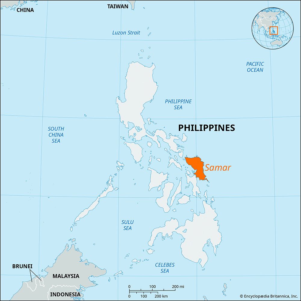
Samar is an island located in the east-central Philippines and is part of the Visayan Islands archipelago. It is situated between the Samar and Philippine…
Where is Samar island located within the Philippines, and what are its main geographical features?
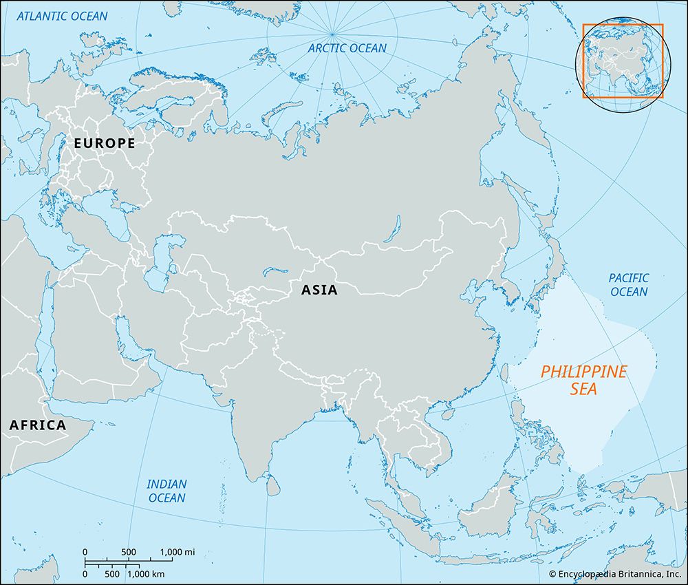
Samar is an island located in the east-central Philippines and is part of the Visayan Islands archipelago. It is situated between the Samar and Philippine seas, separated from the Bicol Peninsula of Luzon to the northwest by the San Bernardino Strait, and connected to Leyte to the southwest via a bridge across the San Juanico Strait.1
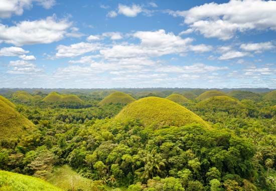
Geographically, Samar is characterized by its hilly terrain rather than high mountains, with elevations typically ranging from 500 to 1,000 feet (150 to 300 metres), reaching a peak at Mount Capotoan (2,776 feet [846 metres]). The island’s lowlands are primarily limited to coastal fringes and small river floodplains. Its river systems are generally short and follow a radial drainage pattern. The island is well-forested, though it is frequently impacted by typhoons.1
What is the historical significance of Samar island in Philippine history?
Samar holds significant historical importance, particularly regarding its role in 20th-century military history. During the Pacific War, the Battle off Samar, which took place on October 25, 1944, served as a decisive engagement within the larger Battle of Leyte Gulf.1
In more recent history, the island became a focal point for disaster management and humanitarian efforts following the impact of Super Typhoon Haiyan. On November 8, 2013, the storm made its first Philippine landfall at Guiuan, located on the southeastern tip of the island. The event resulted in widespread destruction across the southern portion of Samar and significant loss of life, marking a major event in the contemporary history of the region.1
What are the main economic activities and industries on Samar island?
The economy of Samar is primarily driven by agriculture, forestry, and mining, with most permanent settlements located along the coast.7
Agriculture and Forestry
In the island’s interior, inhabitants practice shifting cultivation, while coastal areas focus on the production of rice and root crops such as sweet potatoes and cassava. Coconuts and abaca serve as the island’s primary cash crops. Additionally, because the island is well-forested, logging and sawmill operations are significant industries, particularly in eastern coastal towns like Dolores, Taft, Borongan, and Oras.7
Mining and Industry
Samar possesses notable mineral wealth, including deposits of coal, phosphate, and chromite. Iron ore is extracted in the southeastern part of the island and shipped from the port of General MacArthur.7
Commercial Centers
Trade is largely conducted via coastal shipping, as the island remains somewhat isolated from major shipping routes. Catbalogan serves as the principal commercial center, while both Catbalogan and Calbayog function as vital western coastal ports and fishing centers.7
How does Samar’s proximity to other islands in the Eastern Visayas region affect its economy and culture?
Samar’s proximity to neighboring islands, particularly Leyte, has played a vital role in shaping its regional integration and cultural identity.
Economic Connectivity
While Samar is historically isolated from major national shipping routes, its economic connection to the broader region was significantly enhanced by the construction of the San Juanico Bridge in 1973. This bridge links Samar directly to Leyte, facilitating land-based trade and movement. Furthermore, Samar is a key component of the Pan-Philippine Highway, a network of roads, bridges, and ferries that integrates the island into a larger transit system connecting Luzon, Leyte, and Mindanao.129
Cultural and Linguistic Ties
The cultural landscape of the region is deeply intertwined with that of its neighbors. The Samar-Leyte people, an ethnolinguistic group, inhabit both Samar and eastern Leyte. They share a common Austronesian language, often referred to as Samar-Leyte, which is considered a dialect of the broader Bisayan language family. This shared linguistic and ethnic heritage underscores the historical and social cohesion between the two islands, transcending the physical separation of the San Juanico Strait.110
Sources
- Samar — Encyclopædia Britannica
- Samar-Leyte — Merriam-Webster
- Samar — Merriam-Webster
- Samarai — Encyclopædia Britannica
- Samoa - Relief and drainage — Encyclopædia Britannica
- Sao Tome and Principe - Climate — Encyclopædia Britannica
- Samoa - Agriculture, forestry, and fishing — Encyclopædia Britannica
- Philippines - Agriculture, forestry, and fishing — Encyclopædia Britannica
- Leyte — Encyclopædia Britannica
- Philippines - Transportation and telecommunications — Encyclopædia Britannica
Published on · 3 min read