Philippine Sea
The Philippine Sea is a biologically rich region of the western North Pacific Ocean, characterized by diverse marine ecosystems supported by its complex…
What types of marine life can be found in the Philippine Sea?
The Philippine Sea is a biologically rich region of the western North Pacific Ocean, characterized by diverse marine ecosystems supported by its complex underwater topography, including trenches, ridges, and seamounts capped with coral.1
The region is part of the Coral Triangle, a global center of marine biodiversity. Key marine life found in these waters includes:
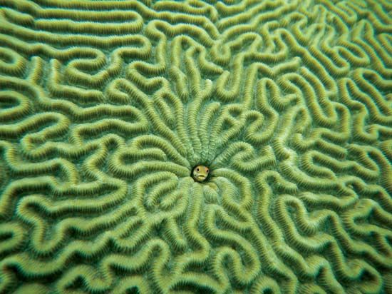
- Corals: The area hosts approximately three-quarters of the world’s coral species, including about 600 species of reef-building corals.2
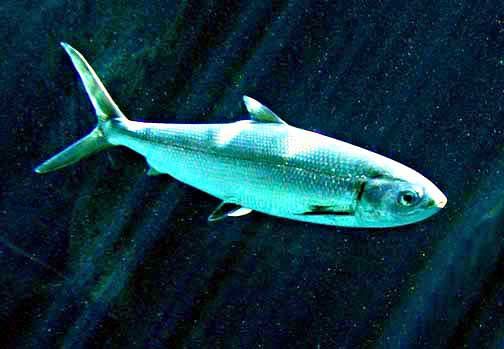
- Fish: The seas surrounding the Philippines are home to more than 2,000 varieties of fish. The broader Coral Triangle region contains over 2,200 species of coral reef fish, with many species endemic to the area. The milkfish is particularly plentiful in these marine waters.32
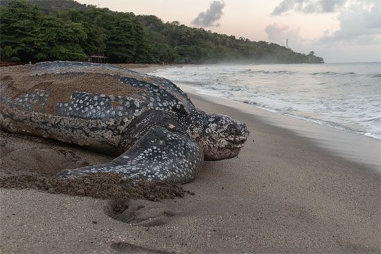
- Reptiles: Several species of marine turtles, such as the leatherback turtle, inhabit the region and are protected. Additionally, the saltwater crocodile is found in these environments.3
Where exactly is the Philippine Sea located in the Pacific Ocean?
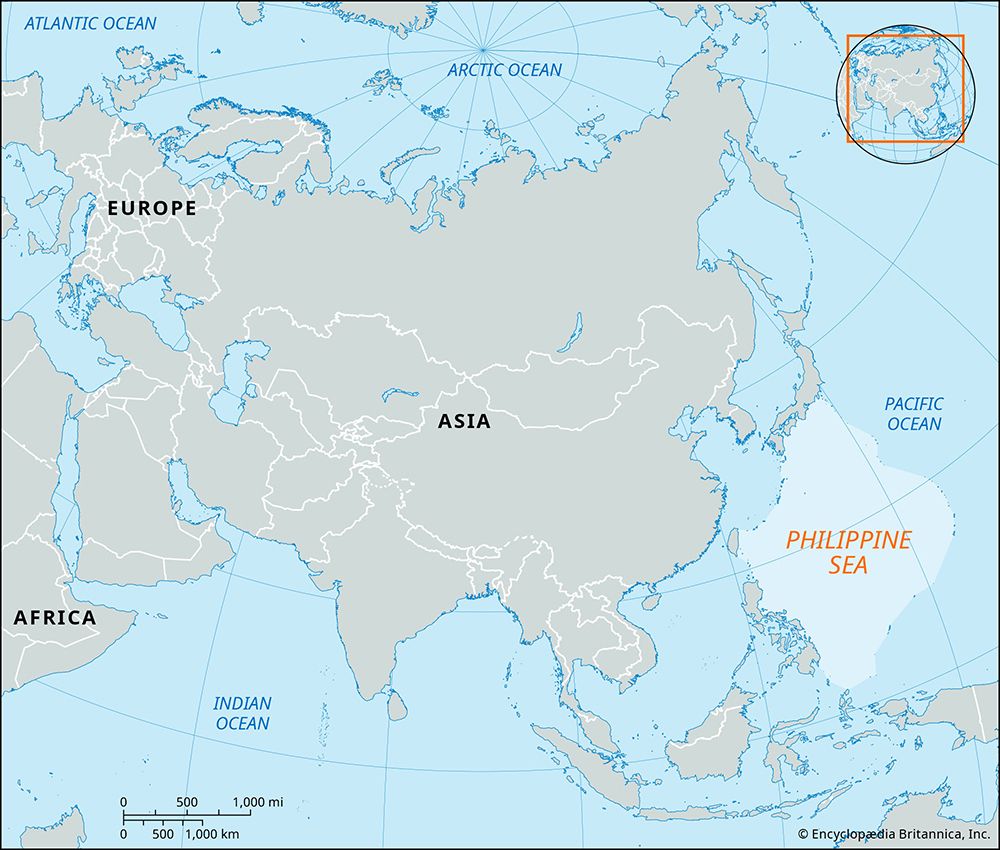
The Philippine Sea is a section of the western North Pacific Ocean situated east and north of the Philippines. It is defined by a series of bordering island arcs that form a structural basin.1
The sea is enclosed by the following regions:
- Southwest: The Philippine islands of Luzon, Samar, and Mindanao.
- Southeast: Palau, Yap, and Ulithi.
- East: The Marianas, including Guam, Saipan, and Tinian.
- Northeast: The Bonin and Volcano islands (Iwo Jima).
- North: The Japanese islands of Honshu, Shikoku, and Kyushu.
- Northwest: The Ryukyu Islands.
- Extreme West: Taiwan.
This basin spans approximately 1,800 miles north-south and 1,500 miles east-west, covering about 3 percent of the entire Pacific region.1
What role did the Philippine Sea play during World War II?
The Philippine Sea served as a critical theater during World War II, most notably as the site of the Battle of the Philippine Sea in June 1944. Often described as the greatest carrier battle of the war, this engagement saw the U.S. Fifth Fleet decisively defeat the Japanese Combined Fleet, resulting in the loss of hundreds of Japanese aircraft and multiple carriers.56
The battle was strategically significant for several reasons:
- Air Superiority: The overwhelming U.S. victory highlighted the disparity in pilot training and aircraft quality, as Japanese forces suffered from inadequate armor and a lack of self-sealing fuel tanks.56
- Strategic Control: The defeat crippled Japanese naval power and facilitated the U.S. occupation of the Mariana Islands, which provided essential bases for B-29 bombers to strike the Japanese mainland.6
- Intelligence: U.S. submarines played a vital, though often understated, role by providing intelligence on enemy movements and sinking Japanese vessels.5
Later in 1944, the region remained a focal point during the Battle of Leyte Gulf, which further reduced the Japanese Navy to vestigial strength and cleared the path for the liberation of the Philippines.78
What are the main geographical features of the Philippine Sea?
The Philippine Sea is a structural basin in the western North Pacific Ocean, defined by a series of geologic folds and faults that manifest as bordering island arcs. Its primary geographical features include:1
- Boundaries: The sea is enclosed by the Philippine islands (southwest), Palau and the Carolines (southeast), the Marianas (east), the Bonin and Volcano islands (northeast), Japan (north), the Ryukyu Islands (northwest), and Taiwan (extreme west).1
- Basin Floor: The basin has a general depth of 19,700 feet (6,000 meters). It features numerous seamounts, some of which are volcanic; many of these peaks are flat-topped, known as guyots or tablemounts, and are often capped with coral.1
- Trenches: The basin reaches its greatest depths in trenches located to the east of the island arcs. The deepest of these is the Philippine Trench, which reaches a depth of 34,578 feet (10,539 meters).19
- Tectonic Context: The sea is associated with the Philippine Plate, which is part of the Pacific’s “Ring of Fire”. The seafloor in the western portion of the sea developed between 60 and 35 million years ago, while the eastern portion formed via backarc spreading starting 30 million years ago.1011
Sources
- Philippine Sea — Encyclopædia Britannica
- Philippines - Plant and animal life — Encyclopædia Britannica
- Coral Triangle — Encyclopædia Britannica
- Bohol Sea — Encyclopædia Britannica
- Battle of the Philippine Sea — Encyclopædia Britannica
- World War II - The Philippines and Borneo, from September 1944 — Encyclopædia Britannica
- World War II - The central Pacific — Encyclopædia Britannica
- Battle of Leyte Gulf — Encyclopædia Britannica
- Philippine Trench — Encyclopædia Britannica
- Ring of Fire: Top Questions — Encyclopædia Britannica
- ocean basin - Evolution of the ocean basins through plate movements — Encyclopædia Britannica
Published on · 3 min read