Tennessee River
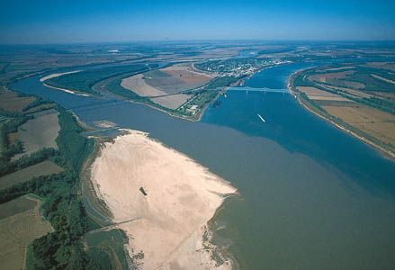
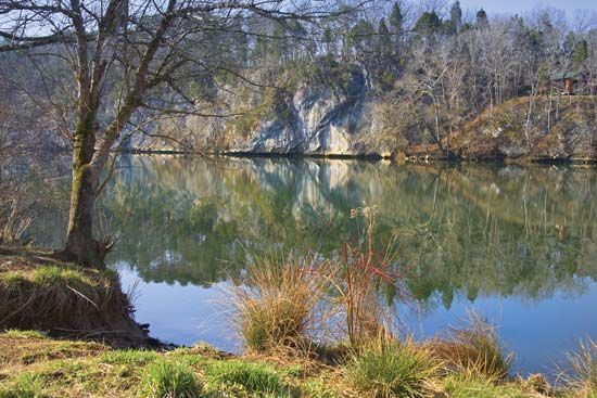
The Tennessee River follows a U-shaped course of 886 miles (1,426 km) before joining the Ohio River at Paducah, Kentucky.
How long is the Tennessee River and what major cities does it pass through?
The Tennessee River follows a U-shaped course of 886 miles (1,426 km) before joining the Ohio River at Paducah, Kentucky.1
The main riparian cities located along the river are:
What are some of the major dams on the Tennessee River and their purposes?
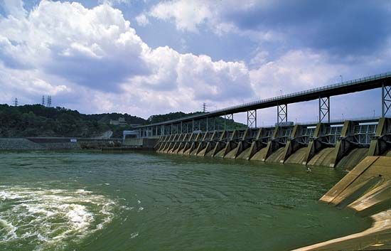
The Tennessee Valley Authority (TVA) manages a series of multipurpose dams along the Tennessee River to provide flood control, improve navigation, and generate hydroelectric power. These dams are operated as a unified system, which has effectively prevented major flood damage and transformed the river into a significant inland waterway.13
Major Mainstream Dams
The following dams are located along the mainstream of the Tennessee River:
Dam
Year Completed
Location
Hales Bar
1913
Tennessee
Wilson
1925
Alabama
Wheeler
1936
Alabama
Pickwick Landing
1938
Tennessee
Guntersville
1939
Alabama
Chickamauga
1940
Tennessee
Watts Bar
1942
Tennessee
Fort Loudoun
1943
Tennessee
Kentucky
1944
Kentucky
Each of these nine main dams is equipped with navigation locks to facilitate river traffic. Beyond these mainstream structures, the broader TVA system includes more than 50 dams across the river’s drainage basin, supporting regional industrial development and providing low-cost electricity.3
How does the Tennessee River contribute to power generation in the region?
The Tennessee River is a central component of one of the world’s most significant hydroelectric power systems, managed by the Tennessee Valley Authority (TVA).34
The river contributes to regional power generation through several key methods:
- Hydroelectric Dams: The TVA operates a system of more than 50 dams that harness the river’s flow to generate electricity. These dams are managed as a unified system to balance power production with flood control and navigation needs.3
- Integrated Power System: Beyond hydroelectric power, the TVA’s broader energy infrastructure includes coal-fired thermal plants and nuclear power plants. These facilities work together to provide a massive generating capacity for the region.3
- Distribution: The TVA acts as a wholesale supplier, contracting with municipalities and cooperatives to distribute electricity. This integrated service area has historically provided some of the lowest electric rates in the United States, which helped spur industrial and economic development in the Tennessee River valley.31
What is the geographical location and course of the Tennessee River?
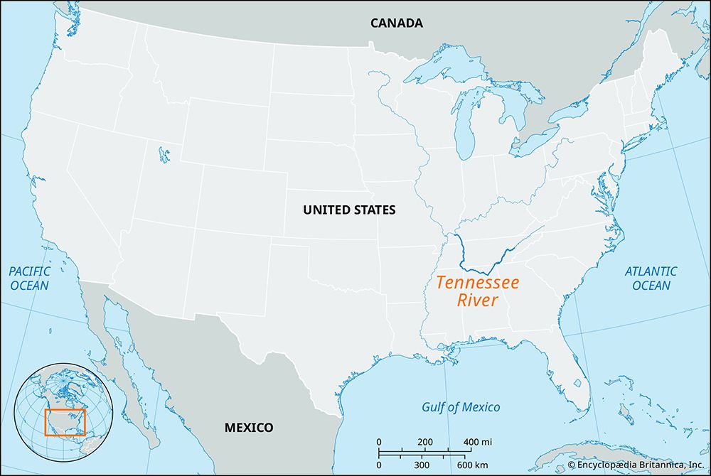
The Tennessee River is a major waterway in the southeastern United States, spanning a U-shaped course of 886 miles (1,426 km) with a drainage basin covering approximately 40,910 square miles (105,960 square km).1
The river originates just east of Knoxville, Tennessee, at the confluence of the Holston and French Broad rivers. From there, its course follows this path:
- South-Southwest: It flows toward Chattanooga, Tennessee.
- West: It cuts through the Cumberland Plateau into northeastern Alabama.
- Northward Bend: It crosses northern Alabama and turns north along the boundary between Alabama and Mississippi.
- Final Stretch: It continues north through Tennessee and Kentucky, ultimately joining the Ohio River at Paducah, Kentucky.1
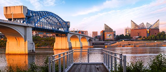
Key riparian cities along its banks include Knoxville and Chattanooga in Tennessee, and Florence in Alabama.1
Sources
- Tennessee River — Encyclopædia Britannica
- Cumberland River — Encyclopædia Britannica
- Tennessee Valley Authority — Encyclopædia Britannica
- Appalachian Mountains - Drainage — Encyclopædia Britannica
- Clinch River — Encyclopædia Britannica
Published on · 3 min read