Cumberland Plateau
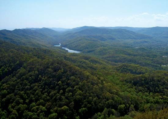
The Cumberland Plateau is the westernmost division of the Appalachian Mountains in the United States. It extends southwestward for approximately 450 miles…
What is the geographical location and extent of the Cumberland Plateau?
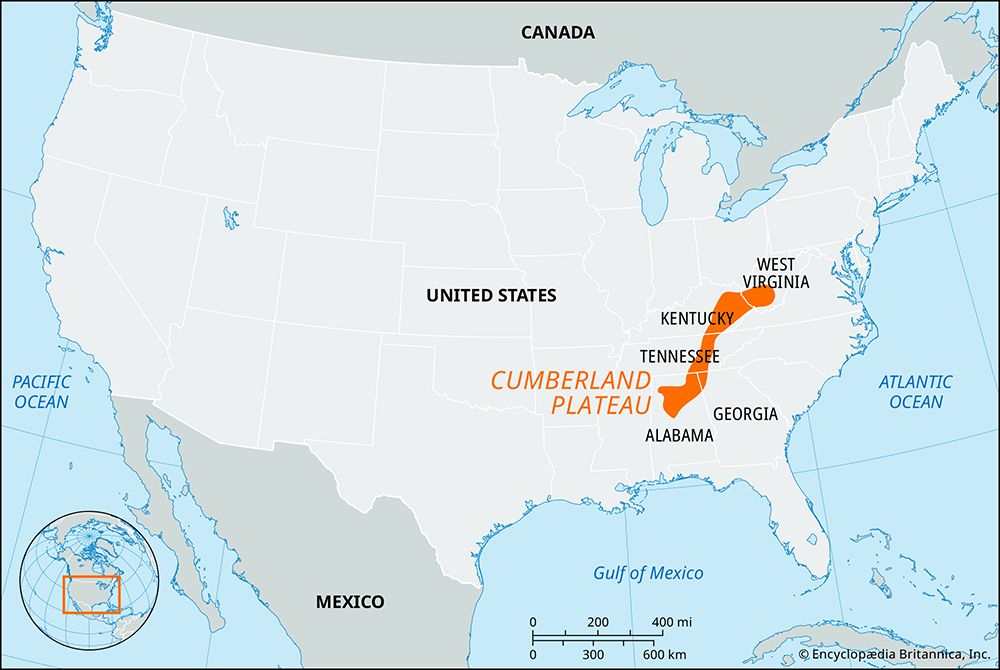
The Cumberland Plateau is the westernmost division of the Appalachian Mountains in the United States. It extends southwestward for approximately 450 miles (725 km), stretching from southern West Virginia through Kentucky and Tennessee to northern Alabama.12
The plateau typically measures 40 to 50 miles (65 to 80 km) in width. Geographically, it is situated between the Ridge and Valley region to the east and rolling plains to the west. To the north, it merges with the Allegheny Plateau, while to the south, it transitions into the Gulf Coastal Plain. The eastern margin of the plateau, particularly in Kentucky and Tennessee, features a narrow, rugged ridge known as the Cumberland Mountains, which contains the region’s highest elevations.1
What are some popular recreational activities and tourist attractions on the Cumberland Plateau?
The Cumberland Plateau offers a variety of recreational activities and historical sites, largely centered around its rugged topography, extensive forests, and water resources.
Historical and Cultural Attractions
- Cumberland Gap National Historical Park: This park preserves the historic mountain pass that served as a vital route for early settlers. Visitors can explore the area where the famous Wilderness Road was blazed by Daniel Boone.13
- Fort Donelson National Military Park: Located in Tennessee, this site commemorates a significant American Civil War battle that opened the Tennessee River to Union forces.4
Outdoor Recreation
- Water-Based Activities: The region features numerous reservoirs and lakes developed by the Tennessee Valley Authority, such as Lake Cumberland. These areas are popular for boating, fishing, and swimming. Cumberland Falls in Kentucky is a notable state park destination.4
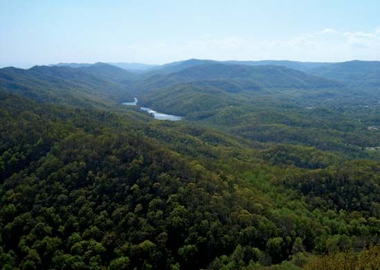
- Forests and Hiking: The plateau is heavily forested, with significant portions located within the Daniel Boone National Forest. These areas provide extensive opportunities for hiking, camping, and exploring scenic landscapes.15
What are some of the significant natural resources found in the Cumberland Plateau region?
The Cumberland Plateau is rich in natural resources that have historically shaped the region’s economy and development. Key resources include:
- Mineral Deposits: The plateau is underlain by extensive deposits of coal, which serves as a primary fuel mineral in the region, particularly within the Cumberland Mountains.17
- Construction Materials: The region provides significant quantities of limestone, which is utilized for cement production, as well as fine-grained sandstones suitable for both construction and decorative purposes. Other extracted materials include clay, barite, and various types of dimension stone, such as marble.17
- Timber: The plateau is heavily covered by hardwood forests, which constitute a major natural resource. These forests are concentrated in protected areas such as the Daniel Boone and Jefferson national forests.1
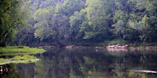
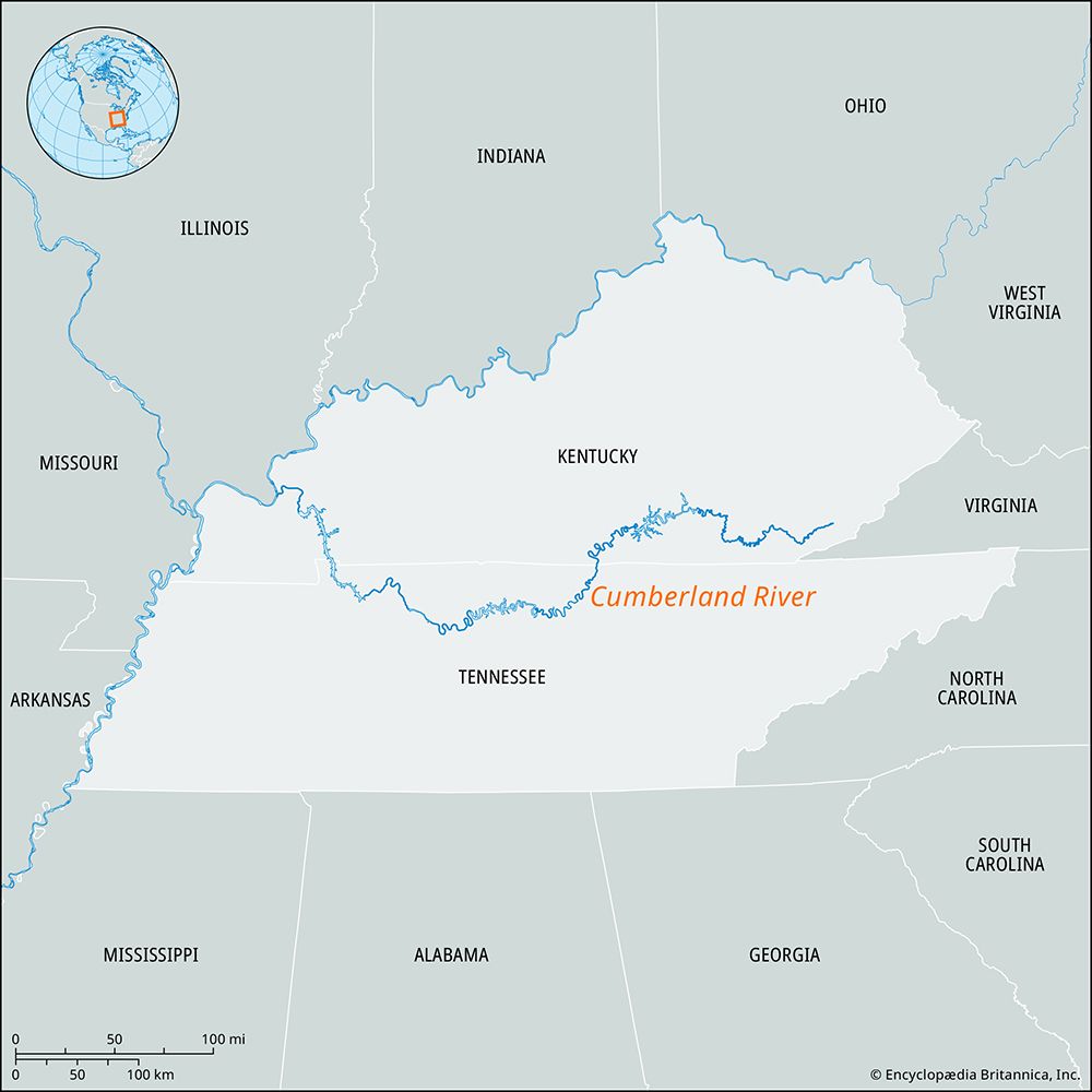
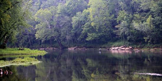
- Water Resources: The region is dissected by numerous rivers and tributaries, including the Cumberland and Kentucky rivers. These waterways, along with the Tennessee River valley, support significant hydroelectric power generation managed by the Tennessee Valley Authority.17
How does the Cumberland Plateau compare to other plateau regions in North America?
The Cumberland Plateau is a distinct division of the broader Appalachian Plateau, which stretches from New York to Alabama. While the Appalachian Plateau encompasses a vast region characterized by nearly horizontal rock layers and extensive coalfields, the Cumberland Plateau specifically represents the westernmost section of the Appalachian Mountains in the southern United States.18
Key comparisons include:
- Geographic Continuity: The Cumberland Plateau merges seamlessly with the Allegheny Plateau to the north, forming a continuous highland feature.1
- Topography: The Cumberland region is noted for its rugged, dissected terrain, particularly in its eastern margin where it forms the Cumberland Mountains. This area contains the highest elevations in Kentucky, contrasting with the more uniform plateau characteristics found in other northern sections of the Appalachian system.1
- Resource Base: Like the wider Appalachian Plateau, the Cumberland region is rich in coal, limestone, and timber. However, the Cumberland Plateau’s specific history is uniquely tied to the Cumberland Gap, which served as a critical gateway for westward expansion.18
Sources
- Cumberland Plateau — Encyclopædia Britannica
- Cumberland Plateau — Merriam-Webster
- Cumberland River — Encyclopædia Britannica
- Tennessee - Sports and recreation — Encyclopædia Britannica
- Cumberland Gap National Historical Park — Encyclopædia Britannica
- Kentucky - Sports and recreation — Encyclopædia Britannica
- Tennessee - Resources and power — Encyclopædia Britannica
- Appalachian Plateau — Encyclopædia Britannica
- Appalachian orogenic belt — Encyclopædia Britannica
Published on · 3 min read