Waiau River
There are two distinct rivers in New Zealand named the Waiau River, both located on the South Island:
What is Waiau River?
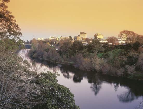
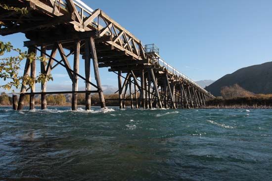
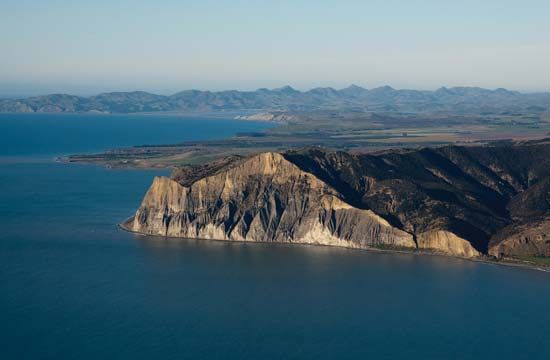
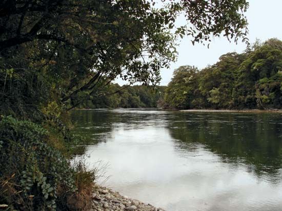
There are two distinct rivers in New Zealand named the Waiau River, both located on the South Island:
- Southwestern Waiau River: This river rises in Lake Manapouri and flows 135 miles (217 km) south through the Southland district to Te Waewae Bay in the Tasman Sea. Its drainage basin includes Lakes Te Anau and Monowai and the Mararoa River. The town of Tuatapere serves as a local center for farming and lumbering, and the river is known for salmon fishing. It was first explored by William Mantell in 1852.1
- Eastern Waiau River: This river originates in the Spenser Mountains and flows 105 miles (169 km) south and east to the Pacific Ocean. Its hilly drainage basin covers 1,270 square miles (3,290 square km) and supports livestock farming in towns such as Waiau and Parnassus. Its tributaries include the Lewis, Doubtful, Hope, Hanmer, and Leader rivers, and its gorges are considered potential sites for hydroelectric power.2
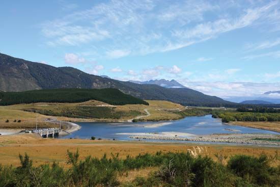
How are hydroelectric power stations used in New Zealand’s rivers?
New Zealand utilizes its mountainous terrain and swift rivers to generate a significant portion of its electricity through hydroelectric power. The country has long relied on this renewable energy source, which is harnessed by funneling water through dams to spin turbines that drive electricity-producing generators.456
To maximize this potential, several strategies are employed:
- Reservoir Utilization: Many natural lakes are used as reservoirs for hydroelectric projects, while artificial lakes, such as Lake Benmore, have been specifically created for power generation.5
- River Development: Major rivers like the Waikato River feature a series of power stations built along their course, which also create artificial lakes used for recreation. Similarly, the Waitaki River hosts one of the nation’s largest hydroelectric developments, consisting of several large dams.78
- Grid Integration: Because hydroelectric potential is concentrated in the South Island, New Zealand uses direct-current submarine cables across the Cook Strait to transmit surplus power to the North Island’s industrial and population centers.4
What makes the geography of the South Island unique?
The geography of the South Island is defined by its complex geologic history and dramatic, mountainous terrain, which occupies nearly three-quarters of the island’s landmass.910
Tectonic and Mountainous Features
The island is bisected by the Southern Alps, a 300-mile-long chain of fold mountains formed by the ongoing collision between the Indian-Australian Plate and the Pacific Plate. This tectonic activity is marked by the Alpine Fault, which divides the landscape into massive blocks. The range includes Aoraki/Mount Cook, the country’s highest peak, and features an extensive system of more than 360 glaciers, such as the Tasman Glacier.910
Regional Contrasts
The island exhibits sharp geographical contrasts:
- West Coast: Characterized by precipitous slopes and a narrow coastal strip known as Westland. In the southwest, the region of Fiordland features spectacular coastal fjords—deep, U-shaped valleys carved by ancient glaciers and inundated by the sea.91011
- East Coast: Home to the Canterbury Plains, which are extensive alluvial plains that contrast significantly with the rugged west.910
- Central Interior: The high central plateau of Otago is notable for its almost continental climate and thin, coarse-textured soils.912
What are some other major rivers in New Zealand?
New Zealand’s landscape is defined by numerous swift, snow-fed rivers that originate in its mountainous regions. Beyond the Waikato River—the country’s longest—and the Clutha River/Mata-Au, which is the swiftest, several other significant rivers shape the geography of the North and South Islands.1368
Notable rivers include:
- Waitaki River: Located in the central South Island, this river is central to one of the nation’s largest hydroelectric power developments.2
- Rangitikei River: A major waterway in the southwestern North Island that flows through a deep gorge before reaching the Manawatu plains.14
- Waiau River: Found in the eastern South Island, this river drains a hilly basin and borders the Canterbury Plains.7
- Other significant rivers: The country also features the Buller River, Clarence River, Hutt River, Manawatu River, Mataura River, Rakaia River, Waimakariri River, and Whanganui River Whanganui River.3
Sources
- Waiau River — Encyclopædia Britannica
- Waiau River — Encyclopædia Britannica
- list of rivers - Oceania (Pacific region) — Encyclopædia Britannica
- Did you know? — Merriam-Webster
- New Zealand - Resources and power — Encyclopædia Britannica
- New Zealand - Drainage — Encyclopædia Britannica
- Waitaki River — Encyclopædia Britannica
- Waikato River — Encyclopædia Britannica
- New Zealand - Relief of New Zealand — Encyclopædia Britannica
- South Island — Encyclopædia Britannica
- New Zealand - Soils of New Zealand — Encyclopædia Britannica
- fjord — Encyclopædia Britannica
- Clutha River/Mata-Au — Encyclopædia Britannica
- Rangitikei River — Encyclopædia Britannica
Published on · 3 min read