Bitterroot Range
The Bitterroot Range is a segment of the northern Rocky Mountains located along the border of Idaho and Montana. Stretching approximately 300 miles (480 km)…
What is Bitterroot Range?
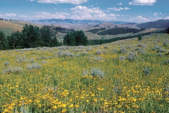
The Bitterroot Range is a segment of the northern Rocky Mountains located along the border of Idaho and Montana. Stretching approximately 300 miles (480 km), the range features peaks that average about 9,000 feet (2,700 meters) in elevation, with Scott Peak in Idaho reaching the highest point at 11,394 feet.12
Due to the rugged, inaccessible nature of the mountains from the east, explorers Meriwether Lewis and William Clark were famously forced to travel over 100 miles north in 1805 before discovering a westward passage through Lolo Pass. The region is characterized by its dense forest coverage, including the Bitterroot National Forest, and serves as a drainage divide for tributaries of the Columbia, Missouri, Clearwater, and Salmon rivers.1
How did the Lewis and Clark expedition navigate the Bitterroot Range?
The Lewis and Clark expedition navigated the Bitterroot Range in 1805 by relying on the assistance of Native Americans. After crossing the Continental Divide at Lemhi Pass, the explorers encountered a Shoshone band led by Cameahwait, who provided them with horses and a guide named Old Toby.1
Due to the extreme inaccessibility of the mountains from the east, the expedition was forced to travel more than 100 miles northward before finding a viable westward route through Lolo Pass. The crossing was physically grueling; the party faced freezing temperatures, wet conditions, and hunger, with William Clark noting his fear that his feet would freeze in his thin moccasins. Upon successfully navigating the range, the expedition emerged onto the Weippe Prairie, where they were befriended by the Nez Percé people, who helped them secure their horses and build canoes for the next leg of their journey.31
What are the main differences between the Bitterroot Range and other parts of the Rocky Mountains?
The Bitterroot Range is a distinct segment of the Northern Rocky Mountains that differs from other sections of the Rockies primarily in its geological formation and physical characteristics.
Geological Formation
The Bitterroot Range, along with other Northern and Canadian Rockies, was created during the Laramide Orogeny (65 to 35 million years ago). These ranges formed when thick sheets of Paleozoic limestones were thrust eastward over Mesozoic rocks, with some sheets moving 20 to 30 miles from their original positions. This process contrasts with the Middle and Southern Rockies, where mountain building was largely driven by compressional folding and high-angle faulting, often involving the upfaulting of granitic cores rather than the extensive low-angle thrust-faulting seen in the north.1
Physical and Regional Differences
- Elevation: While the Bitterroot Range features peaks averaging 9,000 feet, it is generally lower than the Southern Rockies, where many peaks exceed 14,000 feet.21
- Sedimentation: The Northern Rockies formed along the edge of a massive carbonate sedimentation region, whereas the Middle Rockies accumulated significantly smaller quantities of clastic sediments.1
- Accessibility: The Bitterroot Range is noted for its extreme inaccessibility from the east, a feature that famously challenged the Lewis and Clark expedition, forcing them to seek routes far to the north.2
What kind of wildlife lives in the Bitterroot National Forest?
The Bitterroot National Forest, which spans the central portion of the Bitterroot Range along the Idaho-Montana border, supports a diverse array of wildlife characteristic of the Northern Rocky Mountains.
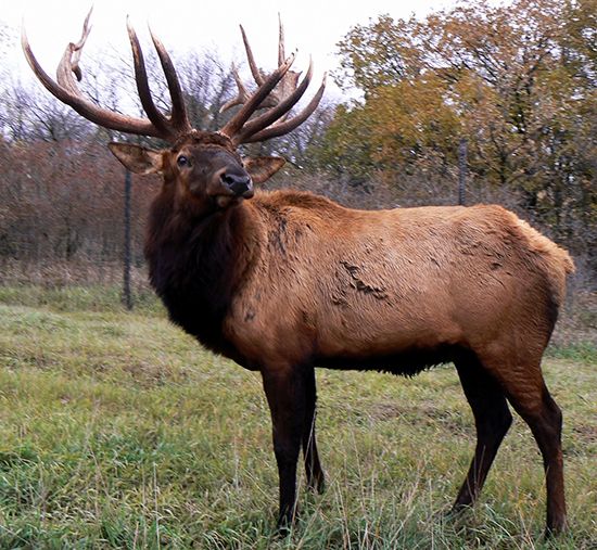
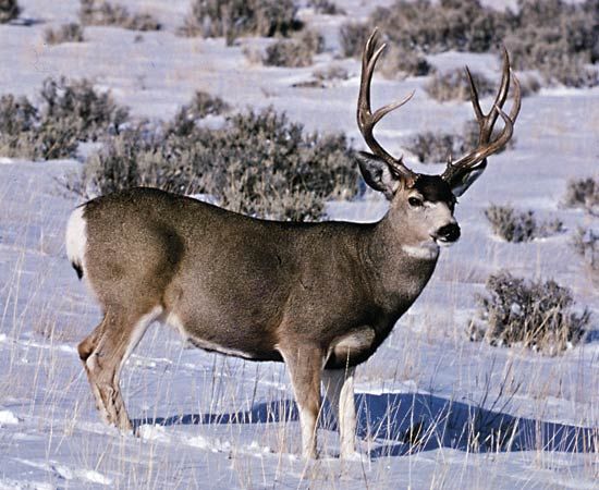
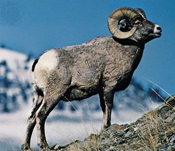
The rugged, forested terrain provides essential habitat for several large mammals, including American elk, mule deer, bighorn sheep, and Rocky Mountain goats. Predators and other notable species found in these mountainous regions include grizzly bears, gray wolves, black bears, mountain lions, moose, and bobcats.55
Additionally, the forest’s streams and lakes support various aquatic species, while the diverse elevational zones—ranging from valley bottoms to alpine tundra—provide niches for numerous birds and smaller mammals, such as forest grouse, beavers, and muskrats. These wilderness areas are part of the largest contiguous wilderness in the conterminous United States, offering critical protection for these endangered species and native wildlife populations.65
Sources
- Bitterroot Range — Encyclopædia Britannica
- Bitterroot Range — Merriam-Webster
- Lewis and Clark Expedition - Expedition from May 14, 1804, to October 16, 1805 — Encyclopædia Britannica
- Rocky Mountains - Physiography — Encyclopædia Britannica
- Montana - Plant and animal life — Encyclopædia Britannica
- Idaho - Plant and animal life — Encyclopædia Britannica
Published on · 3 min read