Dowa Highlands
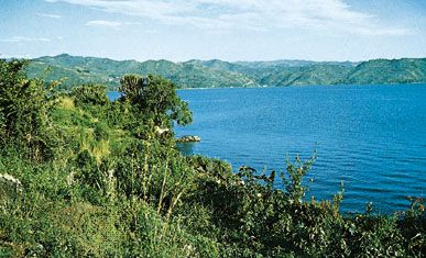
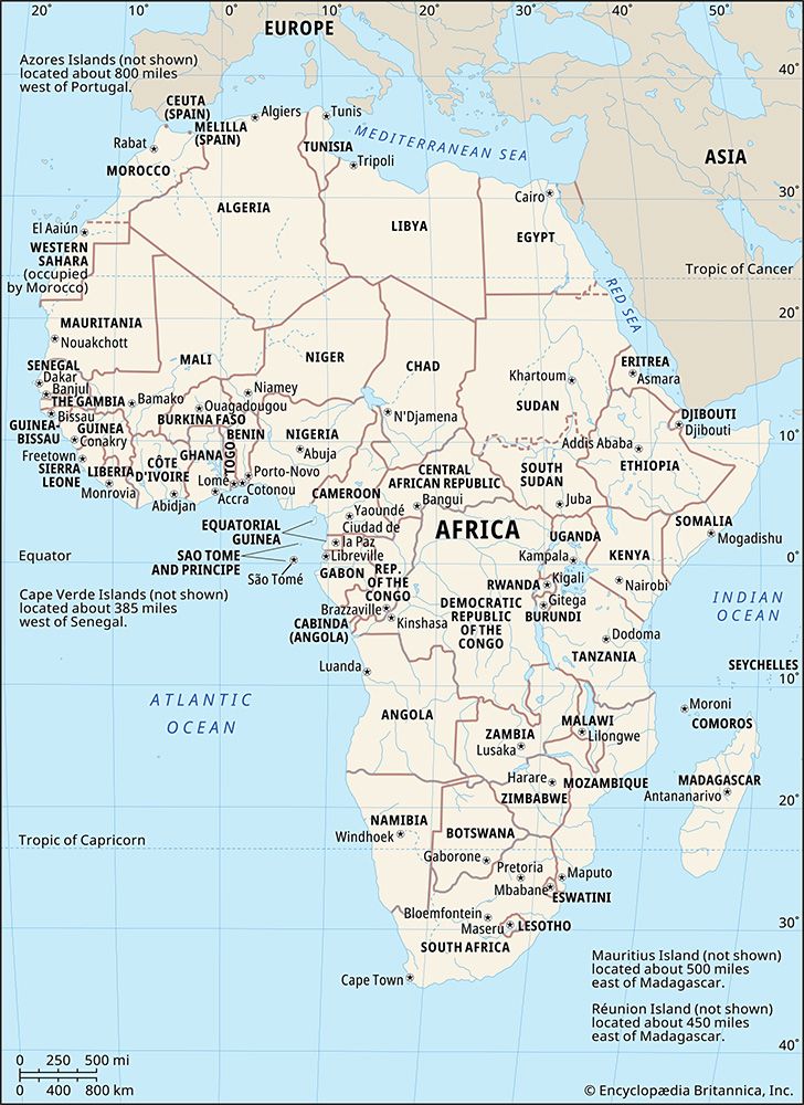
The Dowa Highlands are a rectangular geographical formation located in central Malawi. Covering approximately 360 square miles (930 square kilometers), the…
What is Dowa Highlands?
The Dowa Highlands are a rectangular geographical formation located in central Malawi. Covering approximately 360 square miles (930 square kilometers), the region is characterized by rolling hills and high ridges, most notably the Dowa and Ntchisi peaks, which reach an elevation of 5,571 feet (1,698 meters).1
The area is defined by distinct natural boundaries:
- East: Steep slopes forming part of the Eastern (Great) Rift Valley wall.1
- North and South: Overlooks the Bua and Lilongwe river valleys, respectively.1
- West: A series of hills that transition into the central plains.1
The highlands feature a radial drainage pattern where mountain streams feed into the Lilongwe and Bua rivers, as well as Lake Nyasa. The region is covered in woodland supported by red loam soils.1
What is the Great Rift Valley?
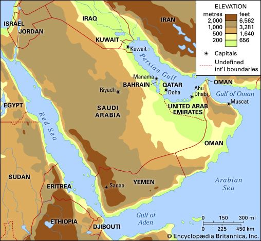
The Great Rift Valley is a major branch of the East African Rift System, which is one of the most extensive rifts on Earth. Often referred to as the Eastern Rift Valley, it is a vast geological feature that extends approximately 4,000 miles (6,400 km) in length and averages 30–40 miles (48–64 km) in width.23
The valley has been forming for about 30 million years as the African and Arabian plates have separated. This tectonic process creates a landscape where a block of the Earth’s crust drops between diverging plates. The region is characterized by:24
- Topography: Adjacent plateaus generally slope upward toward the valley, with drops ranging from 2,000 to 3,000 feet (600 to 900 meters), though some escarpments exceed 9,000 feet (2,700 meters).2
- Volcanism: Extensive volcanic activity has occurred along parts of the rift, producing significant massifs such as Kilimanjaro and Mount Kenya.2
- Hydrology: The valley floor contains numerous lakes, including Lake Turkana, Lake Naivasha, and Lake Magadi2.
How do mountain streams affect the surrounding landscape?
Mountain streams are primary agents in shaping the Earth’s surface, acting as powerful tools that sculpt the landscape through a continuous process of erosion and deposition.6
Sculpting the Terrain
In their initial developmental stages, mountain streams typically expend their energy in vertical downcutting. This process creates narrow, deep valleys and canyons as the water incises into the bedrock. Over time, these streams work toward a “graded condition,” a state of dynamic equilibrium where the energy of the water balances the resistance of the rocks. As the stream matures and approaches its baselevel—the lowest point to which it can erode—it shifts its energy from vertical incision to lateral erosion, progressively broadening the valley floor.789
Depositional Effects
When mountain streams lose velocity, they can no longer transport their full sediment load, leading to the creation of distinct landforms:
- Valley Trains: In mountainous regions, streams often deposit elongate, planar sediments known as valley trains.10
- Terraces: As streams adjust to changing conditions or glacial retreats, they may leave behind flat-topped remnants of older valley floors along the sides, known as terraces.10
- Braided Channels: Streams laden with debris may become choked with sediment, forcing them to break into shifting, winding channels separated by gravel bars.10
What kind of wildlife lives in the woodland of Malawi?
The woodlands of Malawi, particularly the Miombo woodlands, serve as a vital habitat for the country’s large mammal populations. While human activity and deforestation have significantly altered much of the original landscape, these animals are primarily found within protected game reserves.13
Wildlife commonly associated with these woodland and savanna habitats include:
- Antelope
- Buffalo
- Elephants
- Leopards
- Lions
- Rhinoceroses
- Zebras
While these species inhabit the woodland and savanna regions, other areas of Malawi support different wildlife, such as the hippopotamuses found in Lake Malawi and the vast array of endemic fish species that inhabit the country’s lakes and rivers.13
We could dive deeper into the conservation efforts currently in place to protect these species from the threats of deforestation and land degradation.
Sources
- Dowa Highlands — Encyclopædia Britannica
- East African Rift System — Encyclopædia Britannica
- East African lakes - Physiography — Encyclopædia Britannica
- tectonic basins and rift valleys - Rift valleys — Encyclopædia Britannica
- Great Rift Valley — Encyclopædia Britannica
- valley - Geomorphic characteristics — Encyclopædia Britannica
- Earth sciences - Concepts of landform evolution — Encyclopædia Britannica
- glacial landform - Glaciofluvial deposits — Encyclopædia Britannica
- river - Valleys and canyons — Encyclopædia Britannica
- river - Valley evolution — Encyclopædia Britannica
- river - Rivers as agents of landscape evolution — Encyclopædia Britannica
- valley - Drainage patterns — Encyclopædia Britannica
- Malawi - Plant and animal life — Encyclopædia Britannica
Published on · 3 min read