Hatteras Abyssal Plain
The Hatteras Abyssal Plain is a vast, flat submarine region that forms the floor of the northwestern Atlantic Ocean. Situated east of the North American…
What is Hatteras Abyssal Plain?
The Hatteras Abyssal Plain is a vast, flat submarine region that forms the floor of the northwestern Atlantic Ocean1. Situated east of the North American continental shelf, it stretches approximately 900 miles (1,450 km) from north to south between the southern United States and Bermuda, with an average width of 300 miles.1
As an abyssal plain, it is characterized by extreme flatness at depths ranging from 3,000 to 6,000 meters. These plains are primarily formed by the accumulation of land-derived sediment that fills deep-sea depressions, smoothing out underlying irregular topography. This sediment is often transported to the deep ocean floor by turbidity currents—dense, gravity-driven slurries of sand and silt. The Hatteras Abyssal Plain constitutes the western portion of the North American Basin and is separated from neighboring features, such as the Nares Abyssal Plain, by the Vema Abyssal Gap.21
What are turbidity currents and how do they shape the seafloor?
Turbidity currents are transient, underwater density currents composed of sediment-laden water that play a critical role in shaping the seafloor. These currents typically originate when large accumulations of sediment on the continental shelf become unstable due to triggers like earthquakes or underwater landslides.342
Mechanisms of Seafloor Shaping
As these dense slurries flow down the continental slope and through submarine canyons, they act as powerful agents of transport and deposition. Their impact on the seafloor includes:32
- Formation of Submarine Fans: Upon reaching the base of a canyon, the current loses velocity, causing suspended material to settle. Repeated deposition creates submarine fans, which are large, cone-shaped accumulations of sediment.35
- Smoothing Topography: Turbidity currents transport coarse, land-derived sediment into deep-sea depressions. This process fills in irregular, hilly terrain, effectively creating the flat surfaces known as abyssal plains.6
- Creating Turbidites: The deposits left behind, called turbidites, are characterized by distinct layers that often grade from coarse material at the bottom to fine-grained sediment at the top, reflecting the energy levels of the original flow.62
How do scientists map the deep ocean floor?
Scientists map the deep ocean floor using a combination of acoustic technology, satellite measurements, and specialized underwater equipment to overcome the challenges of ocean opacity and depth.7
Acoustic Mapping
The primary tool for seafloor exploration is sonar, which measures the time it takes for an acoustic pulse to travel to the seafloor and back. Modern systems include:
- Multibeam Echo Sounders: Systems like Seabeam use multiple frequencies to determine depth and map seafloor topography.7
- Side-Scanning Sonar: High-frequency pulses are used to measure the texture of the seafloor.7
- Deep Tow Systems: These instruments are towed close to the seafloor to provide high-resolution images of fine-scale features and subbottom structures.7
Satellite Altimetry
Satellites such as Seasat use radar altimeters to measure the shape of the ocean surface. Because massive seafloor features like seamounts exert gravitational attraction, they cause the sea surface to bulge or downwarp. By analyzing these surface variations, scientists can compute gravity maps that reveal uncharted ridges, fracture zones, and other topographic features.78
Visual and Autonomous Tools
For detailed, localized study, researchers use tools like the ANGUS camera sled to create high-resolution photomosaics. Additionally, autonomous underwater vehicles (AUVs) are increasingly used to carry out preprogrammed mapping missions without direct remote control.79
What kind of life forms exist in the deep abyssal plains?
Life forms in the deep abyssal plains exist in an environment characterized by high pressure, total darkness, calm waters, and uniform temperatures between 0° and 4° C (32° and 39° F). Because no sunlight penetrates these depths, the ecosystem relies on organic matter—often called “marine snow”—that drifts down from the upper ocean layers.10211
Characteristics of Abyssal Fauna
Abyssal animals have evolved specific adaptations to survive in this extreme, nutrient-limited environment:
- Physical Adaptations: Many species are gray or black, delicately structured, and unstreamlined. To navigate the soft sediment, mobile forms often have long legs, while attached organisms use stalks to elevate themselves above the seafloor, where oxygen levels may be depleted.10
- Sensory and Biological Traits: Some crustaceans and fish are blind, while others possess bioluminescent organs to glow in the darkness. To withstand the immense hydrostatic pressure, these animals lack air-filled compartments like swim bladders or lungs.101112
- Feeding Strategies: As depth increases, scavengers and mud-feeders become more common than active carnivores. Some organisms sustain themselves through chemoautotrophic bacterial associations, particularly near deep-sea vents.1011
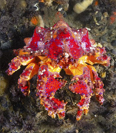
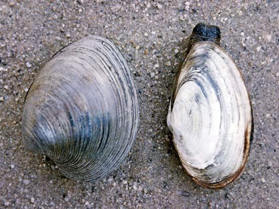
The fauna includes representatives from all major marine invertebrate phyla, such as crabs, clams, and ciliates, alongside various species of fish. These populations are generally sparse and are believed to reproduce very slowly.1011
Sources
- Hatteras Abyssal Plain — Encyclopædia Britannica
- abyssal plain — Encyclopædia Britannica
- turbidity current — Encyclopædia Britannica
- density current - Turbidity currents — Encyclopædia Britannica
- submarine fan — Encyclopædia Britannica
- marine sediment — Encyclopædia Britannica
- ocean basin - Exploration of the ocean basins — Encyclopædia Britannica
- geoid - Radar altimetry of the ocean surface — Encyclopædia Britannica
- autonomous underwater vehicle — Merriam-Webster
- abyssal zone — Encyclopædia Britannica
- Biosphere - Hydrostatic pressure — Encyclopædia Britannica
- Marine ecosystem - Plankton — Encyclopædia Britannica
- Marine ecosystem - Geography, oceanography, and topography — Encyclopædia Britannica
- life - Temperature and desiccation — Encyclopædia Britannica
- terrigenous sediment — Encyclopædia Britannica
- sea ice - Interactions with the oceans , atmosphere , and climate — Encyclopædia Britannica
Published on · 3 min read