Lake Winnipeg
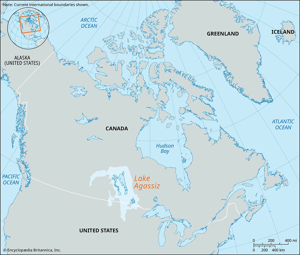
Lake Winnipeg is a significant remnant of Lake Agassiz, a massive ice-margin lake that existed during the Pleistocene Epoch.
How was Lake Winnipeg formed, and what is its geological history?
Lake Winnipeg is a significant remnant of Lake Agassiz, a massive ice-margin lake that existed during the Pleistocene Epoch.12
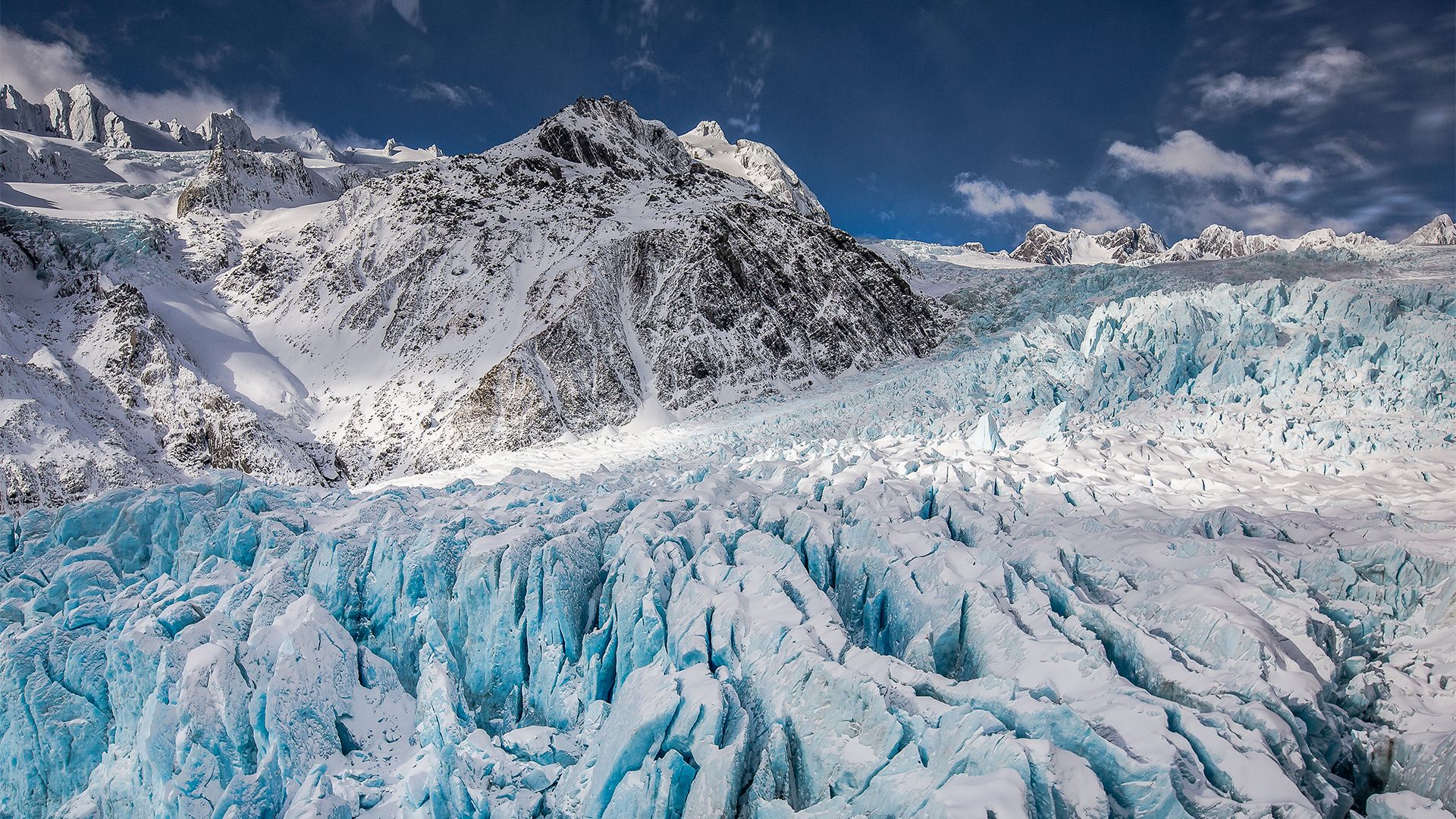
During the final phases of the Wisconsin glacial age, the Laurentide Ice Sheet obstructed the natural drainage of the northern Great Plains toward Hudson Bay. This blockage caused river waters to accumulate, creating the expansive Lake Agassiz. As the ice sheet retreated, a northern drainage channel—now the Nelson River—eventually emptied the massive lake into Hudson Bay.2
This process left behind several smaller basins, including Lake Winnipeg, Lake Winnipegosis, Lake Manitoba, and the Lake of the Woods. Today, Lake Winnipeg sits at the southwestern edge of the Canadian Shield and continues to serve as a vital drainage point for a large portion of the Great Plains.21
What are some of the major islands within Lake Winnipeg?
Lake Winnipeg contains several notable islands, many of which are protected within Hecla Provincial Park. The major islands located within the lake include:
These islands are situated in the south-central region of the lake, which serves as a significant geographical feature at the edge of the Canadian Shield.2
How does Lake Winnipeg compare in size and importance to other large lakes in Canada?
Lake Winnipeg is one of Canada’s largest freshwater lakes, covering an area of 9,416 square miles (24,387 square km). In terms of global size, it ranks as the 12th largest lake in the world, placing it just behind Lake Erie and ahead of Lake Ontario. Within Canada, it is significantly larger than other major regional water bodies, such as Lake Manitoba (1,785 square miles) and Lake Winnipegosis (2,075 square miles).2456
The lake is of vital importance for several reasons:
- Economic Activity: It is a hub for commercial fishing, with operations centered in Gimli.2
- Transportation: The lake serves as an important route for shipping.2
- Recreation: Its southern shores are a major resort area for the nearby city of Winnipeg.2
- Hydrology: It acts as a massive drainage basin for the Great Plains, collecting water from rivers like the Saskatchewan, Red, and Winnipeg before discharging into Hudson Bay via the Nelson River.21
What is the geographic location and size of Lake Winnipeg?
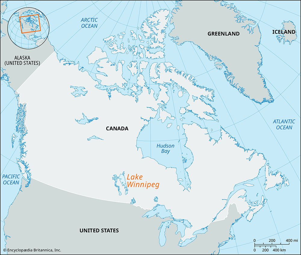
Lake Winnipeg is located in south-central Manitoba, Canada, situated at the southwestern edge of the Canadian Shield. It is a remnant of the prehistoric glacial Lake Agassiz.28
Regarding its dimensions, the lake is quite expansive:
- Length: 264 miles (425 km)2
- Width: Up to 68 miles (109 km)2
- Area: 9,416 square miles (24,387 square km)28
- Altitude: 713 feet (217 meters) above sea level2
- Depth: It has an average depth of approximately 50 feet, with a maximum depth of 713 feet.2
The lake serves as a major drainage basin for the Great Plains, receiving water from the Saskatchewan, Red, and Winnipeg rivers before discharging northeast into Hudson Bay via the Nelson River.28
Sources
- Lake Winnipegosis — Encyclopædia Britannica
- Lake Winnipeg — Encyclopædia Britannica
- Lake Agassiz — Encyclopædia Britannica
- Lake Manitoba — Encyclopædia Britannica
- Areas and Volumes of the Great Lakes — Encyclopædia Britannica
- world’s largest lakes — Encyclopædia Britannica
- Winnipeg River — Encyclopædia Britannica
- Manitoba - Relief, drainage, and soils — Encyclopædia Britannica
Published on · 2 min read