Mount Marapi
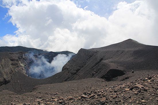
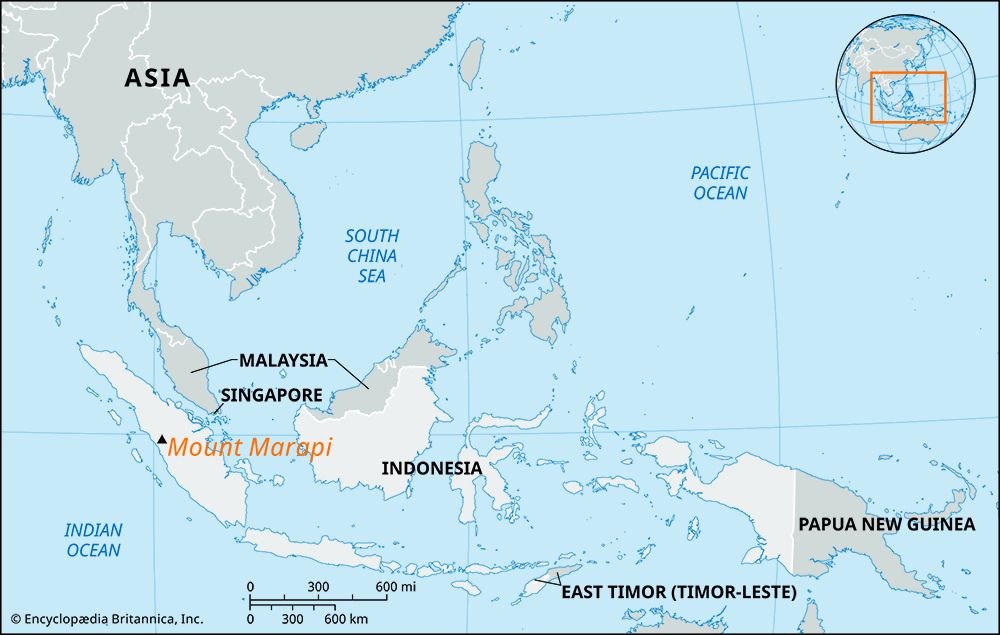
Mount Marapi is an active volcano situated in the Padang Highlands of western Sumatra, Indonesia. It is part of the Ring of Fire, a seismically active belt…
What is Mount Marapi?
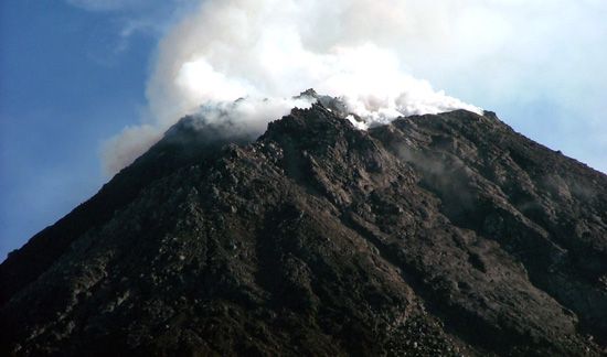
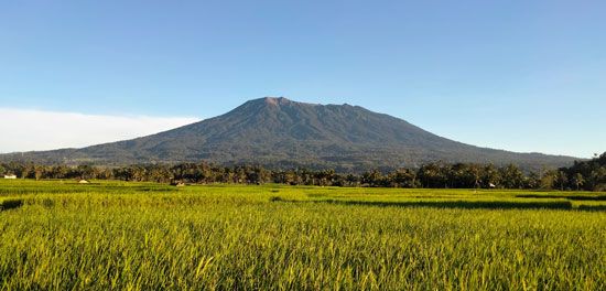
Mount Marapi is an active volcano situated in the Padang Highlands of western Sumatra, Indonesia. It is part of the Ring of Fire, a seismically active belt surrounding the Pacific Ocean. Rising 9,485 feet (2,891 meters) above sea level, its summit features the Bancah caldera and a series of overlapping craters.1
It is important to distinguish this volcano from Mount Merapi, a separate active volcano located on the island of Java.1
Mount Marapi has a documented eruptive history dating back to 1770. Its most tragic event occurred in 1979, when a lahar—a flow of volcanic debris saturated by rain—caused 60 fatalities. More recently, an eruption in December 2023 resulted in the loss of approximately two dozen lives.1
What is the Pacific Ring of Fire?
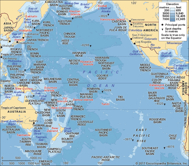
The Ring of Fire is the world’s largest seismically active belt, forming a 40,000-km (24,900-mile) horseshoe-shaped path that fringes the Pacific Ocean basin. It is characterized by a high concentration of volcanoes and earthquake epicenters, accounting for approximately 75 percent of the world’s volcanoes and the vast majority of its strongest seismic events.23
Geological Context
The belt is defined by tectonic plate boundaries where oceanic plates often subduct beneath continental plates. This process generates intense pressure and creates magma in the asthenosphere, fueling volcanic activity. The belt encompasses various regions, including:3
- Island Arcs: Tonga, Vanuatu, the Indonesian archipelago, the Philippines, Japan, the Kuril Islands, and the Aleutians.23
- Continental Features: The western coast of North America and the Andes Mountains.23
While most of the belt is defined by convergent boundaries, some areas, such as parts of the North American coast, feature transform faults where plates slide past one another, primarily producing earthquakes rather than eruptions.3
How do lahars form after a volcanic eruption?
A lahar is a destructive mudflow composed of volcanic material that can range in size from fine ash to massive boulders. These flows form when volcanic debris mixes with water through several geological processes following an eruption:
- Hydrological Interaction: Lahars can be triggered when an eruption melts snow or ice on a volcano, or when crater lakes are emptied onto loose volcanic deposits.
- Precipitation: Heavy rainfall on loose, unconsolidated ash—such as deposits left by nuées ardentes—can saturate the material and initiate a flow.
- Debris Mixing: Lahars may also form simply through the mixing of volcanic debris with existing river water.
- Thermal Effects: A “hot lahar” can occur when lava or volcanic explosions heat the water within a crater lake, causing it to overflow and mobilize surrounding debris.
These flows move downslope at high speeds and can travel for tens of miles, often causing significant destruction to the surrounding landscape.5
What is the difference between a crater and a caldera?
While the terms are sometimes used interchangeably, a crater and a caldera are distinct geological features:
- Crater: A crater is a smaller, bowl-shaped depression typically formed by the explosive ejection of material during a volcanic eruption.
- Caldera: A caldera is a much larger, bowl-shaped volcanic depression, generally exceeding one kilometer in diameter. Rather than being “blown away” by an explosion, a caldera forms when the top of a volcanic cone collapses into the void left after a massive eruption rapidly empties the underlying magma reservoir.910
Essentially, the primary difference lies in the mechanism of formation and scale. While a crater is created by the outward force of an eruption, a caldera is created by the inward collapse of the mountain itself due to a loss of structural support. Interestingly, some calderas may later fill with water, such as Crater Lake in Oregon, which despite its name, is geologically classified as a caldera.109
Sources
- Mount Marapi — Encyclopædia Britannica
- plate tectonics: Top Questions — Encyclopædia Britannica
- Ring of Fire — Encyclopædia Britannica
- Ring of Fire — Merriam-Webster
- lahar — Encyclopædia Britannica
- pyroclastic flow — Encyclopædia Britannica
- volcanic mud — Merriam-Webster
- mudflow — Encyclopædia Britannica
- Did you know? — Merriam-Webster
- caldera — Encyclopædia Britannica
Published on · 3 min read