Niuafoʿou
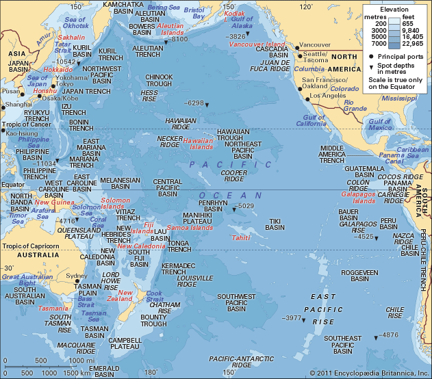
Niuafoʻou is the northernmost island of Tonga, located in the southwestern Pacific Ocean. As part of the Niuas island group, it covers 19 square miles (49…
What is Niuafoʿou?
Niuafoʻou is the northernmost island of Tonga, located in the southwestern Pacific Ocean. As part of the Niuas island group, it covers 19 square miles (49 square km) and is characterized by its volcanic landscape, which features a peak reaching 935 feet (285 meters), several hot springs, and a large crater lake known as Vai Lahi.1
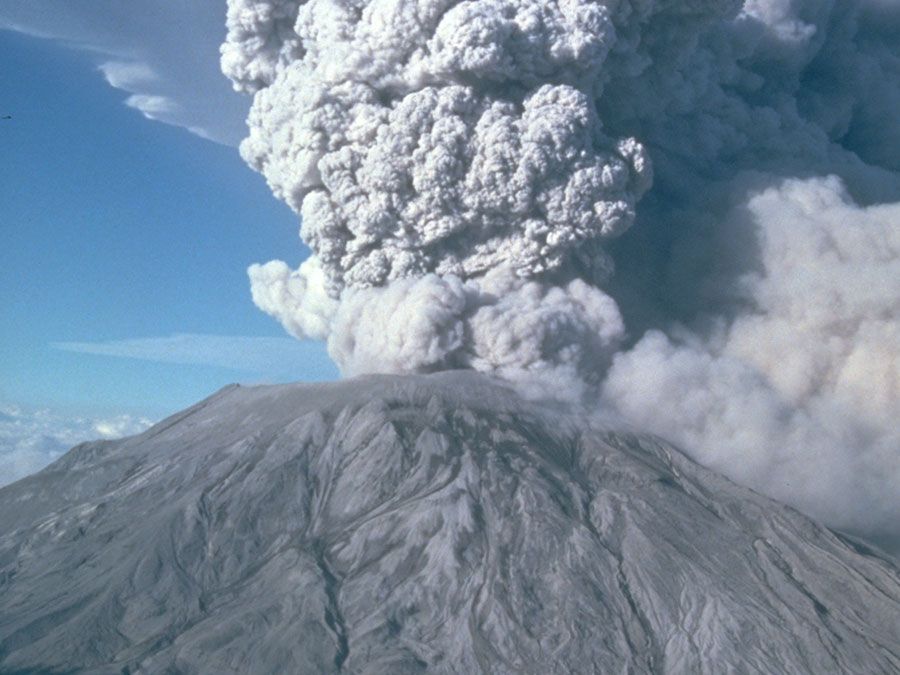
The island is famously nicknamed “Tin Can Island” due to a unique historical method of receiving mail, where packages were sealed in cans and dropped from passing ships. In 1946, a violent volcanic eruption forced the evacuation of the island’s 1,200 inhabitants to ʻEua Island; the population began returning to their home in 1958.1
Why is Niuafo’ou called Tin Can Island?
Niuafoʻou earned the nickname “Tin Can Island” due to its unique historical method of receiving mail. Because the island lacks a natural harbor, ships could not safely dock to deliver supplies or correspondence. Instead, mail was sealed inside empty biscuit tins and tossed overboard by passing vessels. Local swimmers would then retrieve the floating cans from the water and bring them ashore, ensuring the island remained connected to the outside world.1
How do volcanic islands like Niuafo’ou form?
Volcanic islands like Niuafoʻou are primarily formed through volcanism associated with the movement of tectonic plates. Most of these islands originate at subduction zones, where two plates converge and one is forced beneath the other into the mantle. This process creates long, curved chains of islands known as island arcs, such as the western chain of the Tongan islands, which are built up from the seafloor by the extrusion of basaltic and andesitic magmas.134
The formation process involves several key mechanisms:
- Subduction and Magma Generation: As the descending plate sinks, it undergoes partial melting, generating magma that rises to the surface of the overriding plate to form volcanic structures.13
- Accumulation: Repeated volcanic activity raises these structures above sea level, creating “high islands.” The surface composition—whether hard lava from shield volcanoes or softer ash and pumice from explosive eruptions—determines how quickly an island may erode.4
- Alternative Settings: While most islands in the Pacific basin form at subduction zones, some, like those in Hawaii, form within plates as they move over a “hot spot,” where magma penetrates the crust.3
What is the geography of the Niuas island group?
The Niuas island group, located in the southwestern Pacific Ocean, is a remote collection of islands belonging to Tonga. The group covers a total land area of approximately 27.7 square miles (71.7 square km) and consists of three primary islands: Niuatoputapu, Niuafoʻou, and Tafahi.8
The geography of these islands is defined by their volcanic origins:
- Niuafoʻou: The northernmost island of the group, it spans 19 square miles (49 square km). Its landscape is characterized by a volcanic peak reaching 935 feet (285 metres), numerous hot springs, and a large crater lake known as Vai Lahi, which itself contains smaller islands.1
- Niuatoputapu: This island covers 6 square miles (16 square km) and reaches an elevation of 479 feet (146 metres). It serves as the administrative center for the group and acts as a transit point for shipping between Tonga and Samoa.8
Sources
- Niuafoʿou — Encyclopædia Britannica
- Niuafo'ou — Merriam-Webster
- island arc — Encyclopædia Britannica
- volcanism — Encyclopædia Britannica
- volcano - Submarine volcanoes — Encyclopædia Britannica
- volcano - Major types — Encyclopædia Britannica
- Tonga - Relief — Encyclopædia Britannica
- Niuatoputapu — Encyclopædia Britannica
Published on · 2 min read