Prince Albert Mountains
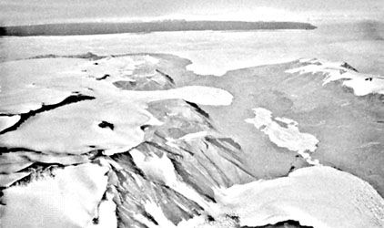
The Prince Albert Mountains are a major mountain group located in Antarctica. As a section of the Transantarctic Mountains, they stretch approximately 230…
What is Prince Albert Mountains?
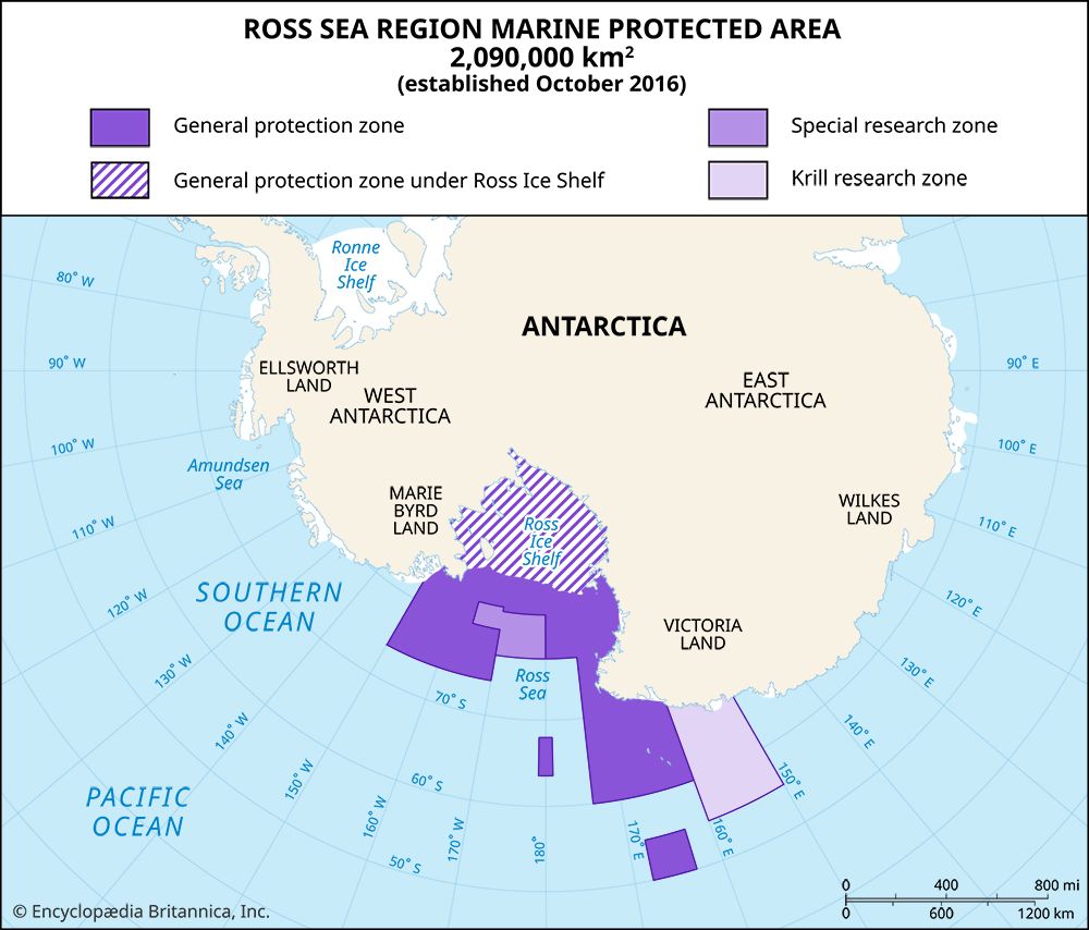
The Prince Albert Mountains are a major mountain group located in Antarctica. As a section of the Transantarctic Mountains, they stretch approximately 230 miles (370 km) along the Scott Coast of Victoria Land, situated west of the Ross Sea.12
The range is bounded by the Ferrar Glacier to the south and the Priestley Glacier and Deep Freeze Range to the north. Its highest peak is the isolated Mount Brooke, which reaches an elevation of 8,776 feet (2,675 m) west of McMurdo Sound.1
The mountains were discovered in 1841 by British explorer Sir James Clark Ross, who named them for the consort of Queen Victoria. Following their discovery, the region was further explored by British, New Zealand, and United States expeditions throughout the 20th century.1
What are the Transantarctic Mountains?
The Transantarctic Mountains are a massive mountain system that divides the Antarctic continent into two distinct regions: East Antarctica and West Antarctica. Stretching over 2,000 miles (3,200 km) from Victoria Land to the shores of the Weddell Sea, the range acts as a significant fault-block belt, or horst, separating the stable Precambrian shield of the east from the younger mobile belt of the west.23
Key characteristics of the system include:
- Topography: The mountains rise to 14,856 feet (4,528 meters) at Mount Kirkpatrick in the Queen Maud Mountains and are largely covered by an extensive ice sheet and a network of large glaciers.2
- Subdivisions: Major ranges within the system include the Shackleton, Pensacola, Horlick, Queen Alexandra, Britannia, Prince Albert, Dufek, and Admiralty ranges.2
- Geological Significance: The region contains vast coal reserves and a rich fossil record, including remains of ancient amphibians, reptiles, and dinosaurs, which provide evidence of past temperate climates.23
Who was Sir James Clark Ross?
Sir James Clark Ross (1800–1862) was a distinguished British naval officer and polar explorer renowned for his significant contributions to magnetic science and geography in both the Arctic and Antarctic regions.5
His career was marked by several major achievements:
- Arctic Exploration: Between 1819 and 1827, he participated in multiple Arctic voyages. In 1831, while serving on an expedition led by his uncle, Sir John Ross, he successfully located the north magnetic pole.56
- Antarctic Expeditions: Commanding the ships Erebus and Terror during his 1839–1843 expedition, he sought to reach the south magnetic pole. During this journey, he discovered the Ross Sea and Victoria Land in 1841. He was also the first to sight the massive Ross Ice Shelf, which now bears his name.57
- Legacy: Following his return to England in 1843, he was knighted and published his findings in A Voyage of Discovery and Research in the Southern and Antarctic Regions (1847).5
How do glaciers shape the Antarctic landscape?
Glaciers are the primary architects of the Antarctic landscape, as erosional and depositional processes driven by ice dominate the continent while the effects of running water remain relatively minor.8
Glacial Erosion
The vast ice sheets that cover approximately 98 percent of Antarctica have profoundly sculpted the underlying bedrock. As these glaciers move, they strip away pre-existing soil and debris, using the resulting material to abrade and pluck the underlying rock. This process creates distinct landforms, including:8910
- Streamlined Landscapes: Bedrock obstacles are often shaped into smooth, elongated “whaleback” forms, such as roches moutonnées, which are oriented in the direction of ice flow.10
- Basins and Depressions: Unlike water, which cannot flow uphill, glaciers can move over obstacles, allowing them to scour out deep basins and depressions that often fill with water to form lakes.10
- Fjords: In high-relief coastal areas, glaciers have carved deep, U-shaped valleys that are now partially submerged by the ocean. These features, such as those occupied by the Skelton Glacier, provide clear evidence of intense glacial scouring.10
Glacial Deposition
As glaciers move, they transport rock debris, which is eventually deposited as the ice melts or reaches its margins. This material, known as till, forms moraines—chaotic ridges of debris that mark the edges of glacial snouts or the paths of past advances. Additionally, the constant calving of icebergs from ice shelves and glaciers at the coast represents a significant mechanism for the mass loss of the Antarctic ice sheet.11912
Sources
- Prince Albert Mountains — Encyclopædia Britannica
- Transantarctic Mountains — Encyclopædia Britannica
- Antarctica - Structural framework — Encyclopædia Britannica
- glacier - Climatic conditions — Encyclopædia Britannica
- Sir James Clark Ross — Encyclopædia Britannica
- Ross Ice Shelf — Encyclopædia Britannica
- Arctic - 19th-century attempts at the passage — Encyclopædia Britannica
- Antarctica - Relief — Encyclopædia Britannica
- glacial landform - Erosional landforms of continental glaciers — Encyclopædia Britannica
- glacial landform - Moraines — Encyclopædia Britannica
- Antarctica — Encyclopædia Britannica
- iceberg - Impacts on ice sheets and sea level — Encyclopædia Britannica
Published on · 3 min read