White River
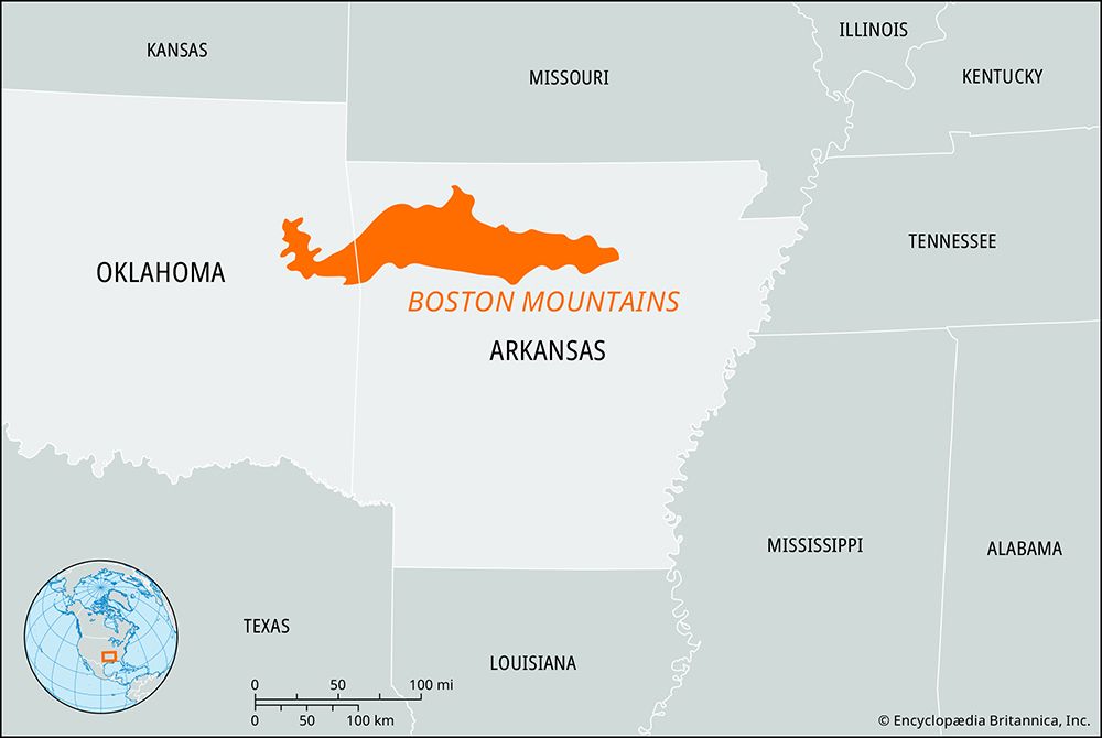
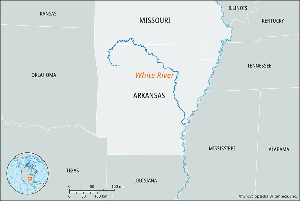
The White River rises in the Boston Mountains of northwestern Arkansas and flows northeast into southern Missouri. After bending southeast, it reenters…
What is the geographical location and course of the White River in Arkansas and Missouri?
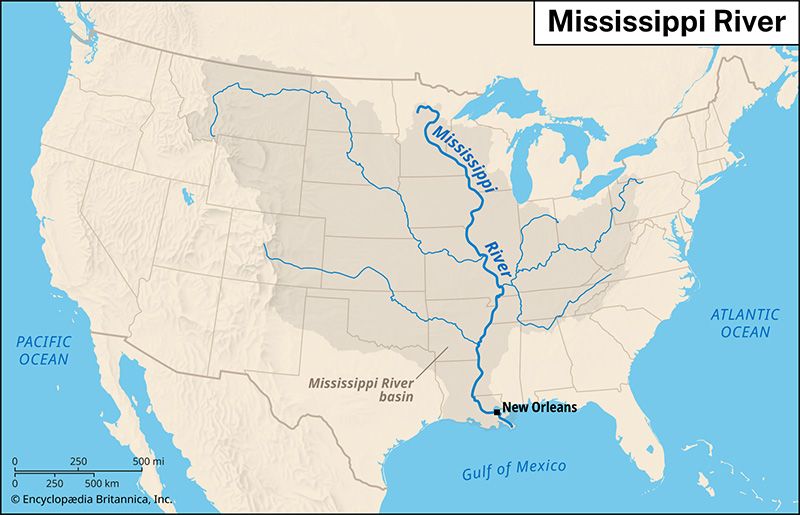
The White River rises in the Boston Mountains of northwestern Arkansas and flows northeast into southern Missouri. After bending southeast, it reenters Arkansas and continues in a southerly direction until it joins the Arkansas River near its confluence with the Mississippi River, above Arkansas City1.
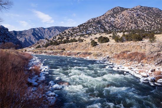
Throughout its upper course and through the Ozark Plateau of southern Missouri, the river is deeply entrenched in narrow gorges, often flowing through valleys more than 500 feet deep. Upon reaching Newport, Arkansas, the river emerges onto the Mississippi River’s floodplain, characterized by a gentler gradient, meanders, and swampland.1
Spanning 685 miles, the river is navigable upstream to Batesville, Arkansas, for approximately 300 miles. It is a significant drainage feature of the region, supported by major tributaries such as the Buffalo River and the Cache, Little Red, and North Fork rivers.1
How long is the White River, and what are its major tributaries?
The White River in Arkansas and Missouri is 685 miles (1,102 km) long. Its major tributaries include the Buffalo River, which enters from the south, as well as the Cache, Little Red, and North Fork rivers, which enter from the north.1
(Note: There is another river also named the White River that flows through Nebraska and South Dakota, but it is a separate waterway with a length of 325 miles.)4
Are there any unique geological features or formations along the White River’s course?
The White River in Arkansas and Missouri is characterized by distinct geological features as it traverses different landscapes. In its upper course, the river is deeply entrenched within the Boston Mountains and the Ozark Plateau, where it has carved narrow, rugged gorges that reach depths of more than 500 feet.1
The surrounding Ozark region is notable for its complex underground drainage systems, which include numerous springs and limestone caves formed by the dissolution of soluble rock limestone caves](https://www.britannica.com/science/cave) formed by the dissolution of soluble rock. As the river flows through these highlands, its descent is quite rapid, exceeding 25 feet per mile.351
Upon reaching Newport, Arkansas, the river transitions from these entrenched highlands onto the Mississippi River floodplain. In this lower section, the geological character shifts significantly; the gradient flattens to less than 3 feet per mile, resulting in a landscape defined by meandering channels, abandoned riverbeds, and extensive swampland.1
What are the main dams and lakes located along the White River?
The White River features several significant dams and reservoirs that were constructed primarily for flood control and hydroelectric power. The main impoundments along its course include:
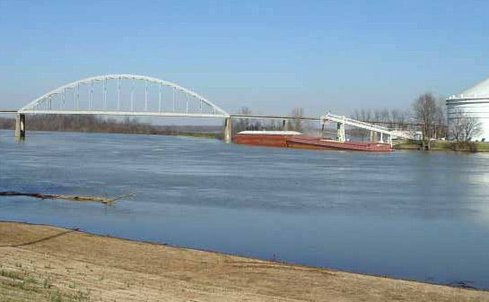
- Bull Shoals Dam: Completed in 1947, this dam is located just north of Cotter, Arkansas. It impounds Bull Shoals Lake, a large reservoir that extends 37 miles (60 km) upstream.1
- Forsyth Dam: This structure impounds Lake Taneycomo, which is situated 5 miles (8 km) northeast of Branson, Missouri.1
While the Black River—a tributary of the White River—also features the Clearwater Dam near Piedmont, Missouri, the dams listed above are the primary installations directly on the main stem of the White River.15
Sources
- White River — Encyclopædia Britannica
- White River — Encyclopædia Britannica
- Arkansas - Relief, drainage, and soils — Encyclopædia Britannica
- White River — Encyclopædia Britannica
- Black River — Encyclopædia Britannica
- Ozark Mountains — Encyclopædia Britannica
Published on · 2 min read