Jing River
The Jing River is a river located in north-central China and serves as the largest tributary of the Wei River.
What is Jing River?
The Jing River is a river located in north-central China and serves as the largest tributary of the Wei River.1
It originates in the Liupan Mountains within the Ningxia Hui Autonomous Region. From there, the river flows approximately 280 miles (450 km) through Gansu province before reaching central Shaanxi, where it eventually empties into the Wei River.1
What is the significance of the Wei River in Chinese history?
The Wei River holds profound historical significance as the cradle of Chinese civilization. Until the 10th century CE, the Wei River valley served as the seat of power for a succession of imperial capital cities.3
The region was a pioneer in hydraulic engineering. In the 3rd century BCE, the area surrounding the junction of the Wei and Jing rivers became the site of China’s first ambitious irrigation projects, including the Baigong and Chenggong canal systems. Because the river carries a heavy silt load, it was not suitable for large-scale navigation; instead, the Chinese built extensive canals paralleling the river to supply the capital cities near Xi’an. These efforts began as early as the Han dynasty and continued through the Sui dynasty, reflecting the vital role the river played in sustaining the prosperity of the region’s agricultural heartland.3
How do mountain ranges like the Liupan influence river paths?
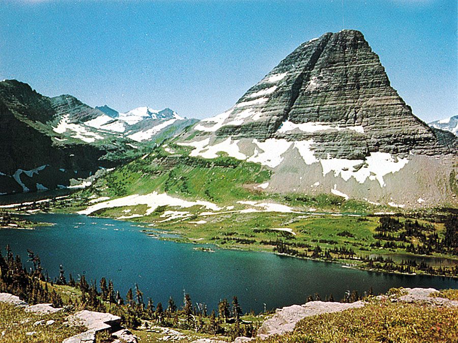
Mountain ranges significantly influence river paths by acting as watersheds, which dictate the direction and separation of drainage systems. A primary example is the Liupan Mountains, which serve as a sharp divide between the Hulu River system to the west and the Jing River system to the east, both of which are tributaries of the Wei River. Similarly, the Continental Divide in North America separates drainage flowing toward the Atlantic and Arctic oceans from that flowing into the Pacific.
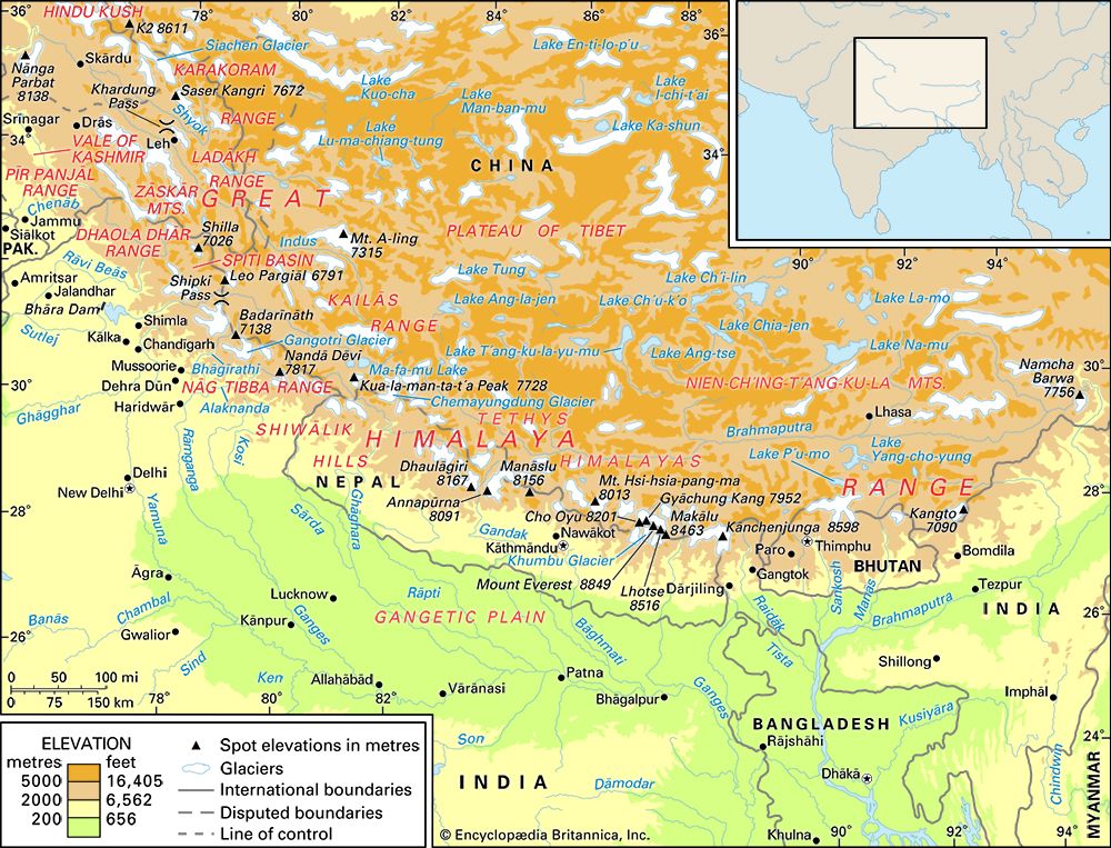
In some cases, rivers are older than the mountains they traverse. If a range is uplifted slowly, rivers may maintain their original courses, cutting deep transverse gorges through the rising terrain as they acquire greater momentum. This process is evident in the Himalayas, where major rivers like the Indus and Brahmaputra continue to drain northern slopes despite the mountain barrier. Additionally, geologic structures like fault lines often dictate the specific paths these rivers follow through the landscape.
What are some other major river systems in China?
Beyond the Wei River, China possesses an extensive network of waterways, with three major river systems serving as the primary arteries of the country: the Yangtze, the Huang He (Yellow River), and the Xi River.13
Major River Systems
- Yangtze River: As the longest river in both China and Asia, the Yangtze is the country’s most vital waterway. It flows from the Plateau of Tibet to the East China Sea, serving as a major economic corridor and the “great granary” of China.1413
- Huang He (Yellow River): Known for carrying the highest concentration of sediment of any river in the world, the Huang He has historically been prone to dramatic course shifts and flooding. It rises in the Kunlun Mountains and flows into the Bo Hai.1513
- Xi River System: This is the primary water transport artery of South China. It converges with the Bei and Dong rivers to form the Pearl River Delta, a critical hub for trade and navigation.1617
Notable Waterways
- Grand Canal: This is the world’s longest artificial waterway, stretching 1,100 miles from Beijing to Hangzhou.17 It historically served as a vital north-south link for transporting grain and bulk goods between the Yangtze basin and northern capital cities.1816
- Northeast Rivers: In the Northeast Plain, the Sungari (Songhua) River and its tributaries, including the Amur and Ussuri, form a significant network, though they are icebound for several months each year.16
Sources
- Jing River — Encyclopædia Britannica
- Jialing River — Encyclopædia Britannica
- Wei River — Encyclopædia Britannica
- Origins of agriculture - The classical-imperial era — Encyclopædia Britannica
- Liupan Mountains — Encyclopædia Britannica
- Himalayas - Drainage of the Himalayas — Encyclopædia Britannica
- Rocky Mountains - Physiography — Encyclopædia Britannica
- river - Environments of deposition — Encyclopædia Britannica
- East African mountains - Drainage of the East African mountains — Encyclopædia Britannica
- river - Origin of river terraces — Encyclopædia Britannica
- river - Rivers as agents of landscape evolution — Encyclopædia Britannica
- Continental Divide — Encyclopædia Britannica
- Yangtze River - History of the Yangtze River — Encyclopædia Britannica
- Yangtze River — Encyclopædia Britannica
- China - Drainage — Encyclopædia Britannica
- Yellow River - Hydrology of the Yellow River — Encyclopædia Britannica
- China - Waterways of China — Encyclopædia Britannica
- Guangdong - Drainage — Encyclopædia Britannica
Published on · 3 min read