Laramie Mountains
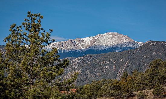
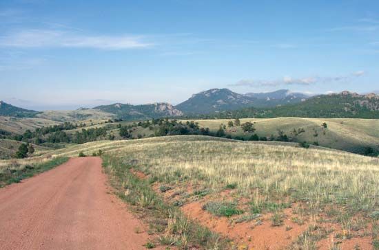
The Laramie Mountains are a range within the central Rocky Mountains, located primarily in southeastern Wyoming. Often considered a northern extension of…
What is Laramie Mountains?
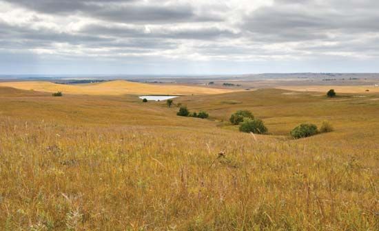
The Laramie Mountains are a range within the central Rocky Mountains, located primarily in southeastern Wyoming. Often considered a northern extension of Colorado’s Front Range, the range spans approximately 125 miles from the Wyoming-Colorado border to the North Platte River near Casper.1
The mountains reach widths of 25 to 50 miles and rise significantly above the surrounding Great Plains and the Laramie Basin. While many areas exceed 9,000 feet in elevation, the range’s highest point is Laramie Peak at 10,272 feet. Historically, the range’s lower southern section provided a vital corridor for the Union Pacific Railroad and cross-country travel. The mountains, which are partially encompassed by the Medicine Bow National Forest, were named in honor of Jacques La Ramie.1
How do the Rocky Mountains differ from other mountain ranges?
The Rocky Mountains are distinguished from other mountain ranges by their unique tectonic origins, complex physiography, and current state of development. Unlike many other ranges, the Rockies are often categorized as a collision-type system associated with oceanic trenches, though they exhibit distinct characteristics compared to active systems like the Andes10.
Key differences include:
- Tectonic Quiescence: While ranges like the Andes continue to grow through active subduction, the Rocky Mountains appear to be tectonically quiescent and are currently experiencing denudational lowering rather than active uplift.3
- Geologic Diversity: The Rockies are composed of at least 100 separate ranges divided into four broad groupings—the Canadian, Northern, Middle, and Southern Rockies—each with distinct geologic histories, ranging from Paleozoic limestone thrust sheets to crystalline batholiths.45
- Structural Complexity: Unlike the regular, parallel ridges found in classic fold belts (such as the Appalachians), the Rockies feature a mix of compressional folding, high-angle faulting, and block-faulting.56
- Erosion and Relief: The range is defined by spectacular scenery shaped by past glaciation and volcanic activity, with high local relief often exceeding 5,000 to 7,000 feet.4
Who was Jacques La Ramie?
Jacques La Ramie was a French-Canadian fur trapper who is historically significant for being the namesake of several prominent geographic features in southeastern Wyoming, including the Laramie Mountains, the Laramie River, and the city of Laramie.121
He was active in the region during the early 19th century and is believed to have been killed by Indigenous people near the river that now bears his name around 1819.12
What is the significance of the North Platte River?
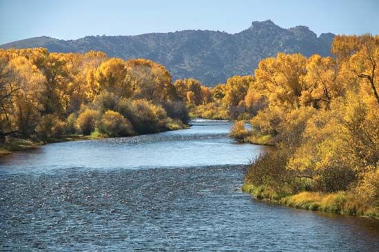
The North Platte River is a vital waterway in the American West, serving as a critical component of both historical migration and modern resource management.
Historical Significance
During the 19th century, the river played a pivotal role in westward expansion. Pioneers traveling along the Oregon Trail followed the Platte River system, eventually continuing along the North Platte as they moved into the increasingly rugged and arid landscapes of present-day Wyoming. This route was essential for hundreds of thousands of emigrants seeking new opportunities in the Pacific Northwest.1314
Economic and Environmental Role
Today, the North Platte is central to a comprehensive, multipurpose project within the Missouri River basin. Its significance includes:
- Water Management: The river is heavily regulated by a series of large dams and reservoirs—such as Pathfinder, Seminoe, and Guernsey—which provide essential flood control, hydroelectric power, and water for irrigation.15
- Agricultural Support: The diversion of water for irrigation is a cornerstone of the regional economy, supporting agriculture across its course through Colorado, Wyoming, and Nebraska.1516
Sources
- Laramie Mountains — Encyclopædia Britannica
- Laramie River — Encyclopædia Britannica
- Rocky Mountains — Encyclopædia Britannica
- Rocky Mountains - Climate — Encyclopædia Britannica
- Rocky Mountains - Soils of the Rocky Mountains — Encyclopædia Britannica
- Rocky Mountains - Physiography — Encyclopædia Britannica
- Sierra Nevada - Physiography — Encyclopædia Britannica
- mountain - Geomorphic characteristics — Encyclopædia Britannica
- Sierra Nevada — Encyclopædia Britannica
- continental landform - Orogenic geomorphic systems — Encyclopædia Britannica
- Appalachian orogenic belt — Encyclopædia Britannica
- Laramie — Encyclopædia Britannica
- North Platte River — Encyclopædia Britannica
- Platte River — Encyclopædia Britannica
- Nebraska - Drainage — Encyclopædia Britannica
- Oregon Trail — Encyclopædia Britannica
- How long was the Oregon Trail? — Encyclopædia Britannica
Published on · 3 min read