Sarda River
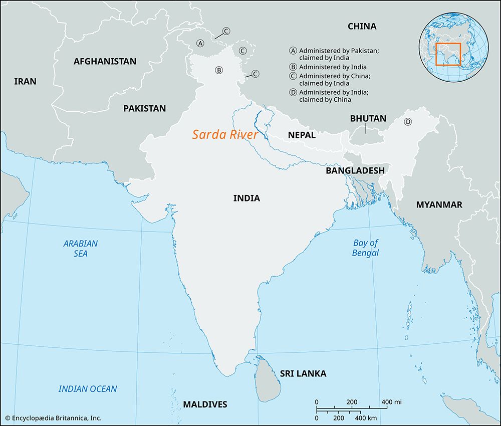
The Sarda River is a significant waterway located in northern India and western Nepal. It originates in the Great Himalayas on the eastern slopes of the…
What is Sarda River?
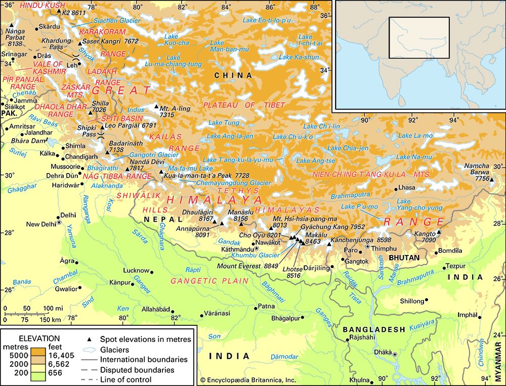
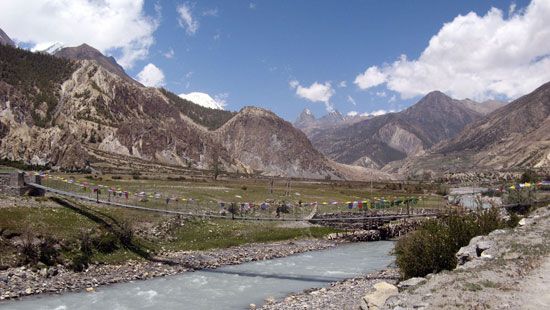
The Sarda River is a significant waterway located in northern India and western Nepal. It originates in the Great Himalayas on the eastern slopes of the Nanda Devi massif in Uttarakhand, where it is initially known as the Kali River.1
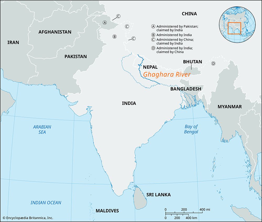
As it flows south-southwest, the river forms the border between Uttarakhand and Nepal. Upon entering the Indo-Gangetic Plain at Barmdeo Mandi, it is officially designated as the Sarda River. It continues for approximately 300 miles (480 km) in a southeasterly direction through Uttar Pradesh before merging with the Ghaghara River.1
The river is vital for regional agriculture, as the Sarda Barrage near Banbasa serves as the headworks for the Sarda Canal, one of the longest irrigation systems in northern India. Its primary tributaries include the Dhauliganga, Goriganga, and Sarju rivers.1
How does the Sarda Canal help local agriculture?
The Sarda Canal, which was completed in 1930, serves as a vital component of the irrigation infrastructure in northern India. By diverting water from the Sarda River at the Sarda Barrage near Banbasa, the canal system provides essential water resources to support agricultural activities in the region.1
Specifically, the canal is used to irrigate land near Ayodhya in the state of Uttar Pradesh. This irrigation network is part of a broader system of canals in the Ganges valley that has significantly increased the production of important cash crops, including sugarcane, cotton, and oilseeds.4
What are the main tributaries of the Sarda River?
The major tributaries of the Sarda River are:
How do rivers like the Sarda shape the Indo-Gangetic Plain?
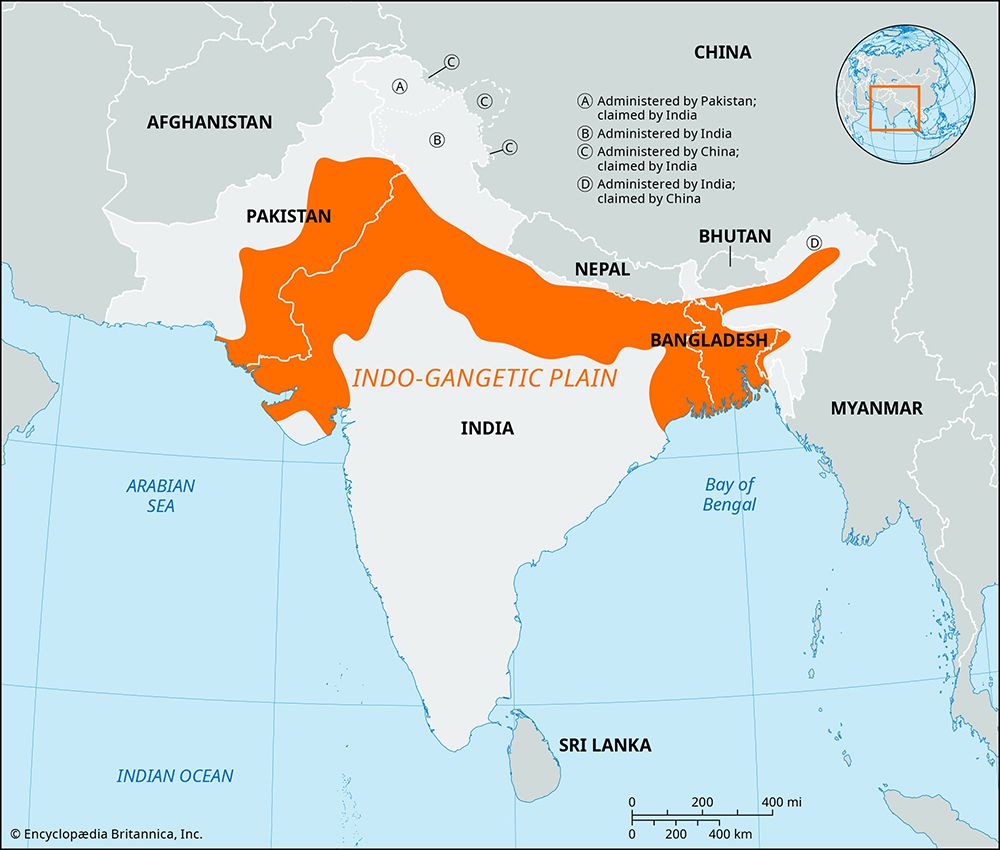
Rivers like the Sarda River play a fundamental role in shaping the Indo-Gangetic Plain, a vast region formed by the accumulation of river-borne sediment in a zone of crustal subsidence between the Himalayas and the Deccan plateauimalayas) and the Deccan plateau.87
The primary ways these rivers influence the landscape include:
- Alluvial Deposition: As rivers descend from the mountains, they carry vast amounts of sediment that fill the plain, creating deep, fertile alluvial soils. This process distinguishes between khadar—highly fertile, fresh alluvium found on low-lying floodplains—and bhangar, which consists of older, slightly elevated alluvial terraces.89
- Hydrological Support: The relatively even flow of rivers issuing from the Himalayas, combined with vast sandy aquifers beneath the alluvial deposits, provides the region with essential water reserves. This makes the plain one of the most agriculturally productive areas in India, supporting intensive cultivation of crops like wheat and rice.81
- Geological Evolution: The continuous erosion of the Himalayas and the subsequent transport of sediment by mountain streams have caused the subsidence zone to sink, allowing for the accumulation of alluvial deposits up to 6,000 feet deep.7
Sources
- Sarda River — Encyclopædia Britannica
- Gandak River — Encyclopædia Britannica
- Tirso River — Encyclopædia Britannica
- Narmada River — Encyclopædia Britannica
- Ganges River - Irrigation — Encyclopædia Britannica
- Himalayas - Drainage of the Himalayas — Encyclopædia Britannica
- India - Alluvial soils — Encyclopædia Britannica
- India - The Indo-Gangetic Plain — Encyclopædia Britannica
- India - Relief — Encyclopædia Britannica
- India - Agriculture — Encyclopædia Britannica
- Indo-Gangetic Plain — Encyclopædia Britannica
Published on · 2 min read