False Bay
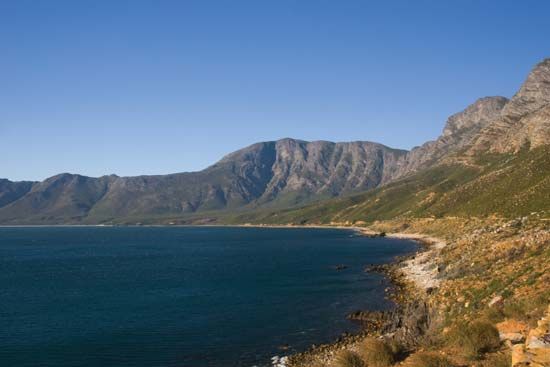
False Bay is a large inlet located on the southern side of the Cape Peninsula in South Africa, situated southeast of Cape Town.
What is False Bay?
False Bay is a large inlet located on the southern side of the Cape Peninsula in South Africa, situated southeast of Cape Town.12
The bay is defined by Cape Point to the west and Cape Hangklip to the east, which are approximately 20 miles apart. Its name originated from early sailors who frequently mistook the bay for Table Bay, located further to the north.1
Due to the influence of the Indian Ocean, the waters of False Bay are typically about 10° F (5.5° C) warmer than those of Table Bay. The area is well sheltered, though it is subject to southeasterly winds during the summer months, and it is known for being well supplied with fish.1
Why is the water in False Bay warmer than in Table Bay?
The water in False Bay is approximately 10° F (5.5° C) warmer than that of Table Bay primarily due to the influence of the Indian Ocean.1
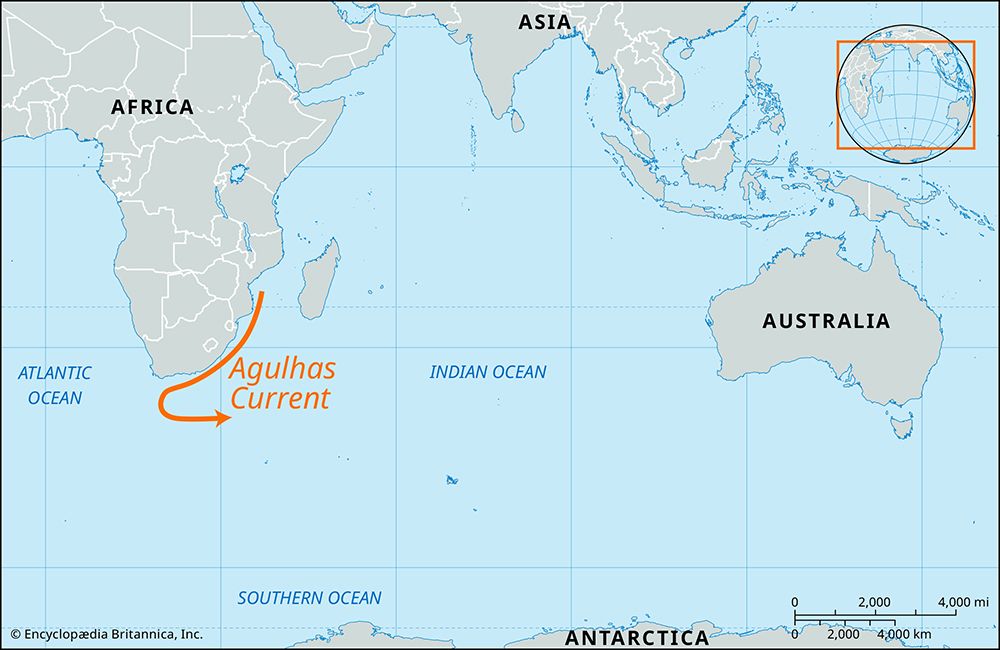
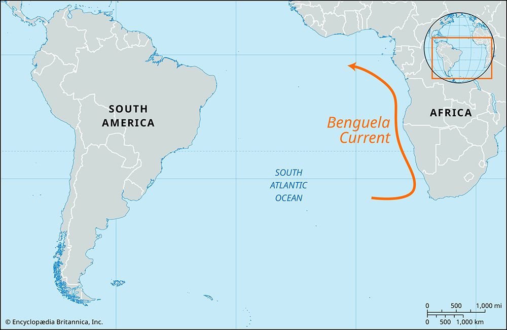
This temperature difference is driven by the region’s complex ocean currents. The Agulhas Current—a warm, fast-flowing western boundary current—moves southward along the southeast coast of South Africa, bringing warmer water from lower latitudes toward the bay. In contrast, the waters near Table Bay are influenced by the Benguela Current, which flows northward along the west coast of southern Africa. This current is characterized by the upwelling of cool, nutrient-rich water from the Atlantic Ocean, which keeps temperatures significantly lower than those found in the sheltered, Indian Ocean-influenced waters of False Bay.314
What types of marine life inhabit False Bay?
False Bay is a biologically rich environment, well supplied with a diverse array of fish. While specific species lists are extensive, the bay’s warmer waters—influenced by the Indian Ocean—create a unique habitat that supports a variety of marine life compared to the cooler Atlantic waters nearby.1
The bay serves as an important area for both commercial and recreational fishing, benefiting from the nutrient-rich conditions that sustain these populations.1
What is the significance of the Cape of Good Hope?
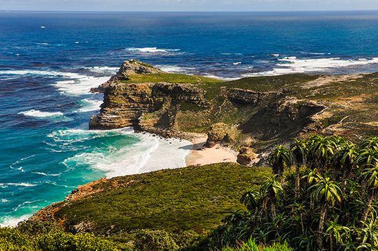
The Cape of Good Hope is a rocky promontory at the southern end of the Cape Peninsula in South Africa that holds immense historical and strategic significance. Its discovery by Portuguese navigator Bartolomeu Dias in 1488 marked a pivotal moment in the European Age of Discovery, as it confirmed that a direct sea route from Europe to the Indian Ocean and the markets of Asia was possible.78
The cape’s significance includes:
- Global Trade: Successful navigation around the southern tip of Africa established vital maritime connections, reducing European reliance on existing trade routes through the eastern Mediterranean Sea and western Asia.8
- Strategic Navigation: It became a crucial stopping point for long-distance maritime travel. In 1652, the Dutch East India Company established Cape Town as a station to provide fresh supplies to ships, which helped mitigate scurvy among crews.89
- Colonial Expansion: The cape served as a gateway for European settlement in Southern Africa, fundamentally altering the region’s history.89
Known for its stormy weather, the cape sits at the convergence of the warm Agulhas Current and the cool Benguela Current.8
Sources
- False Bay — Encyclopædia Britannica
- False Bay — Merriam-Webster
- Agulhas Current — Encyclopædia Britannica
- Marine ecosystem - Ocean currents — Encyclopædia Britannica
- Mozambique Current — Encyclopædia Britannica
- Benguela Current — Encyclopædia Britannica
- Cape of Good Hope: Top Questions — Encyclopædia Britannica
- Cape of Good Hope — Encyclopædia Britannica
- Western colonialism - Eastern pursuits — Encyclopædia Britannica
Published on · 2 min read