Kerala Plains
The Kerala Plains are a narrow strip of coastland located in southwestern India. They front the Arabian Sea to the west and are bordered to the east by the…
What is the geographical location and extent of the Kerala Plains in India?
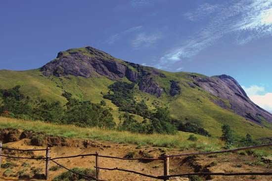
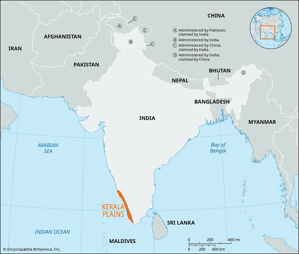
The Kerala Plains are a narrow strip of coastland located in southwestern India. They front the Arabian Sea to the west and are bordered to the east by the hills of the Western Ghats, the Nilgiri, and the Southern Ghats.1
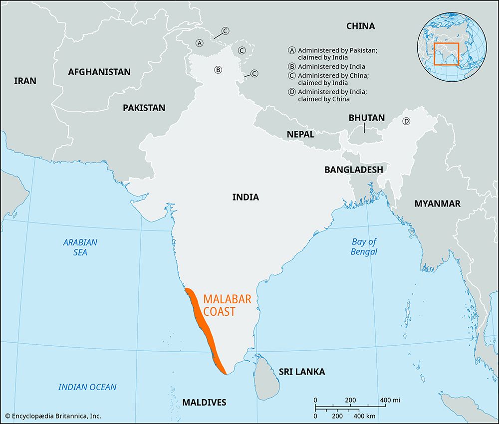
The region constitutes nearly all of Keralam state and the majority of the Malabar Coast. Regarding their physical extent, the plains stretch approximately 330 miles (530 km) in length and vary in width from 12 to 60 miles (19 to 96 km). They cover a total area of about 11,000 square miles (28,000 square km) and maintain an elevation below 33 feet (10 metres).1
What is the geological history of the Kerala Plains and how were they formed?
The Kerala Plains, which constitute the majority of the Malabar Coast, were formed primarily through the deposition of sediment along the shoreline. This geological process created a coastal plain that varies in width between 15 and 60 miles (25 to 100 km).1
The region’s physical character is further defined by its interaction with the Arabian Sea and the adjacent Western Ghats. The plains are indented by numerous shallow lagoons, locally known as kayes, which were formed by teris (sand dunes). These features, alongside brackish, navigable backwater channels, are characteristic of the area’s ongoing coastal evolution. While scientific accounts emphasize these sedimentary and coastal processes, the region is also culturally associated with the Purana, which describes the land as having been reclaimed from the sea by the sage Parashurama.31
What are the major rivers that flow through the Kerala Plains, and how do they impact the region?
The Kerala Plains are defined by a dense network of rivers that serve as vital arteries for the region’s ecology, economy, and infrastructure. These rivers are typically short, swift-flowing, and heavily dependent on monsoon rains for their water levels.1
Major Rivers
Several key rivers flow westward from the Western Ghats to the Arabian Sea, including:
- Periyar River: Known as the “lifeline of Keralam,” it is the longest river in the state and a primary source of hydroelectric power and irrigation.7
- Bharatapuzha, Chalakudi, and Pamba: These are among the other significant rivers that contribute to the region’s drainage system.1
Impact on the Region
The rivers significantly shape the Kerala Plains in several ways:
- Inland Waterways: The rivers and their associated backwaters constitute approximately one-fifth of India’s total length of inland waterways, facilitating transportation and connectivity.8
- Economic Importance: The river basins support extensive agriculture, including rice, cassava, and various cash crops. Furthermore, about 25 percent of the state’s industries are located along the banks of the Periyar, though this has led to concerns regarding industrial pollution.87
- Biodiversity: These waterways sustain unique ecosystems, such as those found in the Periyar Wildlife Sanctuary, which supports a vast array of flora and fauna.7
What are the main geographical features that characterize the Kerala Plains?
The Kerala Plains are a narrow, elongated strip of coastland in southwestern India that stretches approximately 330 miles (530 km) along the Arabian Sea. The region is characterized by several distinct geographical features:1
- Coastal Topography: The plains vary in width from 12 to 60 miles (19 to 96 km) and generally lie at low elevations, typically below 33 feet (10 meters). The coastline is defined by a continuous belt of sand dunes, known as teris, which have helped form numerous shallow lagoons called kayes.113
- Inland Waterways: A defining feature of the landscape is the extensive network of backwaters and lagoons linked by canals, which serve as vital inland waterways.113
- Drainage: The plains are crisscrossed by numerous short, swift-flowing rivers—such as the Periyar River, Bharatapuzha, Chalakudi, and Pamba—that originate in the Western Ghats to the east and flow westward to the sea.14
- Vegetation and Land Use: The sandy coastal areas are frequently covered with coconut palms, while the fertile plains support intensive cultivation of crops like rice, cassava, and various spices.113
Sources
- Kerala Plains — Encyclopædia Britannica
- Karnataka Coast — Encyclopædia Britannica
- India - Coastal areas — Encyclopædia Britannica
- Ghats — Encyclopædia Britannica
- Indian Platform — Encyclopædia Britannica
- Asia - Mesozoic events in the continental nuclei — Encyclopædia Britannica
- Keralam - Relief and drainage — Encyclopædia Britannica
- Periyar River — Encyclopædia Britannica
- climate of India - The monsoons — Encyclopædia Britannica
- India - Fishing — Encyclopædia Britannica
- Indian monsoon — Encyclopædia Britannica
- Keralam: Top Questions — Encyclopædia Britannica
- Malabar Coast — Encyclopædia Britannica
- Western Ghats — Encyclopædia Britannica
Published on · 3 min read