Mount Frissell
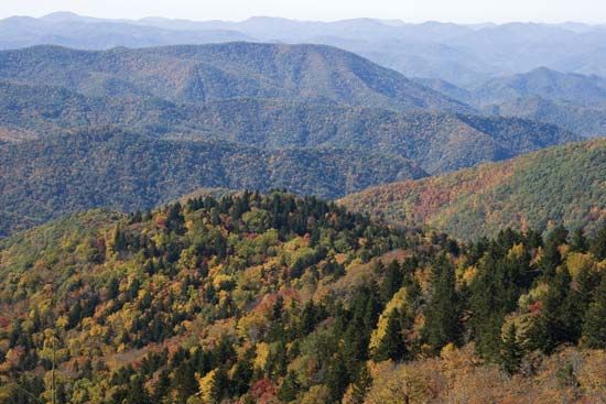
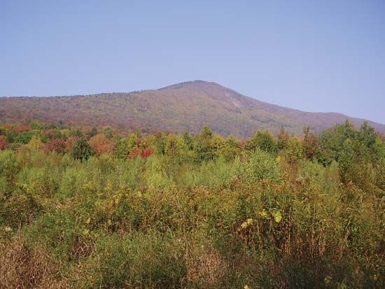
Mount Frissell is a mountain located in the Taconic Range near the borders of Massachusetts and New York. Situated just north-northwest of Salisbury, it…
What is Mount Frissell?
Mount Frissell is a mountain located in the Taconic Range near the borders of Massachusetts and New York. Situated just north-northwest of Salisbury, it serves as the highest point in Connecticut, reaching an elevation of 2,380 feet (725 metres).1
What is the Taconic Range?
The Taconic Range is a mountain chain that forms part of the Appalachian mountain system in the United States2. Stretching approximately 150 miles (240 km), the range extends southward from a point southwest of Brandon, Vermont, through the Massachusetts–New York border, and into northern Putnam County, New York.23
Key features of the range include:
- Elevation: The highest peak is Mount Equinox in Vermont, which reaches 3,816 feet (1,163 meters). It also contains Mount Frissell, the highest point in Connecticut, at 2,380 feet (725 meters).23
- Regional Geography: In Massachusetts, these mountains make up the western section of the Berkshire Hills.2
- Etymology: The name is believed to originate from an Algonquian word referring to a forest, wood, or tree.2
- Recreation: The range includes Taconic State Park in New York, a popular area for outdoor activities.2
The range is distinct from the Taconic orogeny, a mountain-building event that occurred roughly 472 million years ago during the Ordovician Period.4
How do mountain ranges form?
Mountain ranges are primarily formed through orogeny, a mountain-building process driven by plate tectonics that causes intensive deformation of the Earth’s crust. These ranges typically develop through three main mechanisms:56
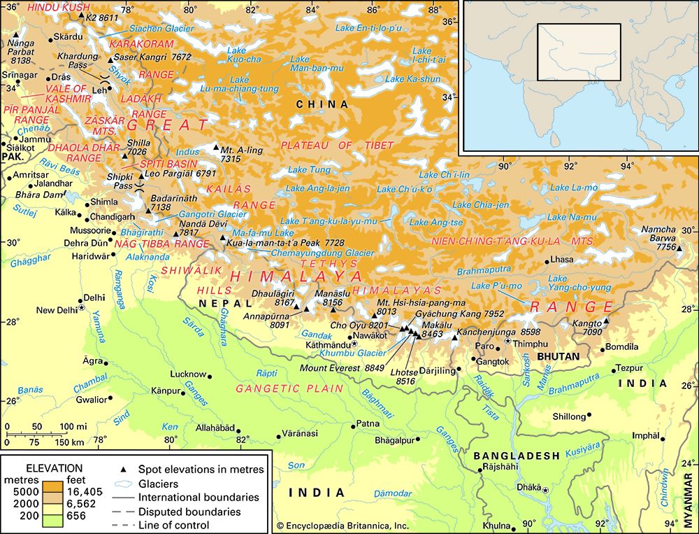
- Convergent Margins: When tectonic plates collide, the immense pressure causes the crust to fold, fault, and thicken. This includes the collision of two continents, such as the formation of the Himalayas and the Alps, or the subduction of oceanic plates beneath continental plates, which creates volcanic chains like the Andes chains like the Andes.76
- Block Faulting: This occurs when the crust is stretched or pulled apart, causing large blocks of rock to tilt or uplift along faults. This process creates rugged terrain, such as the Sierra Nevada or the Basin and Range Province.7689
- Volcanism: Mountains can form through the accumulation of volcanic material, often associated with subduction zones or “hot spots,” where magma rises to the surface and solidifies.76
While tectonic processes build these structures, erosion continuously sculpts them. In some cases, erosion of ancient plateaus leaves behind residual mountains, such as Mount Katahdin.86
What are the highest points in neighboring states?
The following table lists the highest points for several states in the northeastern United States:
State
Highest Point
Elevation
New Hampshire
Mount Washington
6,288 feet (1,917 meters)
New York
Mount Marcy
5,344 feet (1,629 meters)
Vermont
Mount Mansfield
4,393 feet (1,339 meters)
Massachusetts
Mount Greylock
3,491 feet (1,064 meters)
Connecticut
Mount Frissell
2,380 feet (725 meters)
Sources
- Mount Frissell — Encyclopædia Britannica
- Taconic Range — Encyclopædia Britannica
- Appalachian orogenic belt — Encyclopædia Britannica
- Taconic Range — Merriam-Webster
- orogeny — Encyclopædia Britannica
- tectonic landform — Encyclopædia Britannica
- plate tectonics - Mountain building — Encyclopædia Britannica
- mountain - Geomorphic characteristics — Encyclopædia Britannica
- continental landform - Orogenic geomorphic systems — Encyclopædia Britannica
- How are mountains formed? — Encyclopædia Britannica
- Mount Mansfield — Encyclopædia Britannica
- Mount Greylock — Encyclopædia Britannica
- Mount Marcy — Encyclopædia Britannica
- New Hampshire - Relief — Encyclopædia Britannica
- White Mountains — Encyclopædia Britannica
Published on · 2 min read