Smith Sound
Smith Sound is an Arctic sea passage located between Ellesmere Island in Canada to the west and northwestern Greenland to the east. The sound measures…
What is Smith Sound?
Smith Sound is an Arctic sea passage located between Ellesmere Island in Canada to the west and northwestern Greenland to the east. The sound measures approximately 30–45 miles (48–72 km) in width and extends 55 miles (88 km) northward, connecting Baffin Bay to the Kane Basin.1
The passage was discovered in 1616 by the explorer William Baffin, who named it in honor of Sir Thomas Smythe, a promoter of voyages seeking the Northwest Passage. For centuries, it served as a significant geographic milestone; until the mid-19th century, it marked the northernmost latitude reached by explorers. The area also holds historical significance in the annals of polar exploration, notably serving as a site for the Greely expedition in the 1880s.12
Who was William Baffin and what were his contributions to Arctic exploration?
William Baffin (c. 1584–1622) was an English navigator renowned for his efforts to discover the Northwest Passage. His contributions to Arctic exploration were significant, particularly his 1615 achievement of determining longitude at sea by observing the occultation of a star by the Moon, which is considered the first recorded instance of this method.3
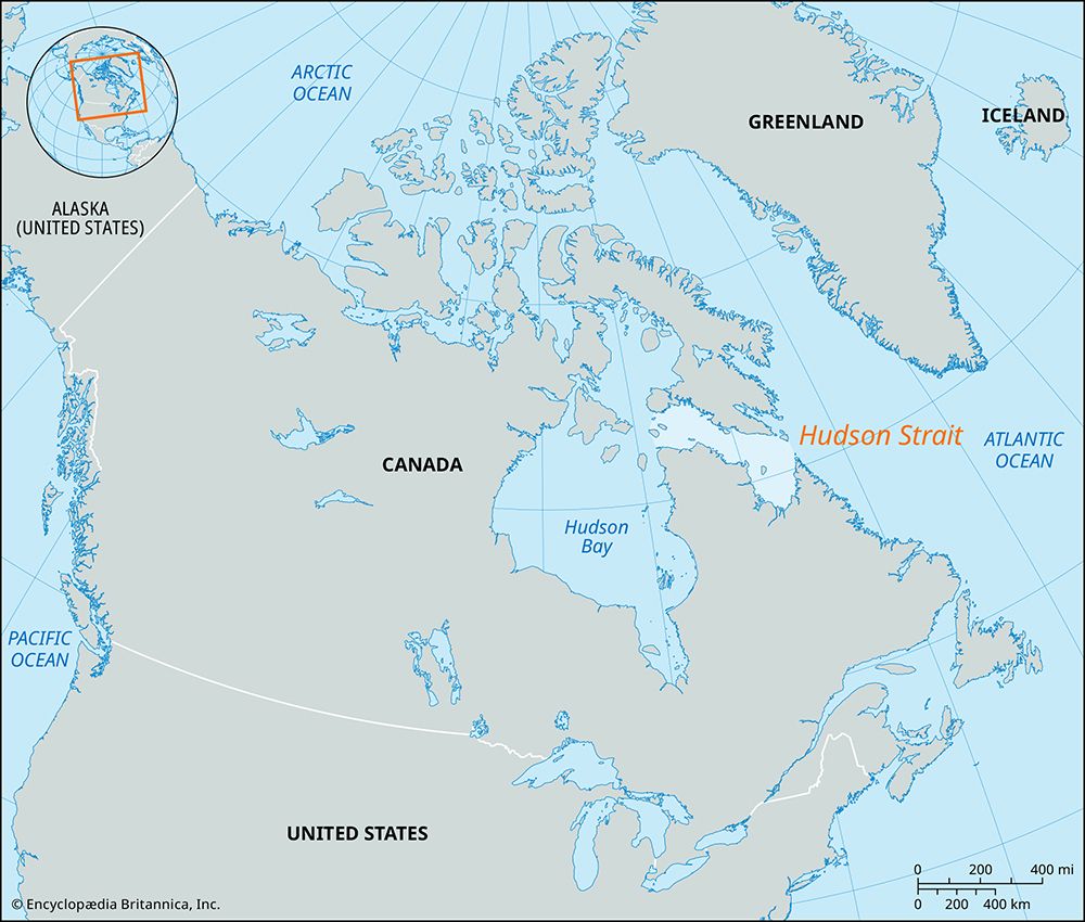
During his expeditions aboard the Discovery, Baffin explored the Hudson Strait in 1615. In 1616, he reached Baffin Bay, penetrating 300 miles farther north than his predecessor John Davis. During this voyage, he identified and named Lancaster, Smith, and Jones sounds. His legacy is preserved in the geography of the region, as he is the namesake of Baffin Island and Baffin Bay. Although he concluded that a passage to India via that route was unlikely, his navigational precision and exploration of the Canadian Arctic remain foundational to the history of the region.3
What is the significance of the Northwest Passage in history?
The Northwest Passage is a historical sea route through the Arctic Archipelago of Canada, connecting the Atlantic Ocean to the Pacific Ocean. Its significance in history is defined by centuries of maritime exploration, economic ambition, and the immense human cost associated with navigating one of the world’s most challenging environments.5
Historical Significance
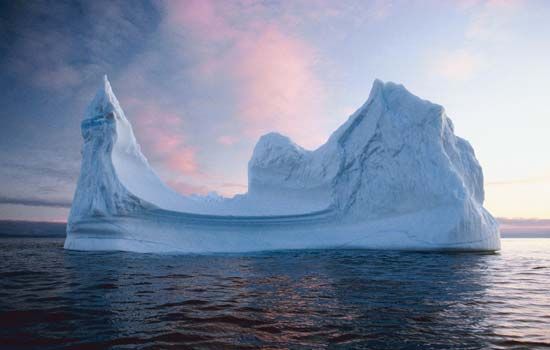
Since the late 15th century, Western explorers sought a northern route to East Asia to bypass overland trade routes disrupted by the Ottoman Empire. This quest drove generations of explorers—including John Cabot, Henry Hudson, and Sir John Franklin—to face extreme hazards, including massive icebergs and the polar ice cap. The search often ended in disaster, most notably the disappearance of the Franklin expedition in 1845.56
The passage was finally conquered by sea in 1905 by Roald Amundsen, who completed the transit after a three-year voyage.56
Contemporary Importance
Today, the Northwest Passage is significant for its potential as a commercial shipping route. Due to global warming and the resulting decline in summer sea ice, the passage has become increasingly accessible. It offers a shorter distance between major global ports, such as London and Tokyo, compared to traditional routes. While it presents opportunities for international trade and resource development, it also raises complex issues regarding sovereignty, environmental protection, and the high costs of Arctic maritime insurance and ice-strengthened vessels.5
What are some of the major geographical features of Ellesmere Island?
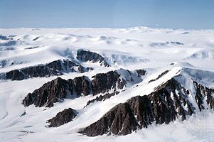
Ellesmere Island, the largest of the Queen Elizabeth Islands, is characterized by a rugged landscape that serves as the most mountainous region in the Canadian Arctic Archipelago. Its major geographical features include:
- Mountainous Terrain: The island features towering mountains, particularly in the north, and is home to Barbeau Peak, which stands at 8,583 feet (2,616 metres) as the highest point in Nunavut.
- Ice Fields and Glaciers: Large portions of the island are covered by extensive ice caps and glaciers. In the Arctic Ocean off the island’s northwestern coast, there are areas of floating shelf ice that have historically served as the source for Arctic ice islands.
- Coastline: The island possesses a deeply indented coastline.
- Northern Extremity: Cape Columbia, located at 83°07′ N, represents the northernmost point of Canada.
Sources
- Smith Sound — Encyclopædia Britannica
- Arctic - The North American Arctic — Encyclopædia Britannica
- William Baffin — Encyclopædia Britannica
- Baffin — Merriam-Webster
- Northwest Passage — Encyclopædia Britannica
- European exploration - The northern passages — Encyclopædia Britannica
- Ellesmere Island — Encyclopædia Britannica
- Arctic - Other glacier groups — Encyclopædia Britannica
- Ellesmere Island — Merriam-Webster
- Devon Island — Encyclopædia Britannica
Published on · 3 min read