Souris River
The Souris River originates in southeastern Saskatchewan, Canada.
Where does the Souris River originate, and through which regions does it flow?
The Souris River originates in southeastern Saskatchewan, Canada.1
From its source, the river flows southeastward into North Dakota in the United States, receiving drainage from the Moose Mountain and Coteau du Missouri regions. It then bends northward to reenter Canada, ultimately joining the Assiniboine River near Brandon, Manitoba. The river travels a total course of 600 miles (966 km) through a basin characterized by fertile soil deposited by the former glacial Lake Souris, supporting significant agricultural and mineral extraction activities.1
What is the significance of the Souris River in terms of water resources for North America?
The Souris River is a vital water resource for North America, primarily due to its role in supporting a highly productive agricultural region. Its 22,000-square-mile drainage basin is composed of fertile silt and clay deposits from the former glacial Lake Souris, which provide the foundation for the cultivation of hard, red spring wheat.1
Beyond agriculture, the river basin is significant for its natural resources. The region is rich in minerals, facilitating coal mining operations near Estevan and Bienfait in Saskatchewan and Minot in North Dakota. Additionally, the area supports oil extraction activities near Midale, Saskatchewan, and Virden, Manitoba.1
In North Dakota, the river system is a key component of the state’s hydrology, as it helps drain approximately two-fifths of the state’s land area. While the river is only partly navigable, its consistent flow and the surrounding fertile soils remain essential to the economic stability of the communities within its basin.21
What is the total length of the Souris River, and how does it compare to other rivers in North America?
The Souris River has a reported length of 600 miles (966 km) according to some sources, while others cite a length of 450 miles (724 km).13
When compared to the major river systems of North America, the Souris is relatively modest in scale. North America is characterized by vast, continental-scale drainage systems, such as the Mississippi River, the Great Lakes–St. Lawrence system, and the Mackenzie River, which drain immense areas of the continent. Unlike the long, primary rivers that originate in the Rocky Mountains or the Canadian Shield and travel great distances to reach the sea, the Souris functions as a tributary within the Assiniboine River basin. While it is a significant regional water source for agriculture and mineral extraction, it does not approach the length or discharge capacity of the continent’s major arterial rivers.41
How does the Souris River’s watershed contribute to the larger Missouri-Mississippi River system?
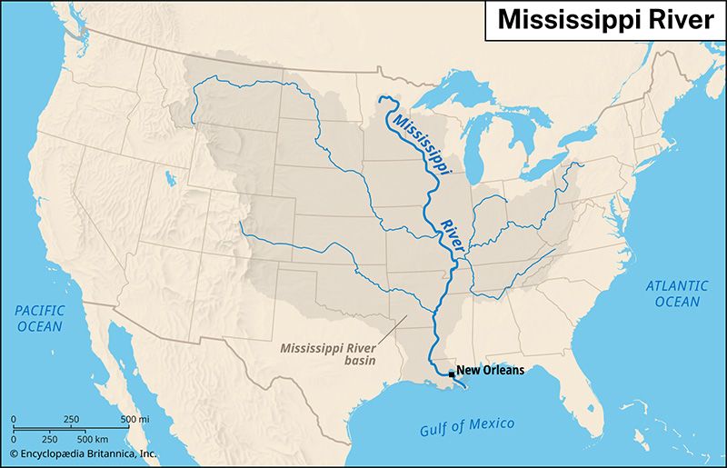
The premise that the Souris River contributes to the Missouri-Mississippi River system is inaccurate. The Souris River is actually a tributary of the Assiniboine River, which flows into the Red River at Winnipeg, Manitoba. From there, the water eventually drains northward into Lake Winnipeg and ultimately toward the Hudson Bay watershed, rather than southward into the Missouri-Mississippi system.15
The Souris River rises in southeastern Saskatchewan, flows through North Dakota, and reenters Canada to join the Assiniboine near Brandon, Manitoba. Its drainage basin, covering 22,000 square miles, is primarily significant for its fertile soil and agricultural productivity rather than as a feeder for the Mississippi basin.15
Sources
- Souris River — Encyclopædia Britannica
- North Dakota - Drainage and soils — Encyclopædia Britannica
- North America - Drainage — Encyclopædia Britannica
- Souris — Merriam-Webster
- Assiniboine River — Encyclopædia Britannica
- Assiniboia — Encyclopædia Britannica
Published on · 2 min read