Virgin Gorda Island
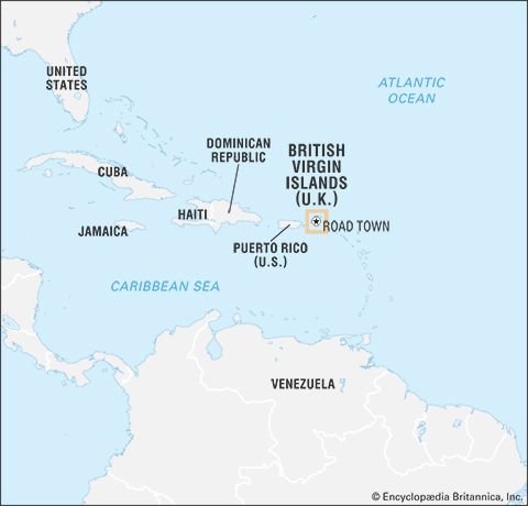
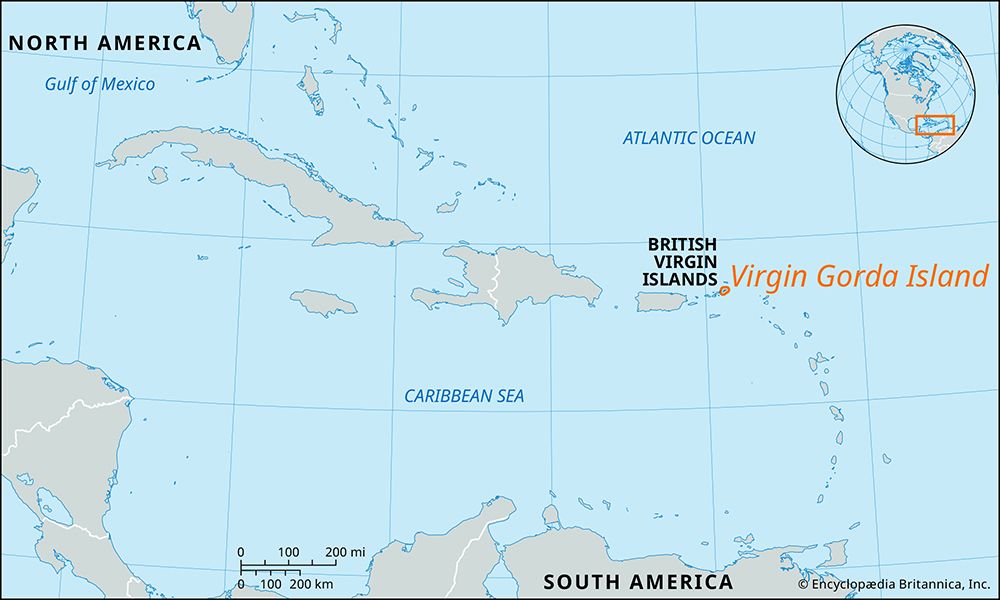
Virgin Gorda Island is one of the British Virgin Islands located in the West Indies, approximately 80 miles east of Puerto Rico east of Puerto Rico. Its name…
What is Virgin Gorda Island?
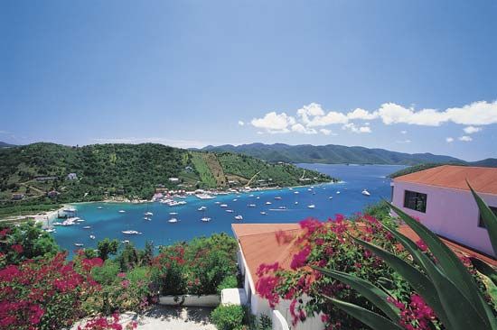
Virgin Gorda Island is one of the British Virgin Islands located in the West Indies, approximately 80 miles east of Puerto Rico east of Puerto Rico. Its name translates to “Fat Virgin,” and it covers an area of about 8.25 square miles.123
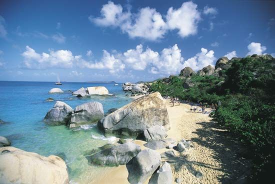
The island is characterized by a unique geography, consisting of two rectangular sections joined by a narrow spit of land. The southwest peninsula is notable for its flat terrain and massive granite boulders, some exceeding 30 feet in height. In contrast, the northern portion of the island is hilly, reaching an elevation of 1,359 feet at Virgin Peak.2
Historically settled by planters from Anguilla after 1680, the island’s economy today relies on agriculture and tourism. While it once featured copper mining at Copper Mine Point, it is now primarily recognized for its natural beauty and landscape.2
What are the famous Baths on Virgin Gorda?
The famous “Baths” on Virgin Gorda Island are a unique geological feature located on the island’s southwestern peninsula. This area is characterized by a landscape strewn with enormous granite boulders, some of which reach heights of more than 30 feet.2
These massive rocks create a series of sheltered sea pools, grottos, and tunnels along the shoreline, forming a distinctive natural environment that has become a primary attraction for the island’s tourism industry. The boulders are a striking contrast to the flat terrain of the peninsula and represent the unique physical geography that distinguishes this part of the British Virgin Islands.213
How were the British Virgin Islands formed geologically?
Geologically, the British Virgin Islands are an extension of the central fault-block mountain ranges of Puerto Rico, making them a part of the Greater Antilles. They rise from the continental shelf and are primarily composed of metamorphosed igneous and sedimentary rocks.1
In many areas, these foundational rock layers are overlain by limestone and alluvium. The islands are also surrounded by fringing coral reefs, with ancient elevated reefs ringing the main islands, reflecting a complex history of geological uplift and marine deposition. This structural composition is consistent with the broader tectonic development of the Caribbean Sea region, which has been shaped by long-term volcanic and tectonic activity.15
What other islands make up the British Virgin Islands?
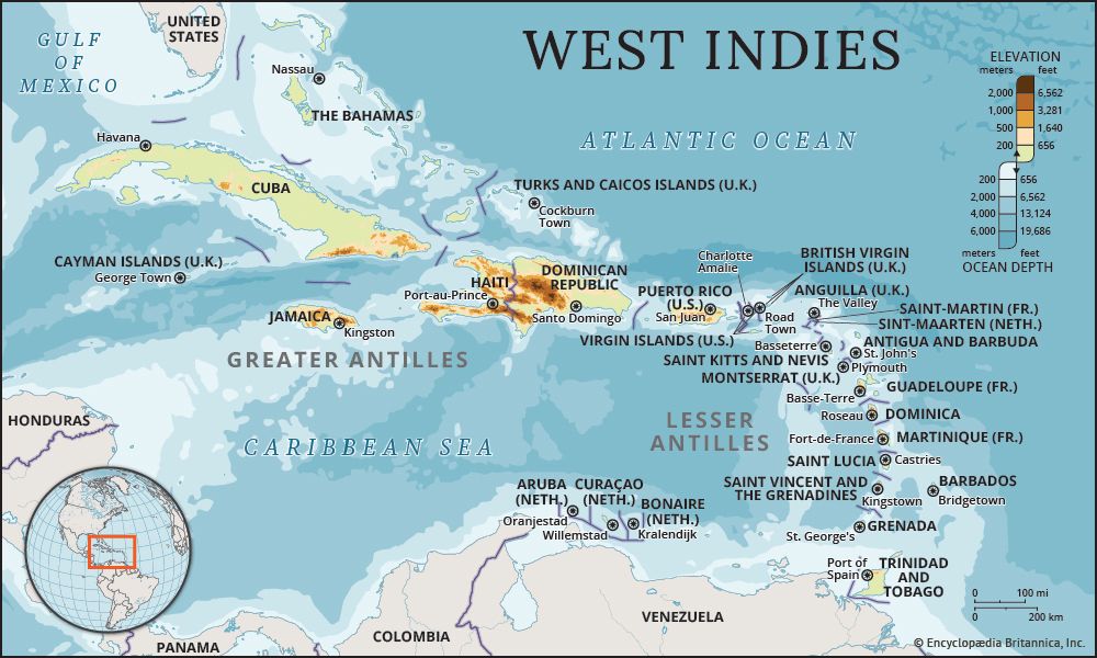
The British Virgin Islands consist of four primary islands and 32 smaller islands and islets. The four main islands are:
- Tortola
- Anegada
- Virgin Gorda
- Jost Van Dyke
In addition to these, the territory includes numerous smaller islands, such as Great Tobago, Salt, Peter, Cooper, Norman, Guana, Beef, Great Thatch, Little Thatch, and Marina Cay. Of the 32 smaller islands and islets, more than 20 remain uninhabited.2
Sources
- Virgin Gorda Island — Encyclopædia Britannica
- British Virgin Islands — Encyclopædia Britannica
- British Virgin Islands - Relief — Encyclopædia Britannica
- British Virgin Islands - Climate — Encyclopædia Britannica
- United States Virgin Islands - Land — Encyclopædia Britannica
- British Virgin Islands — Merriam-Webster
- Caribbean Sea - Geology — Encyclopædia Britannica
- North America - Mesozoic and Cenozoic orogenic belts — Encyclopædia Britannica
Published on · 2 min read