Banihal Pass
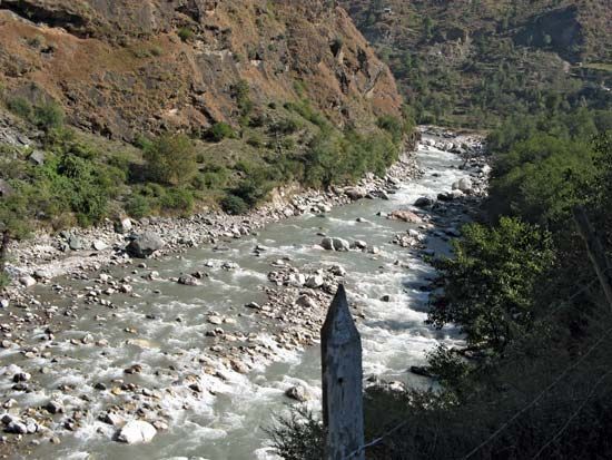
The Banihal Pass is a mountain pass located in the Pir Panjal Range within the Indian-administered union territory of Jammu and Kashmir. Situated at an…
What is Banihal Pass?
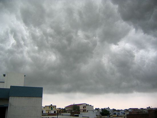
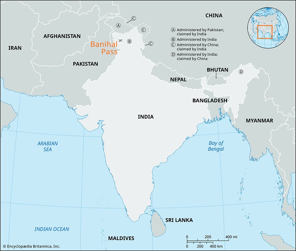
The Banihal Pass is a mountain pass located in the Pir Panjal Range within the Indian-administered union territory of Jammu and Kashmir. Situated at an elevation of 9,290 feet (2,832 meters) in the Doda district, its name is derived from a Kashmiri term meaning “blizzard”.1
Serving as the primary gateway to the Vale of Kashmir from the Indian plains, the pass is a critical transit point. While goods were historically transported across the pass by porters, modern travel is facilitated by the Jammu-Srinagar road, which traverses the pass via the Jawahar Tunnel. Due to its high altitude, the route can be subject to winter closures caused by heavy snowfall.1
What is the Pir Panjal Range?
The Pir Panjal Range is a prominent mountain system in the northern Indian subcontinent and serves as the westernmost outlier of the Lesser Himalayas.23
Spanning over 200 miles (320 km), the range extends from the Nilam River in Azad Kashmir through Jammu and Kashmir to the Beas River in Himachal Pradesh. It acts as a critical geographical barrier, separating the Jammu Hills to the south from the Vale of Kashmir, with the Great Himalayas lying further north.2
Key characteristics include:
- Elevation: The range rises sharply to an average height of over 13,000 feet (4,000 meters), with some peaks reaching 15,000 feet (4,600 meters).23
- Geology: Composed of an ancient core of granite, gneiss, quartz, and slate, the range was heavily glaciated during the Pleistocene Epoch.3
- Passes: Major crossings include the Banihal Pass and the Pir Panjal Pass.2
How does the Jawahar Tunnel work?
The Jawahar Tunnel functions as a critical transportation link that allows the Jammu-Srinagar road to bypass the high-altitude Banihal Pass in the Pir Panjal Range. Completed in 1959, it was constructed to transform a difficult cart road into an all-weather highway, providing a vital connection between Jammu and the Vale of Kashmir.14
At the time of its completion, the tunnel was recognized as one of the longest in Asia. By providing a passage through the mountain range, it replaced the need for goods to be transported over the pass by porters. However, despite its role in infrastructure, the road remains susceptible to severe weather, which can occasionally render the route impassable and lead to shortages of essential commodities in the valley.14
What is the geography of the Vale of Kashmir?
The Vale of Kashmir is an ancient, asymmetrical intermontane valley located in the northern Indian union territory of Jammu and Kashmir. Situated at an average elevation of 5,300 feet (1,620 meters), this basin is approximately 85 miles long and 20 miles wide.56
Geographically, the vale is defined by its dramatic surroundings:
- Boundaries: It is flanked to the southwest by the Pir Panjal Range and to the northeast by the western end of the Great Himalayas, with surrounding peaks rising between 12,000 and 16,000 feet.56
- Formation: Once occupied by a body of water known as Lake Karewa, the valley is now filled with lacustrine sediments and fertile alluvium deposited by the upper Jhelum River, which drains the region.56
- Climate: Sheltered from the full force of the southwest monsoon, the valley experiences a temperate climate with annual precipitation of about 30 inches.56
The valley serves as the population center of the region, housing the city of Srinagar and numerous scenic lakes, including Wular.5
Sources
- Banihal Pass — Encyclopædia Britannica
- Pir Panjal Range — Encyclopædia Britannica
- Jammu and Kashmir - The Pir Panjal Range — Encyclopædia Britannica
- Jammu and Kashmir - Transportation and communications — Encyclopædia Britannica
- Vale of Kashmir — Encyclopædia Britannica
- Kashmir - Land and people — Encyclopædia Britannica
- Jammu and Kashmir - The Vale of Kashmir — Encyclopædia Britannica
Published on · 3 min read