Barkly Tableland
The Barkly Tableland is a vast, grassy, undulating upland region in Australia that spans approximately 50,000 square miles (130,000 square km). Located south…
What is Barkly Tableland?
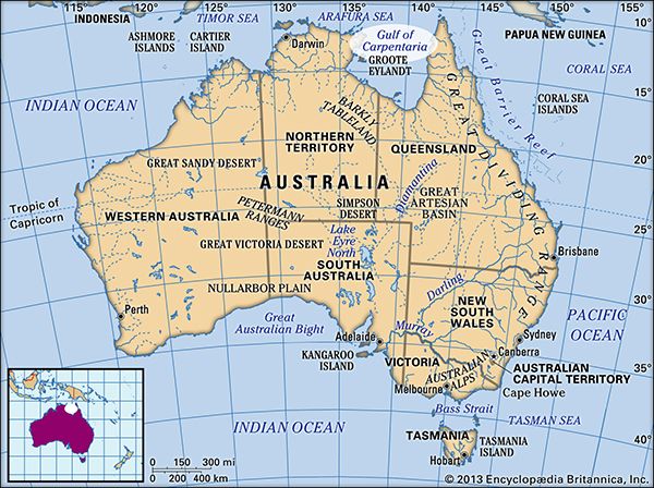
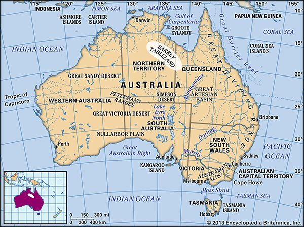
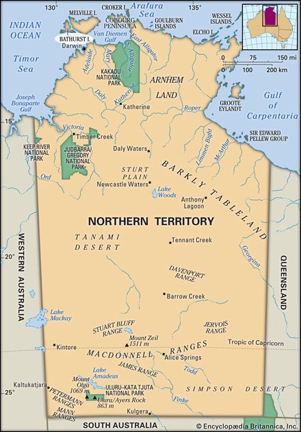
The Barkly Tableland is a vast, grassy, undulating upland region in Australia that spans approximately 50,000 square miles (130,000 square km). Located south of the Gulf of Carpentaria, it extends southeastward from Newcastle Creek in the Northern Territory to Camooweal, Queensland.1
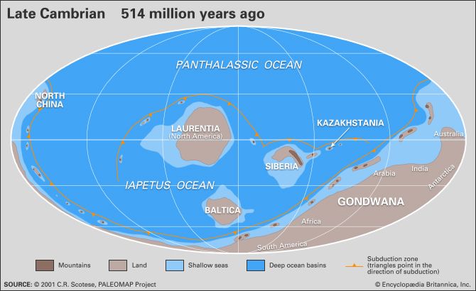
Geologically, the region is a high plain of remarkable flatness, characterized by Cambrian sedimentary rocks and deposits from the Neogene and Paleogene periods. While often described as a tableland, it is technically a high plain that was historically influenced by swampy conditions. The area has an average altitude of about 1,000 feet (300 meters) and is supported by seasonal water courses and subartesian water.21
The region was visited by Ludwig Leichhardt in 1845 and was later named by William Landsborough in honor of Sir Henry Barkly, a former governor of Victoria. Today, it is known for its large pastoral holdings and is traversed by the Barkly Highway.1
Who was Ludwig Leichhardt and what was his role in exploring Australia?
Ludwig Leichhardt (1813–1848) was a Prussian-born naturalist and explorer who became one of Australia’s earliest national heroes. After studying natural science in Europe, he arrived in Sydney in 1842 to pursue his ambition of exploring the Australian interior.3
Leichhardt is best known for his 1844–1845 expedition from the Darling Downs to Port Essington. Although his party was presumed dead, their successful return in 1845 was met with widespread acclaim, earning him significant financial rewards and international recognition, including the Patron’s medal of the Royal Geographical Society of London.3
His later efforts were less fortunate. A second expedition in 1846 failed, and his final attempt in 1848 to cross the continent resulted in his mysterious disappearance. Despite decades of search efforts, his fate remains unknown. Nevertheless, his expeditions were historically significant for providing early maps and identifying extensive regions suitable for settlement, which facilitated future colonial expansion.3
What are some other major plains or plateaus found in Australia?
Australia features a diverse range of plains and plateaus shaped by its ancient geological history. Beyond the Barkly Tableland, several other significant landforms define the continent’s interior and margins:
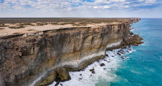
- Nullarbor Plain: A vast, flat limestone plateau covering approximately 100,000 square miles (260,000 square km). It is known for its lack of trees, extensive cave systems, and spectacular coastal cliffs along the Great Australian Bight.45
- Kimberley Plateau: Located in the far north of Western Australia, this is a rugged, multisectioned plateau characterized by deep gorges and ancient rock formations.6
- Murray Plain: Situated in the southeast, this region is developed on lime-rich deposits and features stabilized sand dunes and alluvial plains associated with the Murray River.47
- Carpentaria Plains: These plains form a lowland corridor in the north, consisting of rolling, lime-enriched soils and flat depositional areas related to ancient floodplains.7
- Yilgarn Block: A stable, gently undulating granite-gneiss plateau in southwestern Western Australia that has been subjected to weathering for hundreds of millions of years.6
These regions, along with various stony and sand-dune deserts, highlight the continent’s predominantly low-relief landscape, much of which is underlain by an ancient continental shield.486
How do subartesian water sources support life in arid regions like the Barkly Tableland?
Subartesian water sources are essential to life in arid regions like the Barkly Tableland because they provide a reliable supply of groundwater that remains unaffected by surface-level droughts. Unlike surface water, which is prone to high rates of evaporation in arid climates, these subsurface reservoirs occupy void spaces in soils or geologic strata, offering a stable resource for agricultural, stock, and domestic use.1012
By definition, subartesian water rises naturally in a well to a level significantly above the surrounding water table, though it does not flow to the surface on its own. Because it must be pumped to the surface, it requires infrastructure to access, but it serves as a critical lifeline in areas where dependable surface water is absent. While these aquifers are vital for sustaining enterprises that would otherwise be impossible, they are finite resources; excessive extraction that exceeds natural recharge rates can lead to a depletion of the water table, making future access increasingly difficult and expensive.131014
Sources
- Barkly Tableland — Encyclopædia Britannica
- Australia - The Western Plateau — Encyclopædia Britannica
- Ludwig Leichhardt — Encyclopædia Britannica
- South Australia - Relief — Encyclopædia Britannica
- Nullarbor Plain — Encyclopædia Britannica
- Kimberley Plateau — Merriam-Webster
- Australia - Tectonic framework — Encyclopædia Britannica
- Australia - The Interior Lowlands — Encyclopædia Britannica
- Western Australia - Relief — Encyclopædia Britannica
- Great Artesian Basin — Encyclopædia Britannica
- South Australia - Drainage — Encyclopædia Britannica
- subartesian — Merriam-Webster
- groundwater — Encyclopædia Britannica
- hydrologic sciences - Concern over groundwater quantity and quality — Encyclopædia Britannica
Published on · 3 min read