East River
The East River is not a river in the traditional sense, but rather a navigable tidal strait located in New York City. It connects the Upper New York Bay with…
What is East River?
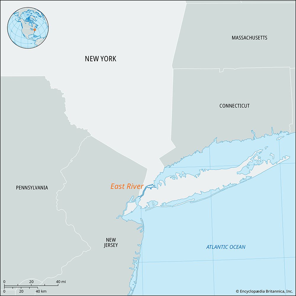
The East River is not a river in the traditional sense, but rather a navigable tidal strait located in New York City. It connects the Upper New York Bay with the Long Island Sound, effectively separating Manhattan from Brooklyn and Queens.123
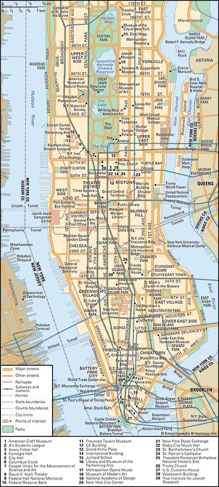
Spanning approximately 16 miles (26 km) in length, the strait is an estuary of the Atlantic Ocean. At its northern end, it links to the Hudson River via the Harlem River and Spuyten Duyvil Creek. The waterway is heavily utilized for transportation, spanned by numerous bridges—such as the Brooklyn and Queensboro bridges—and traversed by various tunnels. Several islands, including Roosevelt and Rikers, are situated within its waters.12
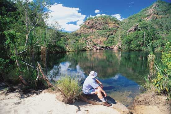
What is the difference between a river and a tidal strait?
A river is a natural, flowing watercourse that typically moves toward an ocean, sea, lake, or another river, driven by gravity and fluvial activity. In contrast, a tidal strait is a narrow passage of water that connects two larger bodies of water and is characterized by tidal currents that flow in both directions.41
The primary distinctions include:
- Flow Dynamics: Rivers are generally defined by a unidirectional flow of fresh water from a source toward a base level. A tidal strait, such as the East River, is dominated by the ebb and flow of tides, which can cause the water to move in alternating directions.41
- Water Composition: Rivers are primarily freshwater systems. Tidal straits often function as estuaries, where the mixing of fresh water and seawater creates a brackish environment.4
- Geological Origin: Rivers are agents of landscape evolution that carve their own channels. Tidal straits often form through the submergence of coastal valleys due to rising sea levels or tectonic activity.4
How did glaciers shape the geography of New York City?
The topography of New York City is largely a product of the glacial recession that occurred at the end of the Wisconsin Glacial Stage approximately 10,000 years ago. The immense power of the ice left behind distinct geological features that define the city’s landscape today:6
- Glacial Deposits: The city contains significant evidence of glacial activity, including great erratic boulders found in Central Park and deep kettle depressions located in Brooklyn and Queens.6
- Moraines: Long Island is framed by two major terminal moraines—the Harbor Hill and Ronkonkama Moraines—deposited by the Laurentide Ice Sheet between 22,000 and 18,000 years ago. These sediments were later reworked by coastal processes into the sandy barrier islands seen today.3
- Waterways: The retreat of the glaciers carved out the city’s surrounding waterways. The Hudson and East rivers, along with Spuyten Duyvil Creek and Arthur Kill, are essentially estuaries of the Atlantic Ocean formed during this period of glacial retreat.6
What are some famous bridges that cross the East River?
Several iconic bridges span the East River, serving as vital links between Manhattan, Brooklyn, and Queens. These structures include:
- Brooklyn Bridge: A 19th-century engineering marvel and the first to use steel for cable wire. It remains a celebrated National Historic Landmark.91
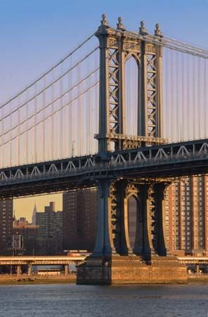
- Manhattan Bridge: A suspension bridge known for its double-deck design, which accommodates motor vehicles, subway lines, pedestrians, and cyclists.109
- Williamsburg Bridge: A major suspension bridge that, along with the Brooklyn and Manhattan bridges, forms the trio of iconic spans connecting Manhattan and Brooklyn.109
- Queensboro Bridge: A cantilever bridge that provides a critical connection to Queens.9
- Robert F. Kennedy Bridge: Formerly known as the Triborough Bridge, this complex structure connects Manhattan, Queens, and the Bronx.9
- Additional Spans: The river is also crossed by the Bronx-Whitestone Bridge, the Throgs Neck Bridge, and the Hell Gate railroad bridge.9
Sources
- East River — Encyclopædia Britannica
- East River — Merriam-Webster
- New York City - The city site — Encyclopædia Britannica
- river — Merriam-Webster
- river - Origin and classification — Encyclopædia Britannica
- New York - Land — Encyclopædia Britannica
- Pleistocene Epoch - Fluvial environments — Encyclopædia Britannica
- Quaternary - Landforms — Encyclopædia Britannica
- Manhattan Bridge — Encyclopædia Britannica
- Brooklyn Bridge — Encyclopædia Britannica
Published on · 3 min read