Karnataka Plateau
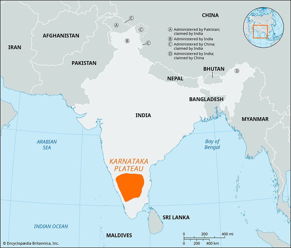
The Karnataka Plateau is an upland region in southern India with an average elevation of approximately 2,600 feet (800 meters). While some regional…
What is the average elevation of the Karnataka Plateau, and how does it compare to other plateaus in India?
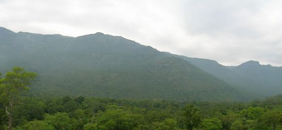
The Karnataka Plateau is an upland region in southern India with an average elevation of approximately 2,600 feet (800 meters). While some regional descriptions note specific plains within the plateau—known as the Maidan—averaging about 1,500 feet (450 meters), the broader plateau region is generally characterized by its higher average elevation.12
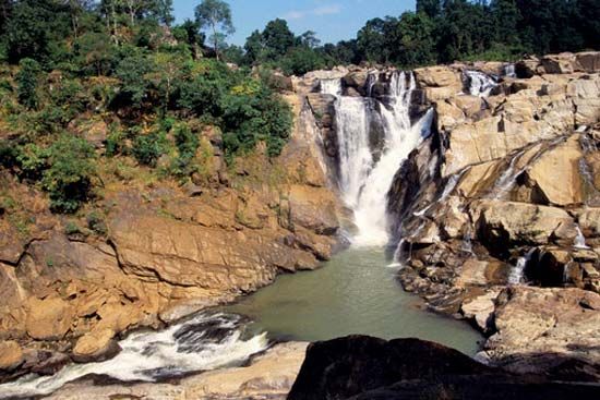
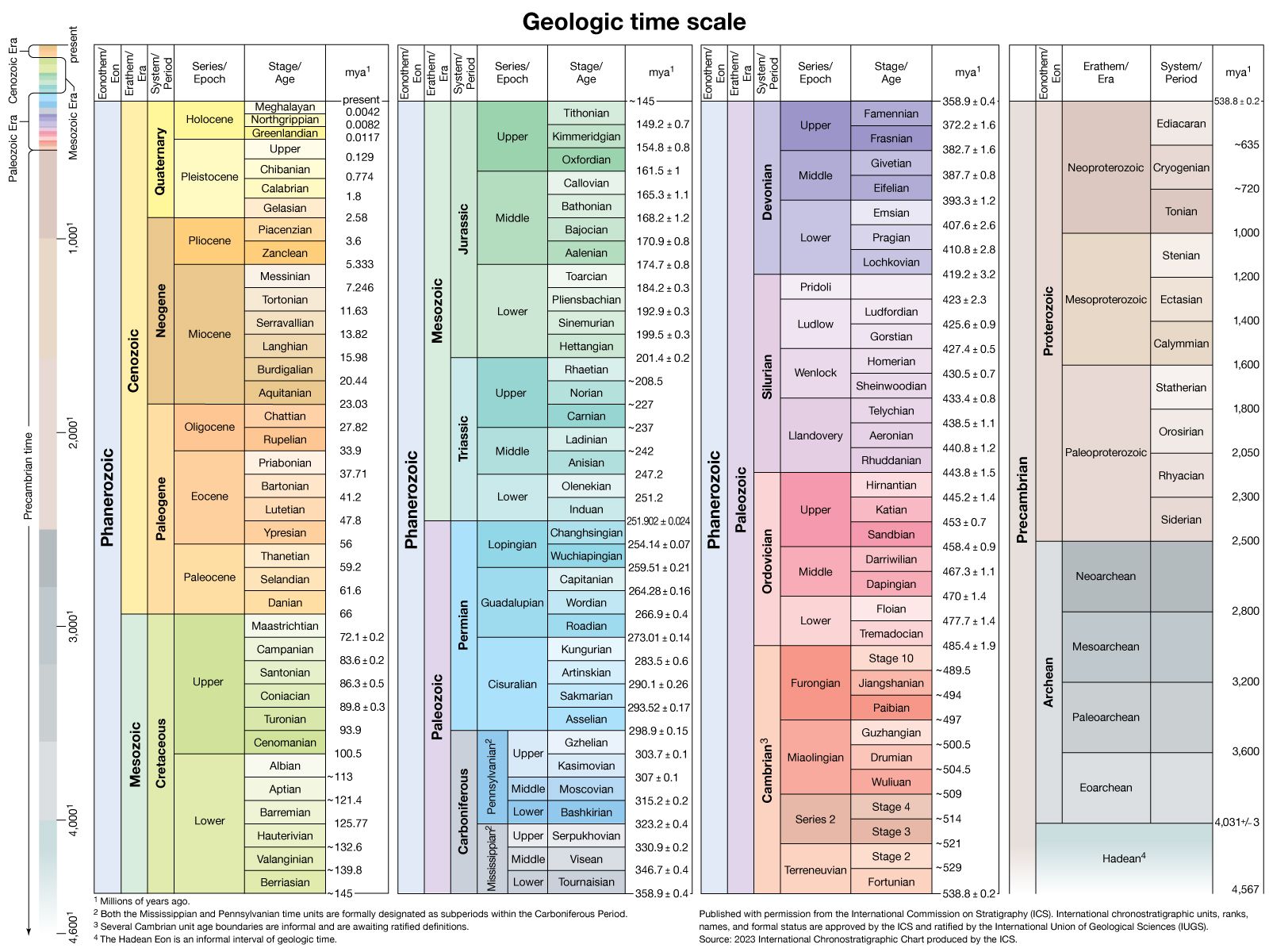
When compared to other major Indian landforms, such as the Chota Nagpur plateau, the Karnataka Plateau stands as a significant elevated feature. For instance, the Ranchi Plateau, which is the largest division of the Chota Nagpur plateau, has an average elevation of about 2,300 feet (700 meters). Both regions are composed of ancient Precambrian rocks, though they serve different economic and geographical roles within the country.31
What are some of the most important archaeological sites found on the Karnataka Plateau?
The Karnataka Plateau is home to several significant archaeological and historical sites that reflect the region’s rich cultural heritage and the influence of successive dynasties.
Key Archaeological and Historical Sites
- Hampi: Located in the Vijayanagara district, this UNESCO World Heritage site contains the ruins of the capital of the Vijayanagara empire. The site spans 16 square miles and features over 1,600 surviving structures, including royal enclosures, water management systems, and iconic temples like the Virupaksha Temple and the Vittala Temple, known for its musical pillars.
- Shravanabelagola: This town is renowned for its ancient monuments, including structures dating back to the Mauryan empire. It is most famous for the colossal 10th-century monolithic stone figure of the Jain saint Bahubali.
- Anegundi: Situated on the banks of the Tungabhadra River, this ancient village has a settlement history stretching back over 3,000 years and served as the first capital of the Vijayanagara dynasty.
These sites showcase a blend of architectural styles, including Dravidian, Indo-Islamic, and Vijayanagara, reflecting the diverse religious and political history of the plateau.
What is the geographical location and extent of the Karnataka Plateau in India?
The Karnataka Plateau is a prominent upland region located in the state of Karnataka in southern India. It covers an expansive area of approximately 73,000 square miles (189,000 square km).1
Geographically, the plateau is situated to the east of the Western Ghats, which act as a watershed for the region. The plateau is characterized by undulating, eastward-sloping plains known as the Maidan. To the south, the region merges with the Nilgiri Hills. The plateau is drained by several major river systems, including the Godavari, Krishna, Kaveri, Tungabhadra, Sharavati, and Bhima rivers.31
Composed of ancient Precambrian rocks, including crystalline schists, granites, and volcanic rock, the plateau serves as a vital economic and agricultural hub for the state.1
How does the Karnataka Plateau contribute to India’s biodiversity and wildlife conservation efforts?
The Karnataka Plateau plays a vital role in India’s biodiversity and conservation efforts by providing diverse habitats that support a wide range of flora and fauna. While the plateau itself is characterized by drier plains known as the Maidan, it is ecologically linked to the adjacent Western Ghats, a globally recognized biodiversity hot spot that contains over 30 percent of all plant, fish, bird, and mammal species found in India.10311
Conservation efforts in the region are supported by several key protected areas:
- National Parks: The state hosts significant protected zones, including Bandipur National Park in the south and Nagarhole National Park in the southwest, which serve as critical refuges for wildlife.10
- Wildlife Sanctuaries: The region includes various sanctuaries, such as the Dandeli Wildlife Sanctuary in the northwest, which help preserve natural corridors for animals.10
The plateau’s varied landscape—ranging from scrublands in the drier Maidan to the rich monsoon forests of the Malnad—provides essential habitats for species such as tigers, elephants, gaurs, leopards, bears, and wild boars. These conservation areas are essential for maintaining the genetic diversity of India’s wildlife.103
Sources
- Karnataka - Relief, drainage, and soils — Encyclopædia Britannica
- Chota Nagpur plateau — Encyclopædia Britannica
- Karnataka Plateau — Encyclopædia Britannica
- Karnataka - Cultural life — Encyclopædia Britannica
- Hampi — Encyclopædia Britannica
- Deccan — Encyclopædia Britannica
- Bhimbetka rock shelters — Encyclopædia Britannica
- list of cities and towns in India - Karnataka — Encyclopædia Britannica
- Karnataka — Encyclopædia Britannica
- Karnataka - Plant and animal life — Encyclopædia Britannica
- Western Ghats — Encyclopædia Britannica
- Karnataka: Top Questions — Encyclopædia Britannica
Published on · 3 min read