Pennine Alps
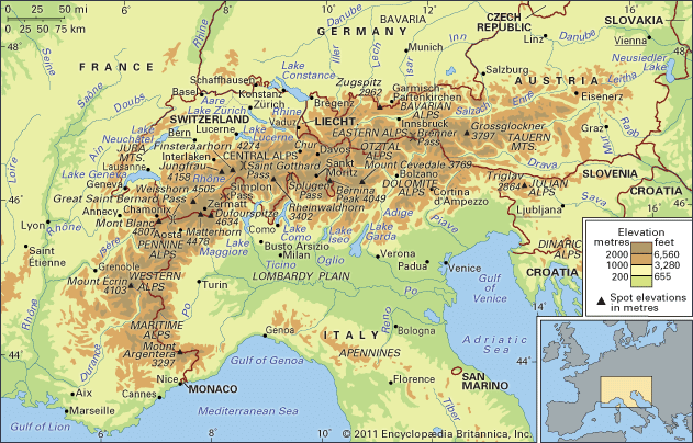
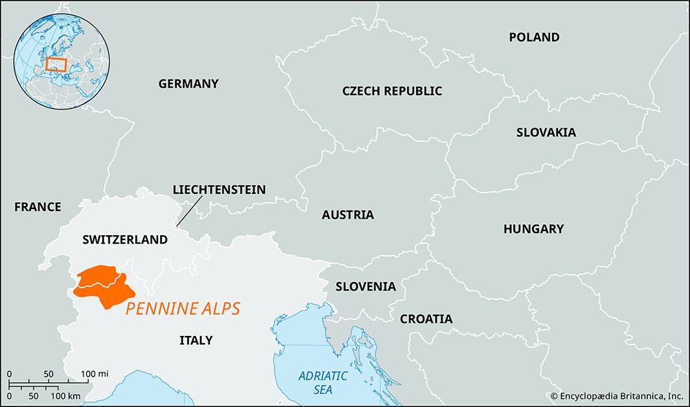
The Pennine Alps are a prominent segment of the central Alps situated along the border between Switzerland and Italy. This mountain range is bounded by the…
What is Pennine Alps?
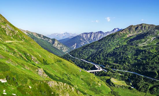
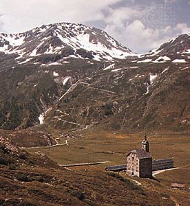
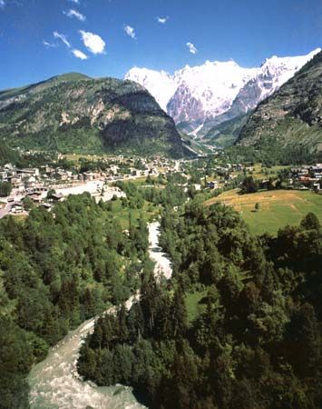
The Pennine Alps are a prominent segment of the central Alps situated along the border between Switzerland and Italy. This mountain range is bounded by the Great St. Bernard Pass and the Mont Blanc group to the southwest, the Upper Rhône Valley to the north, the Simplon Pass and Lepontine Alps to the northeast, and the Dora Baltea River valley to the south.12
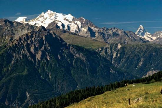
The region is home to some of the most iconic peaks in Europe, including the Matterhorn, the Weisshorn, and the range’s highest point, Dufourspitze (15,203 feet) in the Monte Rosa group. Known for its extensive glaciation, particularly on northern slopes near Zermatt, the area has long been a center for mountain climbing. In the Swiss Valais region, the range is also referred to as the Walliser Alpen or Alpes du Valais.1
How did glaciers shape the landscape of the Alps?
During the Quaternary Period, Alpine glaciation acted as a primary sculptor of the modern landscape, transforming the rugged mountains formed by the Alpine orogeny into their current iconic state.3
Erosional Features
Glaciers dramatically reshaped the terrain through intense erosion:
- U-Shaped Valleys: Glaciers widened and deepened existing V-shaped river valleys into characteristic parabolic or U-shaped profiles with steep, vertical walls.34
- Cirques and Horns: High-altitude erosion created cirques—amphitheatre-like basins—at the heads of valleys. When multiple cirques eroded a mountain from different sides, they left behind sharp, jagged peaks known as horns, such as the Matterhorn.34
- Arêtes and Cols: The narrow ridges remaining between parallel glacial valleys are called arêtes, with low saddles between them known as cols.4
Depositional and Hydrological Impacts
As glaciers retreated, they left behind significant geological markers:
- Lakes and Waterfalls: Ice-scoured valleys were often filled by deep, elongated lakes, such as Lake Constance. Additionally, “hanging valleys” left by retreating ice created dramatic waterfalls, such as the Staubbach.3
- Moraines and Sediment: Melting glaciers deposited vast quantities of sand, gravel, and moraines, which enriched the soil and facilitated human settlement in the valleys.35
What makes the Matterhorn a famous peak for climbers?
The Matterhorn is one of the most famous peaks in the Alps due to its striking, isolated horn-shaped appearance and its significant role in the history of mountaineering.78
Its fame as a climbing destination is largely tied to its dramatic first ascent on July 14, 1865, led by the British explorer Edward Whymper. This event was a landmark in the development of mountaineering as a sport, though it was marked by tragedy when four members of the party fell to their deaths during the descent. Just three days later, a party of Italian climbers from the village of Valtournanche successfully scaled the peak from the Italian side, further cementing the mountain’s status as a premier challenge for climbers.79
Today, the Matterhorn remains a highly popular destination for summer ascents, particularly from the village of Zermatt, Switzerland. While the Swiss side is generally considered less difficult than the grand, terraced walls of the Italian slope, the mountain continues to be recognized globally for its iconic profile and historical prestige.7
How do mountain ranges like the Alps form over time?
Mountain ranges like the Alps form through a complex, long-term process known as orogeny, primarily driven by plate tectonics.
The Process of Mountain Building
Mountain ranges typically arise at convergent plate boundaries where tectonic plates collide. This process involves several key stages:
- Sedimentation: Over millions of years, vast quantities of marine sediments—such as limestone and shale—accumulate in oceanic basins like the ancient Tethys Sea.1011
- Compression and Folding: As continents move toward each other, the intense pressure causes these deep layers of rock to crumple, fold, and fault. This compression forces the crust to thicken and rise, creating high-relief mountain belts.12133
- Uplift: Continued tectonic pressure, often involving the subduction of one plate beneath another, pushes crystalline bedrock and sedimentary layers to great elevations.311
Shaping the Landscape
Once uplifted, the mountains are continuously modified by external forces:
- Erosion: Rivers and weather wear down weaker rocks, while resistant crystalline rocks often remain to form the highest peaks.3
- Glaciation: During periods like the Quaternary, glaciers carve deep U-shaped valleys, sharp horns, and cirques, further defining the rugged topography we see today.1211
Sources
- Pennine Alps — Encyclopædia Britannica
- Pennine Alps — Merriam-Webster
- Alps - Geology — Encyclopædia Britannica
- glacial landform - Cirques , tarns, U-shaped valleys, arêtes, and horns — Encyclopædia Britannica
- Pleistocene Epoch - Glaciation — Encyclopædia Britannica
- glacial landform — Encyclopædia Britannica
- Matterhorn — Encyclopædia Britannica
- mountaineering - History — Encyclopædia Britannica
- Exploring 7 of Earth’s Great Mountain Ranges - Alps — Encyclopædia Britannica
- Alpine orogeny — Encyclopædia Britannica
- Tethys Sea — Encyclopædia Britannica
- plate tectonics - Mountain building — Encyclopædia Britannica
- mountain - Geomorphic characteristics — Encyclopædia Britannica
Published on · 3 min read