Shoshone River
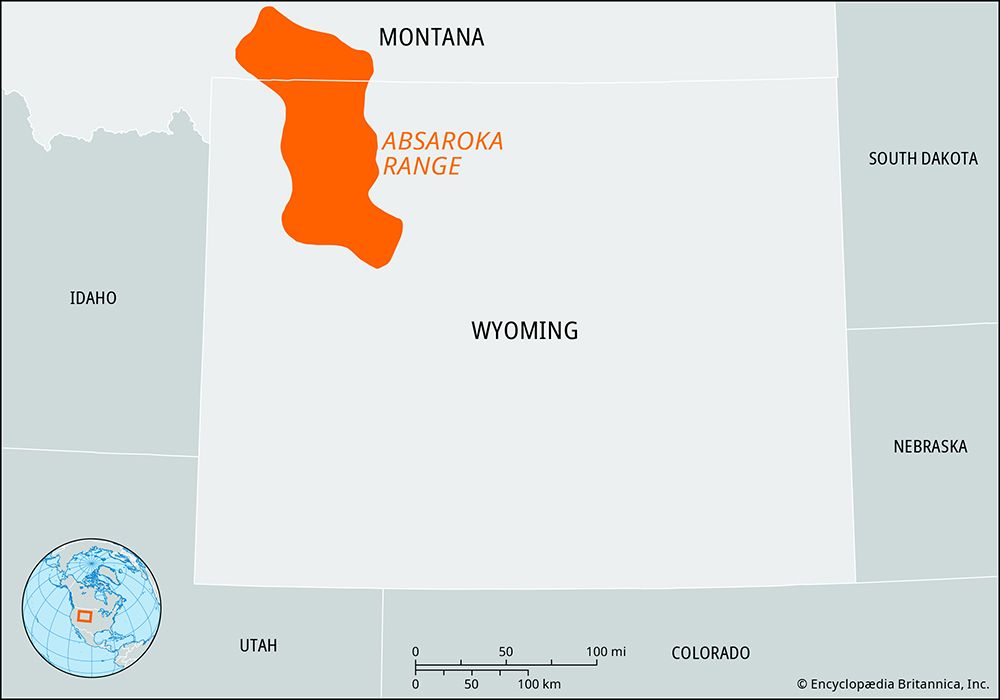
The Shoshone River is a 100-mile-long (160 km) waterway located in Wyoming, U.S. It originates in the Absaroka Range within Yellowstone National Park, formed…
What is Shoshone River?
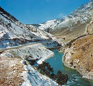
The Shoshone River is a 100-mile-long (160 km) waterway located in Wyoming, U.S. It originates in the Absaroka Range within Yellowstone National Park, formed by the confluence of its North and South forks. The river flows northeast, passing through the towns of Cody and Lovell before joining the Bighorn River at Kane, near the Montana border.1
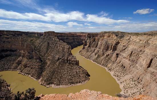
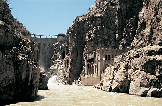
The river is named for the Shoshone people. Near Cody, the river is impounded by the Buffalo Bill Dam, which creates the Shoshone reservoir; this infrastructure is a key component of a regional power and irrigation project located at the eastern end of Shoshone Canyon. While some sources note a length of 120 miles, the river is consistently identified as a northeastern-flowing tributary of the Bighorn River in northwestern Wyoming.12
Who are the Shoshone people?
The Shoshone are a North American Indigenous group whose traditional territory spanned from southeastern California and the Great Basin into Idaho and Wyoming. They are linguistically part of the Uto-Aztecan family and are historically categorized into four groups:
- Western Shoshone: Primarily nomadic, they lived in family bands and subsisted on wild plants, small mammals, and insects.
- Northern Shoshone: Mounted hunters who adopted Plains Indian cultural traits, such as the use of tepees.
- Wind River Shoshone: Also mounted buffalo hunters, they are closely linked to the Northern group. Sacagawea, the guide for the Lewis and Clark Expedition, is believed to have belonged to one of these two groups.
- Comanche: A group that split from the Wind River Shoshone after acquiring horses and migrated south into Texas.
By the early 21st century, there were approximately 41,000 descendants of these groups.
What is the purpose of the Buffalo Bill Dam?
The Buffalo Bill Dam serves as a critical component of a regional power and irrigation project located at the eastern end of Shoshone Canyon in Wyoming. By impounding the Shoshone River, the dam creates the Shoshone reservoir, which provides the necessary water storage to support local agricultural irrigation and hydroelectric power generation.1
What are some other major rivers in Wyoming?
Because the Continental Divide crosses the state, Wyoming serves as the headwaters for several major North American drainage systems, including the Colorado, Columbia, and Missouri rivers.5
Key rivers in Wyoming include:
- Snake River: Rising in the mountains near Yellowstone National Park, it is the largest tributary of the Columbia River.6
- Bighorn River: A major tributary of the Yellowstone River, it is known as the Wind River in its upper basin.3
- North Platte River: A primary arm of the Platte River, it flows through Casper and is vital for irrigation and power projects.7
- Little Bighorn River: A river flowing north from Wyoming into the Bighorn River.8
- Shoshone River: A tributary of the Bighorn River that supports significant irrigation projects.3
Sources
- Shoshone River — Encyclopædia Britannica
- Shoshone — Merriam-Webster
- Snake River — Encyclopædia Britannica
- Shoshone — Encyclopædia Britannica
- Wyoming - Drainage — Encyclopædia Britannica
- Bighorn River — Encyclopædia Britannica
- Little Bighorn — Merriam-Webster
- Platte River — Encyclopædia Britannica
- North Platte River — Encyclopædia Britannica
Published on · 2 min read