Yampa River
The Yampa River is a river in the western United States that originates in the Rocky Mountains within the White River National Forest of northwestern…
What is Yampa River?
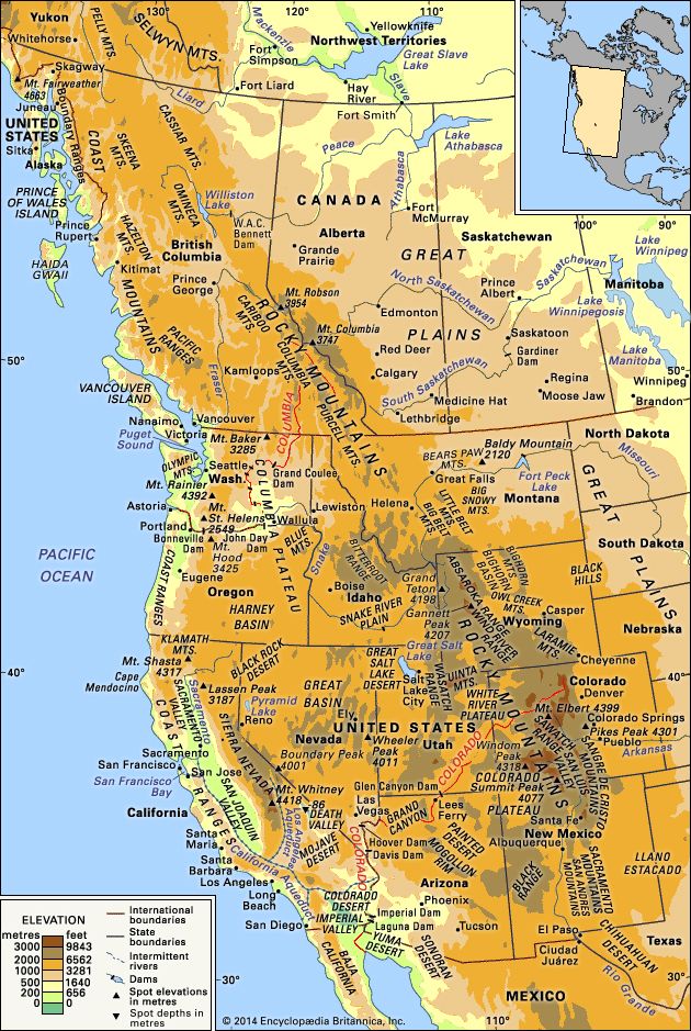
The Yampa River is a river in the western United States that originates in the Rocky Mountains within the White River National Forest of northwestern Colorado1. Spanning approximately 250 miles (400 km), it drains about 9,500 square miles across parts of Colorado and Wyoming.1
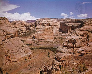
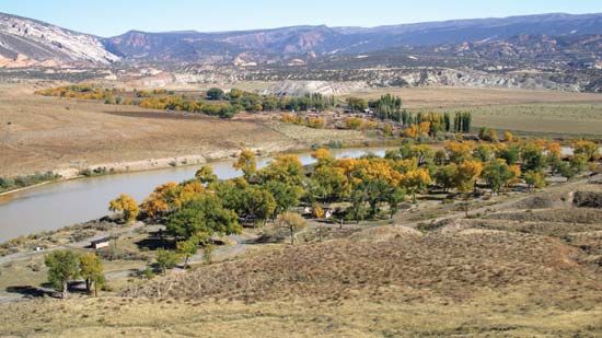
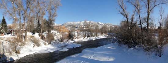
The river flows north past Steamboat Springs before turning west to carve through the 1,600-foot-deep Yampa Canyon within Dinosaur National Monument. It eventually joins the Green River near the Utah border. The Yampa’s primary tributary is the Little Snake River, and the Yampa itself serves as a major tributary to the Green River. Its name is believed to be derived from an Indigenous group.12
What makes Dinosaur National Monument unique?
Dinosaur National Monument is unique for its combination of world-class paleontological resources and dramatic geological landscapes. Established in 1915, it preserves an extraordinary fossil quarry where thousands of dinosaur bones were discovered, including those of Stegosaurus, Apatosaurus, and Allosaurus.3
A defining feature of the monument is the Dinosaur Quarry building, which incorporates a wall of the original fossil bed, allowing visitors to view bones still embedded in the rock. Beyond its paleontology, the monument protects the scenic canyons of the Green and Yampa rivers. These rivers have carved through 20 distinct, colorful geologic formations, exposing approximately 20,000 feet of strata in deeply incised meanders. The area also serves as a cultural site, containing petroglyphs that provide evidence of prehistoric human life.31
How do rivers shape deep canyons over time?
Rivers shape deep canyons primarily through the process of vertical entrenchment, where the kinetic energy of a swift, sediment-laden current cuts downward into bedrock over millions of years. This process is often accelerated by regional tectonic uplift, which increases the river’s gradient and reinvigorates its erosive power, a phenomenon known as rejuvenation.45678
While the river acts as the primary cutting tool, the dramatic width and steep, angular walls of a canyon are maintained by secondary forces. In arid and semiarid climates, the lack of frequent rainfall prevents the rapid weathering and softening of canyon walls that would otherwise occur in wetter environments. Instead, processes such as wind, temperature fluctuations, and chemical erosion work in tandem with the river to widen the chasm and sculpt its distinct, layered topography.568
Canyons may also form through specific geological histories:
- Antecedent canyons: Formed when a river maintains its course while the land beneath it rises, cutting through the rising structure.7
- Superimposed canyons: Formed when a river, initially flowing over a layer of younger sediment, eventually cuts down into a complex, resistant bedrock structure hidden beneath.7
What is the importance of the Green River to the Colorado River system?
The Green River is a vital component of the Colorado River system, serving as its primary tributary. Spanning 730 miles, it drains approximately 45,000 square miles of the western United States, significantly contributing to the overall water volume of the basin.2
Its importance to the system is highlighted by several key factors:
- Water Management and Storage: The Green River is home to the Flaming Gorge Dam, one of the major multiple-storage projects in the upper basin. This infrastructure is essential for regulating flow and managing water resources across the states of Wyoming and Utah.9
- Hydrological Contribution: By joining the Colorado River in Canyonlands National Park, the Green River provides a substantial portion of the water that flows into the lower basin, which supports the agricultural and municipal needs of millions of people in the American Southwest.29
- Geological and Ecological Significance: The river carves through dramatic landscapes, including Dinosaur National Monument, and its flow patterns are central to ongoing efforts to mimic natural spring floods, which help redistribute sediment and maintain the health of the river’s ecosystem.29
Sources
- Yampa River — Encyclopædia Britannica
- Green River — Encyclopædia Britannica
- Dinosaur National Monument — Encyclopædia Britannica
- river - Valleys and canyons — Encyclopædia Britannica
- river - Formation of canyons and gorges — Encyclopædia Britannica
- How was the Grand Canyon formed? — Encyclopædia Britannica
- canyon — Encyclopædia Britannica
- Grand Canyon - Geologic history — Encyclopædia Britannica
- Colorado River - Economic development — Encyclopædia Britannica
- Green River — Encyclopædia Britannica
Published on · 3 min read