Bago Mountains
The Bago Mountains are a mountain range located in south-central Myanmar. Stretching 270 miles (435 km) in a north-south direction, the range is situated…
What is Bago Mountains?
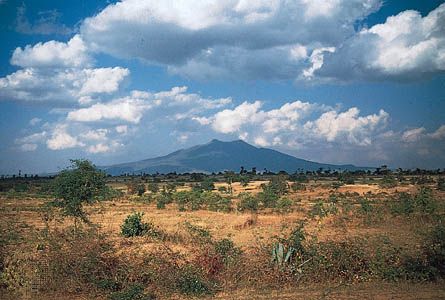
The Bago Mountains are a mountain range located in south-central Myanmar. Stretching 270 miles (435 km) in a north-south direction, the range is situated between the Irrawaddy and Sittang rivers, eventually terminating in a ridge at Yangon.1
The mountains maintain an average elevation of approximately 2,000 feet (600 metres). Their highest point is Popa Hill, an extinct volcano in the north that reaches 4,981 feet (1,518 metres).1
The region is economically significant for the extraction of teak and other tropical hardwoods, particularly in the eastern section. Additionally, local ethnic minorities engage in shifting agriculture, cultivating crops such as upland rice, corn, and millet. Historically, the range served as a refuge for communist insurgents during the 1960s.1
What is the significance of Mount Popa in local culture?
Mount Popa holds profound significance in local culture as a central site of spiritual importance in Myanmar. It is widely revered as the sacred dwelling place of the 37 nats, or spirits, which form a foundational element of traditional Burmese folk religion.2
Rising to 4,981 feet (1,518 metres) at the northern end of the Bago Mountains, this extinct volcano serves as a major pilgrimage destination for those honoring these spirits.21
How does shifting agriculture impact the environment in Myanmar?
In Myanmar, shifting agriculture—often referred to as slash-and-burn agriculture—has significantly altered the natural landscape, particularly within the country’s extensive hill and plateau regions.34
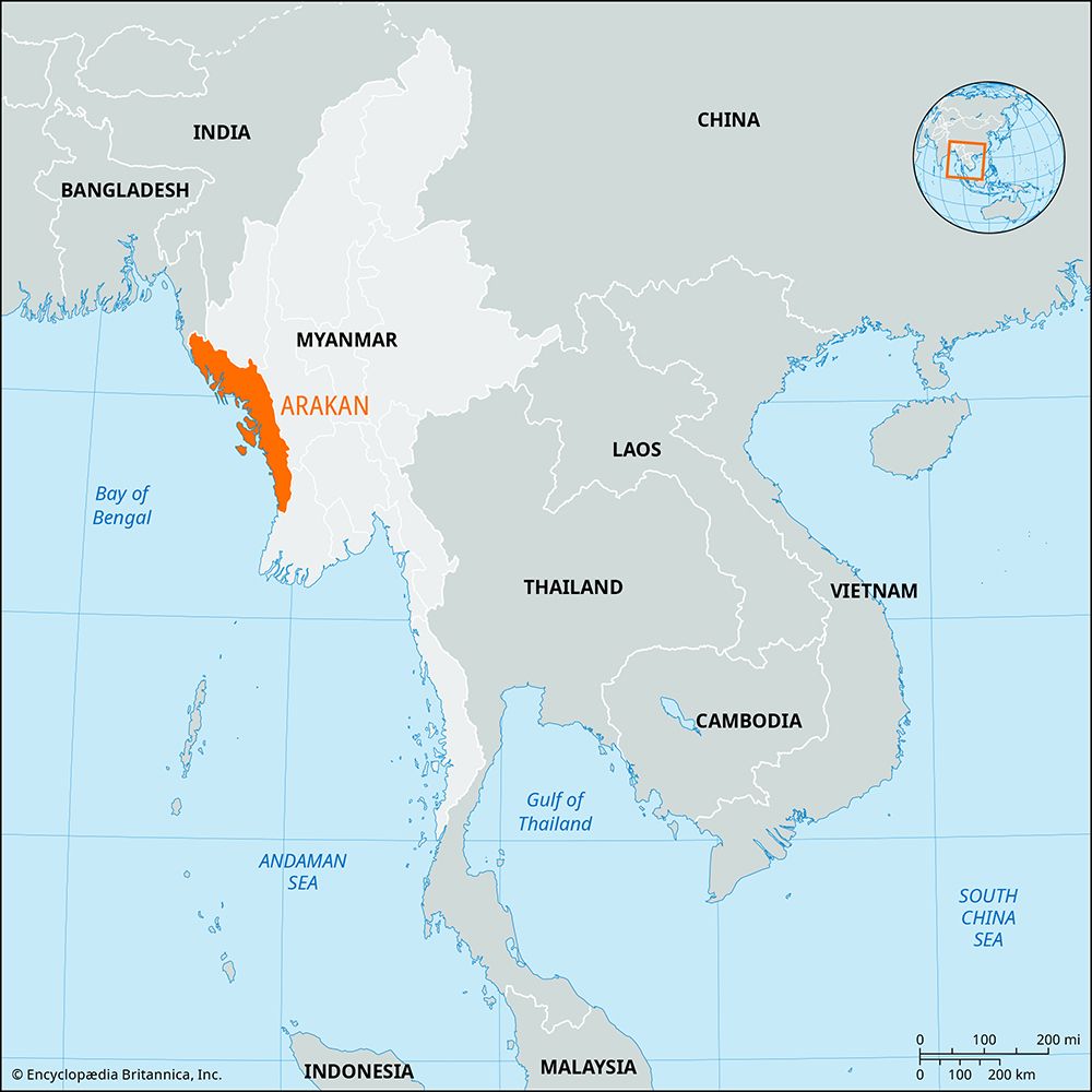
The primary environmental impact of this practice is the destruction of native vegetation. In areas such as the Arakan region, the natural hillside evergreen forests have been cleared over wide areas to make room for crops like rice, yams, and millet. Once the original forest cover is removed, the land is frequently unable to regenerate its primary state, often being replaced by a dense, less ecologically diverse tangle of bamboo.35
Beyond localized clearing, shifting cultivation contributes to broader deforestation trends across Southeast Asia. While commercial logging and the demand for fuelwood are also major drivers of forest loss, shifting agriculture remains a significant factor in the replacement of virgin forests with secondary growth. Despite efforts in social forestry and reforestation, these programs have not yet been sufficient to halt the rapid denuding of the landscape.4
What are the main characteristics of the Irrawaddy River?
The Irrawaddy River is the principal waterway of Myanmar, stretching approximately 1,350 miles (2,170 km) entirely within the country’s borders. It serves as the nation’s historical, cultural, and economic heartland.6
Physical Characteristics
- Formation: The river originates from the confluence of the Nmai and Mali rivers, which rise in the glaciers of northern Myanmar.7
- Course: The river flows through three distinct defiles (gorges) between Myitkyina and Mandalay. Its path includes a broad course through the central dry zone and a lower valley flanked by the Arakan and Pegu Mountains.7
- Delta: The river terminates in a large delta that extends into the Andaman Sea, growing at a rate of about 165 feet (50 metres) per year due to heavy sediment deposits.7
- Climate: The basin is dominated by the South Asia summer monsoon, with heavy rainfall occurring between May and October.8
Economic Importance
The river is a vital commercial artery. While the main channel is used for transport, its basin—particularly through tributaries like the Mu River—supports extensive irrigation for crops such as rice, cotton, and peanuts.79
Sources
- Bago Mountains — Encyclopædia Britannica
- Popa Hill — Encyclopædia Britannica
- Myanmar - Agriculture, forestry, and fishing — Encyclopædia Britannica
- Arakan — Encyclopædia Britannica
- Southeast Asia - Plant life — Encyclopædia Britannica
- Irrawaddy River — Encyclopædia Britannica
- Irrawaddy River - Physiography — Encyclopædia Britannica
- Irrawaddy River - History — Encyclopædia Britannica
- Irrawaddy River - Climate — Encyclopædia Britannica
- Irrawaddy River - Irrigation — Encyclopædia Britannica
Published on · 3 min read