Delta
Deltas significantly influence surrounding geography and topography by acting as dynamic depositional plains that extend beyond the natural coastline. Their…
How do deltas influence the surrounding geography and topography?
Deltas significantly influence surrounding geography and topography by acting as dynamic depositional plains that extend beyond the natural coastline. Their formation is a continuous process where rivers deliver sediment faster than marine processes—such as waves, tides, and currents—can remove it.1234
The influence of a delta on the landscape includes:
- Topographic Modification: Deltas create low-lying, flat plains that often feature distinct zones, including the upper delta plain, lower delta plain, and the subaqueous delta. These areas are characterized by complex vertical and horizontal sequences of silts, clays, and sands.43
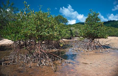
- Landform Creation: The interaction between riverine and marine energy shapes the coastline. For example, river-dominated systems create irregular, digitate shapes, while wave-dominated deltas often result in smooth, cuspate margins. Tide-dominated deltas frequently feature funnel-shaped configurations with extensive tidal flats and mangrove swamps2.25
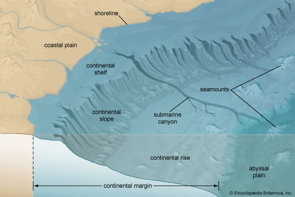
- Dynamic Evolution: Deltas are not static; they shift over time as river channels change course, abandoning old lobes and building new ones. This movement continuously reshapes the local environment and the continental shelf.63
What are some famous examples of river deltas around the world?
River deltas are diverse landforms shaped by the interaction between river-borne sediment and marine energy. Here are some of the most prominent examples:
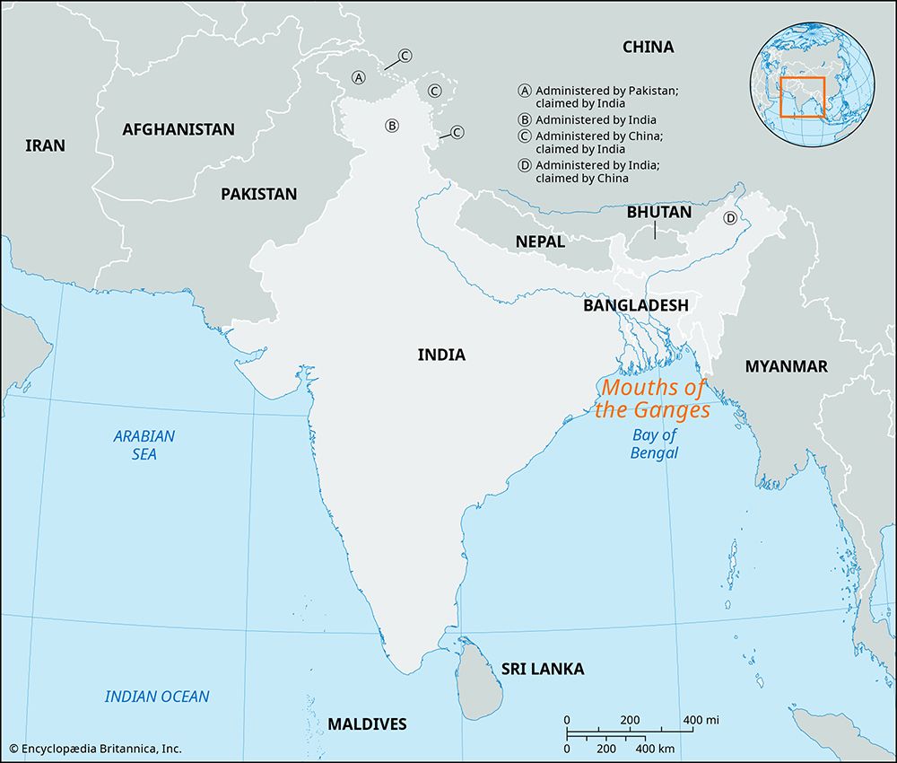
- Ganges-Brahmaputra Delta: Located in India and Bangladesh, this is one of the world’s largest and most active deltas. It is characterized by a vast network of distributary channels and is home to the Sundarbans, an expansive region of tidal mangrove forests protected as a UNESCO World Heritage site.73
- Mississippi Delta: A major North American delta that has built a massive cone of sediment into the Gulf of Mexico. Its morphology is heavily influenced by human engineering, including extensive levees and dams that have altered its natural sediment distribution.83
- Nile Delta: Situated in Egypt, this delta is a classic example of a system with a low tidal range, resulting in a well-developed upper delta plain. It has been a center of human civilization for millennia and is now crisscrossed by a complex system of irrigation canals.93
- Mekong Delta: Located in southern Vietnam, this delta covers approximately 25,000 square miles. It features a mix of swampy lowlands and fertile plains, with its channel patterns influenced by the high wave energy of the surrounding sea.310
What are the main types of river deltas and how do they differ?
Deltas are classified based on the balance between fluvial sediment supply and the energy of the marine environment. They are generally divided into two principal classes: high-constructive and high-destructive.5
High-Constructive Deltas
These form when river-driven deposition dominates over marine processes. They typically take two forms:
- Elongate: Characterized by a “bird-foot” shape, such as the modern Mississippi River delta. These have high mud content and tend to subside rapidly.5
- Lobate: Exemplified by older Holocene deltas of the Mississippi, these feature a broader shape due to a large sediment supply.5
High-Destructive Deltas
These form where high shoreline energy reworks river sediment via waves or tides:
- Wave-dominated: Sediment is reworked into arcuate sand barriers near the river mouth, as seen in the Nile and Rhône deltas.5
- Tide-dominated: Tidal currents mold sediment into linear, radiating sandy units. These often feature extensive tidal flats and mangrove swamps.5
Coarse-Grained Deltas
Deltas composed of gravel and sand are classified as:
- Fan deltas: Formed where an alluvial fan develops directly into standing water.5
- Braid deltas: Formed by the progradation of a braided fluvial system, characterized by deeper, more sustained flow than typical alluvial fans.5
What is a river delta and how does it form?
A delta is a depositional landform created where a river enters a body of standing water, such as an ocean or lake. The term, first coined by the historian Herodotus, refers to the sediment accumulation at a river’s mouth that causes the shoreline to prograde, or advance, into the water.3
How Deltas Form
Delta formation is a dynamic process governed by the balance between the volume of sediment delivered by a river and the energy of the marine environment at the river mouth.3
- Sediment Delivery: As a river reaches a standing body of water, its velocity decreases, causing it to lose its power to transport sediment. This sediment settles, building up the delta.31
- The Battle of Forces: If the river delivers sediment faster than marine processes (like waves, tides, and currents) can remove it, the delta grows. If marine energy is high, it may disperse the sediment, preventing significant accumulation.31
- Stratification: Over time, this process creates a distinct vertical sequence of deposits:
Sources
- river - Deposits and stratigraphy — Encyclopædia Britannica
- delta — Encyclopædia Britannica
- river - Deltas — Encyclopædia Britannica
- river - Deltas and time — Encyclopædia Britannica
- river - Classification of deltas — Encyclopædia Britannica
- coastal landforms - Deltas — Encyclopædia Britannica
- Ganges River - Physiography — Encyclopædia Britannica
- Mississippi River - Physiography — Encyclopædia Britannica
- Egypt - The Nile valley and delta — Encyclopædia Britannica
- river - Morphology of deltas — Encyclopædia Britannica
- Mekong River - Physiography — Encyclopædia Britannica
- Mekong River - Physical features — Encyclopædia Britannica
Published on · 4 min read