Digul River
The Digul River is a significant waterway located on the island of New Guinea in the province of Papua, Indonesia.
What is Digul River?
The Digul River is a significant waterway located on the island of New Guinea in the province of Papua, Indonesia.12
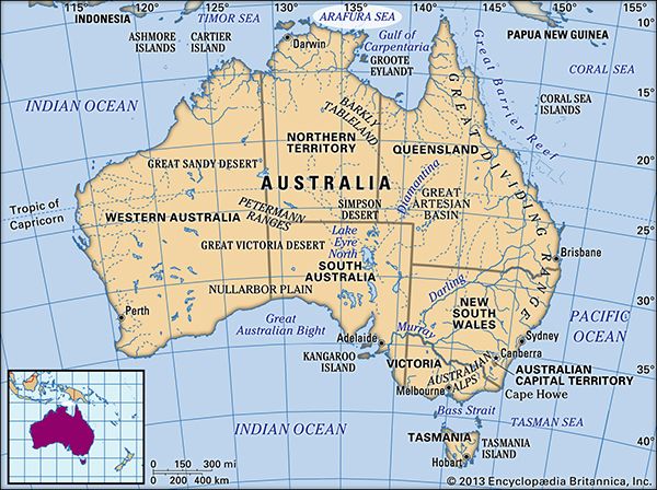
Rising on the southern slopes of the Star Mountains, the river flows approximately 326 miles (525 km) in a southwesterly direction. It traverses a low-lying region characterized by extensive swamps, particularly during the rainy season, before emptying into the Arafura Sea just north of Yos Sudarso Island. The river serves as an important drainage feature for western New Guinea and is navigable for large vessels up to the town of Tanahmerah, located about 200 miles (320 km) upstream.12
What is the geography of the island of New Guinea?
New Guinea, the world’s second-largest island, features a diverse and rugged geography shaped by the collision of the Australian Plate and the Pacific Plate.34
Topography and Relief
The island is dominated by an unbroken central mountain chain extending from the northwest to the southeast. These mountains reach elevations exceeding 13,000 feet (4,000 meters), with Jaya Peak in Indonesia serving as the highest point at 16,024 feet (4,884 meters). This mountainous zone includes glaciated summits, extinct volcanoes, and fertile highland basins.43
To the south lies the Fly-Digul shelf, a vast, geologically stable, and swampy lowland plain drained by major rivers like the Fly and Digul. In contrast, the north coast drops sharply to the sea and features a complex, unstable volcanic arc.34
Climate and Environment
The climate is tropical, with high rainfall—particularly on the southern slopes of the central highlands, which can exceed 300 inches annually, making the region one of the wettest places on Earth. The landscape supports dense rainforests, mangrove swamps, and diverse flora, including sago and nipa palms.4
What are the main characteristics of the Arafura Sea?
The Arafura Sea is a shallow body of water in the western Pacific Ocean, covering approximately 250,000 square miles (650,000 square km) between the northern coast of Australia and the southern coast of New Guinea.6
Key Characteristics
- Depth and Topography: Most of the sea sits atop the Arafura Shelf, a shallow area typically ranging from 165 to 260 feet (50 to 80 meters) deep. It deepens significantly at its western edge, where coral reefs reach depths of nearly 2,000 feet (610 meters).6
- Geological Features: The Aru Islands border the Aru Trough, a deep, curving trench that reaches 12,000 feet (3,660 meters). This trough is part of a larger chain of depressions extending toward the Java Trench.6
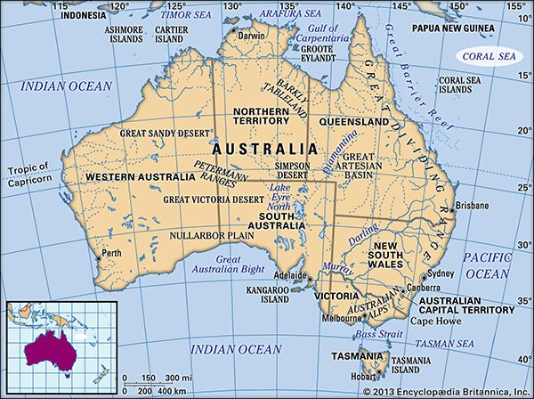
- Navigation: The sea is known for numerous uncharted shoals, and the Torres Strait—which connects the Arafura Sea to the Coral Sea—is considered a notoriously dangerous passage for ships.6
- Resources: The clear, protected waters surrounding the Aru Islands have historically supported a consistent, albeit small, pearl harvest.6
How does the climate of Papua affect its river systems?
The climate of Papua and the broader island of New Guinea significantly shapes its river systems through high precipitation and rugged topography. The island experiences exceptionally heavy rainfall, which, combined with steep mountain slopes and geologic instability, results in some of the world’s highest soil-erosion rates.78
These environmental factors influence rivers in several ways:
- Sedimentation: Rivers carry extraordinarily high sediment loads due to rapid erosion. This deposition has built vast, swampy plains and deltas along major systems like the Sepik, Ramu, Fly, and Purari.8
- Flow Patterns: While rivers often begin as fast-flowing streams in the Highlands, they frequently emerge through spectacular gorges and then meander slowly across low-lying sediment plains. For instance, the Fly River maintains a very low gradient as it approaches the sea.8
- Wetland Formation: The combination of high rainfall and poor drainage in low-relief areas leads to the creation of extensive swamp ecosystems, such as the Asmat Swamp, which are characterized by tidal and freshwater influences.9
Sources
- Digul River — Encyclopædia Britannica
- Indonesia - Drainage — Encyclopædia Britannica
- Papua New Guinea - Relief — Encyclopædia Britannica
- New Guinea — Encyclopædia Britannica
- Papua New Guinea - Land — Encyclopædia Britannica
- Arafura Sea — Encyclopædia Britannica
- Papua New Guinea - Climate of Papua New Guinea — Encyclopædia Britannica
- Papua - Geography — Encyclopædia Britannica
- Purari River — Encyclopædia Britannica
- Papua New Guinea - Drainage and soils — Encyclopædia Britannica
- Swamp — Encyclopædia Britannica
Published on · 3 min read