Langeland
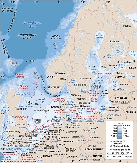
Langeland is an island belonging to Denmark, situated in the Baltic Sea between the islands of Funen and Lolland. Covering an area of 110 square miles (284…
What is Langeland?
Langeland is an island belonging to Denmark, situated in the Baltic Sea between the islands of Funen and Lolland. Covering an area of 110 square miles (284 square km), the island features undulating, well-wooded terrain with fertile clay loams that support grain cultivation and the raising of cattle and pigs.1
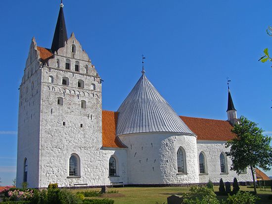
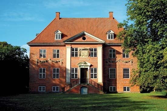
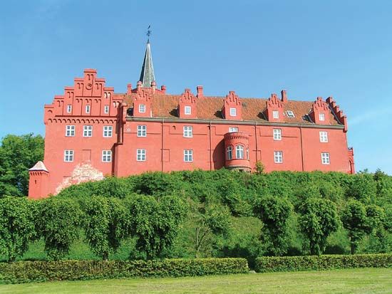
The island has a rich history; its principal town, Rudkøbing, was chartered in 1287, and the castle of Tranekær has served as a royal residence since 1231. Visitors can find historical sites such as medieval churches and a well-preserved Stone Age barrow in the southern region. Although a series of bridges connects Langeland to the rest of Denmark, the island has experienced a steady decline in population.1
What is the history of Tranekær Castle?
Tranekær Castle, located on the island of Langeland, has served as a royal residence since 1231. The structure underwent a significant reconstruction in 1550, which helped shape its historical character. While it remains a notable site on the island, it is distinct from other major Danish architectural projects, such as Rosenborg Castle, which was developed later during the reign of King Christian IV.13
How do bridges impact island life in Denmark?
Bridges are a defining feature of the Danish transportation system, fundamentally altering how residents interact with the country’s geography. By replacing or supplementing traditional ferry travel, these structures have integrated previously isolated islands into a cohesive national network.
The most significant impact comes from major engineering projects like the Great Belt Fixed Link, which connects the islands of Zealand and Funen via the island of Sprogø. This system, consisting of bridges and a tunnel, serves as a vital artery for road and rail traffic, drastically reducing travel times and increasing connectivity between Denmark’s eastern and western regions.45
Similarly, the Øresund Link has transformed regional life by connecting Copenhagen to Malmö, Sweden. This link not only facilitates easier commuting and trade but also provides direct access to Kastrup, one of Europe’s busiest airports, for residents on both sides of the border. These infrastructure developments have effectively unified the Danish archipelago, fostering economic integration and mobility across the nation.5
What are some other major islands in the Danish archipelago?
Denmark is home to an extensive archipelago of more than 400 islands. Beyond the largest islands of Zealand, Vendsyssel-Thy, and Funen, several other notable islands contribute to the nation’s geography:
- Bornholm: Located in the Baltic Sea, this island is geologically distinct, featuring ancient Precambrian granites and Cambrian sandstone formations.
- Lolland and Falster: These islands are situated south of Zealand and are key components of the southern Danish landscape.
- Langeland: Positioned near Funen, this island is well-known for its historical sites, including Tranekær Castle.
- Møn: Famous for its dramatic chalk cliffs, similar to those found on the coast of Zealand.
- Als and Fanø: These islands represent the diverse coastal geography found across the Danish territory.
Additionally, the Kingdom of Denmark includes the Faroe Islands and Greenland, which are self-governing territories located in the North Atlantic.678
Sources
- Langeland — Encyclopædia Britannica
- Lolland — Encyclopædia Britannica
- 19 Significant Buildings Worth Seeing in Denmark - Rosenborg Castle — Encyclopædia Britannica
- Great Belt — Encyclopædia Britannica
- Denmark - Transportation and telecommunications — Encyclopædia Britannica
- Zealand — Encyclopædia Britannica
- Denmark — Encyclopædia Britannica
- list of islands - Denmark — Encyclopædia Britannica
- Denmark - Relief — Encyclopædia Britannica
Published on · 2 min read