Sheyenne River
The Sheyenne River is a 325-mile-long (525 km) waterway in central North Dakota, making it the longest river located entirely within the state.
What is Sheyenne River?
The Sheyenne River is a 325-mile-long (525 km) waterway in central North Dakota, making it the longest river located entirely within the state.12
The river originates in Sheridan County and follows a winding path: it flows east past the Spirit Lake Sioux reservation, turns south through Valley City—where the Baldhill Dam creates Lake Ashtabula—and eventually turns northeast near Lisbon to join the Red River of the North north of Fargo. The river was named for the Cheyenne Indians, and the area near Lisbon is home to the Sheyenne National Grassland, which protects a rare remnant of tallgrass prairie.1
What is the Red River of the North?
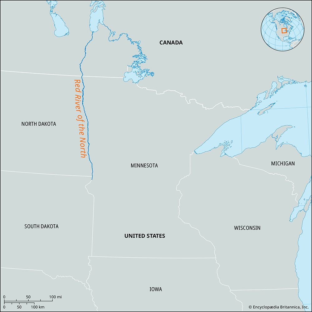
The Red River of the North is a 545-mile-long (877 km) river that flows northward through the northern United States and southern Manitoba, Canada. It is formed by the confluence of the Bois de Sioux and Otter Tail rivers at the border of Wahpeton, North Dakota, and Breckenridge, Minnesota. The river serves as the boundary between North Dakota and Minnesota for 440 miles (710 km) before entering Manitoba and emptying into Lake Winnipeg.3
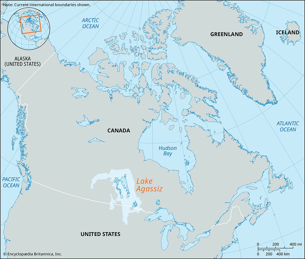
The river’s name derives from the reddish-brown silt it carries. Its valley, once the floor of the glacial Lake Agassiz, contains highly fertile silt-loam soil that supports major agricultural production, including spring wheat, sugar beets, and potatoes. Historically, the river served as a vital transportation link, and today it remains navigable for ships reaching cities like Winnipeg, Grand Forks, and Fargo. Major tributaries include the Sheyenne, Wild Rice, Pembina, and Assiniboine rivers.3
It is important to distinguish this waterway from the Red River of the southern United States, which flows through Texas, Oklahoma, Arkansas, and Louisiana.1
What is a tallgrass prairie ecosystem?
A tallgrass prairie, sometimes referred to as “true prairie,” is a type of grassland ecosystem found in the more humid, eastern regions of the North American Great Plains, where it historically bordered deciduous forests.55
Key characteristics of this ecosystem include:
- Vegetation: The landscape is dominated by sod-forming tallgrasses, such as big bluestem and prairie cordgrass, which feature deep root systems. Drier upland sites often support bunchgrasses like needlegrass and prairie dropseed.6
- Environmental Drivers: Historically, the absence of trees was maintained by a combination of strong winds, high summer temperatures, periodic drought, and frequent fires—both naturally occurring and those set by Indigenous peoples to manage the land for hunting and grazing.65
- Soil: The region is known for its highly fertile soil, which has led to the conversion of most native tallgrass prairies into intensive agricultural land for crops like corn.67
Today, only small, protected fragments of this ecosystem remain, as most of the original expanse was highly suitable for cultivation.67
How do dams like Baldhill Dam affect river environments?
Dams, such as the Baldhill Dam on the Sheyenne River, significantly alter river environments by transforming natural flow regimes into managed systems. These structures impact ecosystems in several key ways:910
- Sediment Trapping: Dams impound water, causing flow velocity to decrease and sediment to settle in the reservoir. This process reduces the sediment load downstream, which can lead to increased erosion of riverbanks and channels below the dam, as the “sediment-starved” water regains its transporting capacity.11912
- Habitat Fragmentation: Dams act as physical barriers that block the migration of fish and other aquatic species, often leading to population declines. While some structures incorporate fish passes like ladders or locks to mitigate this, their success is not always guaranteed.131
- Inundation and Displacement: The creation of reservoirs, such as Lake Ashtabula, results in the flooding of upstream land, which can destroy local ecosystems, submerge cultural sites, and displace human populations.1912
- Water Quality and Loss: Reservoirs are subject to evaporation and seepage, and they can alter the temperature and chemical composition of the water released downstream, further impacting native flora and fauna.9
Sources
- Sheyenne River — Encyclopædia Britannica
- Sheyenne — Merriam-Webster
- Red River of the North — Encyclopædia Britannica
- Red River — Encyclopædia Britannica
- Prairie — Encyclopædia Britannica
- Rangeland — Encyclopædia Britannica
- Grassland - Biota — Encyclopædia Britannica
- North America - Temperate grasslands — Encyclopædia Britannica
- dam - Fish passes — Encyclopædia Britannica
- dam - Rise of environmental and economic concerns — Encyclopædia Britannica
- river - Environments of deposition — Encyclopædia Britannica
- reservoir — Encyclopædia Britannica
- Yangtze River - Human impact on the environment — Encyclopædia Britannica
- dam - Reservoirs — Encyclopædia Britannica
- water infrastructure in India - Reservoirs — Encyclopædia Britannica
Published on · 3 min read