Yaque Del Sur River
The Yaque del Sur River is a major river system located in the southwestern Dominican Republic. Stretching 80 miles (130 km), its headstreams originate on…
What is Yaque del Sur River?
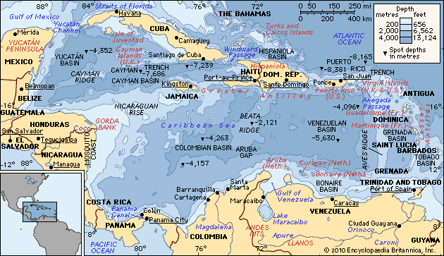
The Yaque del Sur River is a major river system located in the southwestern Dominican Republic. Stretching 80 miles (130 km), its headstreams originate on the southern slopes of the Cordillera Central and unite near Duarte Peak. The river flows through the San Juan and Neiba valleys before turning eastward to empty into Neiba Bay in the Caribbean Sea, near the city of Barahona.1
While the river is not navigable for large vessels, it serves as a vital economic resource. Its waters are essential for the irrigation of various crops, including rice, plantains, sugarcane, beans, bananas, and peanuts.1
What is the Cordillera Central mountain range?
The term “Cordillera Central” refers to two distinct mountain ranges in the Caribbean, depending on the location:
Cordillera Central (Dominican Republic)
Located in the western Dominican Republic, this structurally complex range extends from just west of Santo Domingo to the Haitian border. It serves as the source for the nation’s three primary river systems: the Yuna, the Yaque del Norte, and the Yaque del Sur. The range features a crestline between 5,000 and 8,000 feet (1,500–2,400 m), and it contains Duarte Peak, which at 10,417 feet (3,175 m) is the highest peak in the West Indies. Due to its rugged, heavily forested terrain, the area is sparsely settled.2
Cordillera Central (Puerto Rico)
This limestone range forms the interior of Puerto Rico. Its highest point is Cerro de Punta, reaching 4,390 feet (1,338 m). The rivers flowing from these mountains are utilized for hydroelectric power and water supply.3
How does irrigation support agriculture in the Dominican Republic?
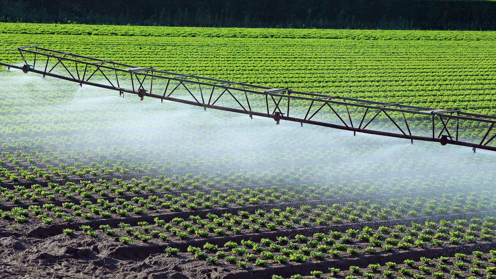
Irrigation is a fundamental component of agriculture in the Dominican Republic, enabling the cultivation of essential food and cash crops in the nation’s fertile valleys. By providing a consistent water supply, irrigation compensates for variations in rainfall, ensuring that crops receive the moisture necessary for nutrient absorption and healthy root development.617
The country’s three primary river systems are central to these agricultural efforts:
- Yaque del Sur River: Its waters are used extensively to irrigate rice, plantains, sugarcane, beans, bananas, and peanuts.8
- Yuna River: This river is a critical water source primarily used for the irrigation of rice crops.9
- Yaque del Norte River: Along with the Yuna and other systems, this river helps feed the fertile alluvial soils of the Cibao Valley, which is one of the country’s most productive agricultural regions.1
These irrigation networks allow the Dominican Republic to produce a significant portion of its own food supply, distinguishing it from many other Caribbean nations.6
What are the other two major river systems in the Dominican Republic?
The three most important river systems in the Dominican Republic are the Yaque del Sur, the Yaque del Norte, and the Yuna. Having already discussed the Yaque del Sur, the other two major systems are:
- Yaque del Norte River: As the largest river in the country, it spans 240 miles (386 km). It originates on the northern slopes of the Cordillera Central and flows through the fertile Cibao Valley before emptying into Manzanillo Bay. Its waters are vital for irrigating crops such as rice, sugarcane, plantains, and tobacco.18
- Yuna River: This system flows eastward and, along with the Yaque del Norte, feeds the productive soils of the Cibao Valley. It is a critical water source primarily utilized for the irrigation of rice.1
Sources
- Yaque del Sur River — Encyclopædia Britannica
- Cordillera Central — Encyclopædia Britannica
- Andes Mountains - Geology — Encyclopædia Britannica
- Dominican Republic - Climate — Encyclopædia Britannica
- Cordillera Central — Encyclopædia Britannica
- Dominican Republic - Agriculture, fisheries, and forestry — Encyclopædia Britannica
- Yuna River — Encyclopædia Britannica
- Dominican Republic - Relief, drainage, and soils — Encyclopædia Britannica
- Vegetable farming - Moisture — Encyclopædia Britannica
- Yaque del Norte River — Encyclopædia Britannica
Published on · 3 min read