Gulf of Kachchh
The Gulf of Kachchh is a northeastern arm of the Arabian Sea located in west-central India. It extends eastward for approximately 110 miles (180 km) between…
What is Gulf of Kachchh?
The Gulf of Kachchh is a northeastern arm of the Arabian Sea located in west-central India1. It extends eastward for approximately 110 miles (180 km) between the Rann of Kachchh and the Kāthiāwār Peninsula, with a width ranging from 10 to 40 miles (16 to 65 km).1
The geography of the gulf is characterized by numerous small islands and mudflats along its rim. It is also notable for its significant tides; for instance, the area near Navlakhi experiences a high tidal range of 25.5 feet (7.8 metres). Several important ports are situated along the gulf, including Okha at its entrance, as well as Māndvi, Bedi, and Kandla.12
What is the Rann of Kachchh?
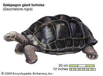
The Rann of Kachchh (also spelled Rann of Kutch) is a vast region of saline mudflats situated in west-central India and southern Pakistan. The name derives from the Hindi word for “desert,” while “Kachchh” is linked to a local fable suggesting the region’s map resembles a tortoise.34
The region is divided into two main parts:
- Great Rann: Located in the north, covering about 7,000 square miles (18,000 square km), primarily within the Indian state of Gujarat.3
- Little Rann: Located in the southeast, occupying about 2,000 square miles (5,100 square km).3
Geologically, the Rann was once a shallow part of the Arabian Sea before shifting landmasses closed the connection. Today, it functions as a seasonal salt marsh; it becomes a waterlogged wetland during the monsoon season and dries into a white, salty crust during the summer.3
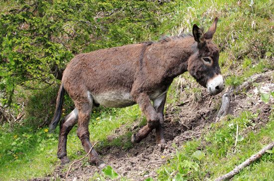
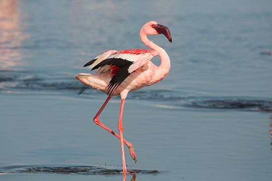
The area is ecologically significant, hosting wildlife sanctuaries that protect species such as flamingos and the endangered Indian wild ass/animal/flamingo-bird) and the endangered Indian wild ass. Historically, the region was home to major Indus valley civilization settlements, including the notable site of Dholavira.3
How do high tidal ranges affect local ports?
High tidal ranges significantly impact port operations by complicating cargo handling and infrastructure design. When the difference between low and high water is extreme, the resulting variations in the level of ship decks and hatches can make efficient cargo transfer difficult or impossible.2
To address these challenges, engineers often employ the following strategies:
- Enclosed Docks: Ports may construct enclosed docks where water levels are kept constant. Access to these areas is managed through locks, which allow ships to enter and exit despite external tidal fluctuations.2
- Infrastructure Design: Quay walls must be built to span the distance from the lowest navigable seabed level to an adequate height above the highest high tide. In areas with extreme ranges, such as the Gulf of Kachchh or the Gulf of Khambhat, these requirements can make construction economically challenging.62
- Hydraulic Modeling: Before large-scale port development, engineers use scale models to simulate tidal streams and detect potential issues like siltation or scour caused by powerful currents.7
While enclosed docks solve height-related issues, they introduce operational constraints, such as restricted entry and exit times based on rigid tidal schedules.2
What are the main differences between the Gulf of Kachchh and the Gulf of Khambhat?
The Gulf of Kachchh and the Gulf of Khambhat are both arms of the Arabian Sea located along the coast of Gujarat, India, but they differ significantly in their geography, hydrology, and commercial history.
Geographic and Physical Differences
- Location and Shape: The Gulf of Kachchh extends eastward for about 110 miles between the Rann of Kachchh and the Kathiawar Peninsula, with a width varying from 10 to 40 miles. In contrast, the Gulf of Khambhat is a trumpet-shaped inlet that indents the coast between Mumbai and the Kathiawar Peninsula, narrowing rapidly from 120 miles at its mouth to 15 miles.18
- Hydrology: The Gulf of Khambhat receives major rivers, including the Sabarmati, Mahi, Narmada, and Tapti. These rivers contribute to significant silting, which has historically hindered port operations.89
- Tidal Ranges: Both regions experience high tidal ranges, but the Gulf of Khambhat exhibits more extreme conditions. Tidal ranges reach up to 38 feet (11.6 metres) in the Gulf of Khambhat, compared to approximately 25.5 feet (7.8 metres) in the Gulf of Kachchh.10
Commercial Context
While the Gulf of Kachchh hosts ports such as Okha, Mandvi, and Kandla, the Gulf of Khambhat is noted for historic ports like Surat and Bharuch. Although silting reduced the importance of some older ports in the Gulf of Khambhat, the region has seen a commercial revival due to the discovery of oil and natural gas.189
Sources
- Gulf of Kachchh — Encyclopædia Britannica
- Indian Ocean - Tides — Encyclopædia Britannica
- Rann of Kachchh — Encyclopædia Britannica
- Kachchh, Rann of — Merriam-Webster
- Gujarat - Cultural life — Encyclopædia Britannica
- Harbors and sea works - Enclosed docks — Encyclopædia Britannica
- Harbors and sea works - Hydraulic models — Encyclopædia Britannica
- Gulf of Khambhat — Encyclopædia Britannica
- Khambhat — Encyclopædia Britannica
- Gujarat - Relief, drainage, and soils — Encyclopædia Britannica
Published on · 3 min read